Archives for posts with tag: forest
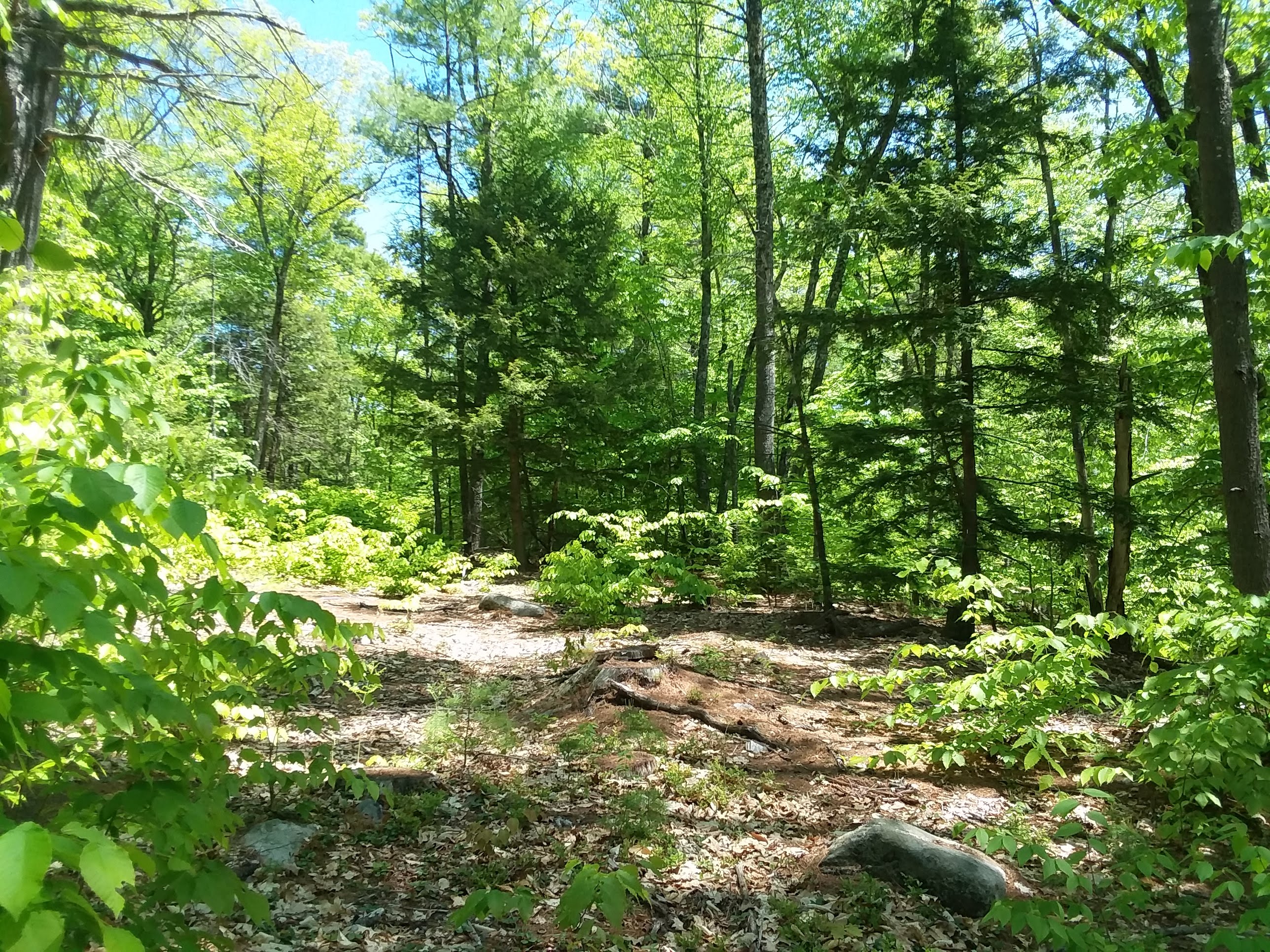
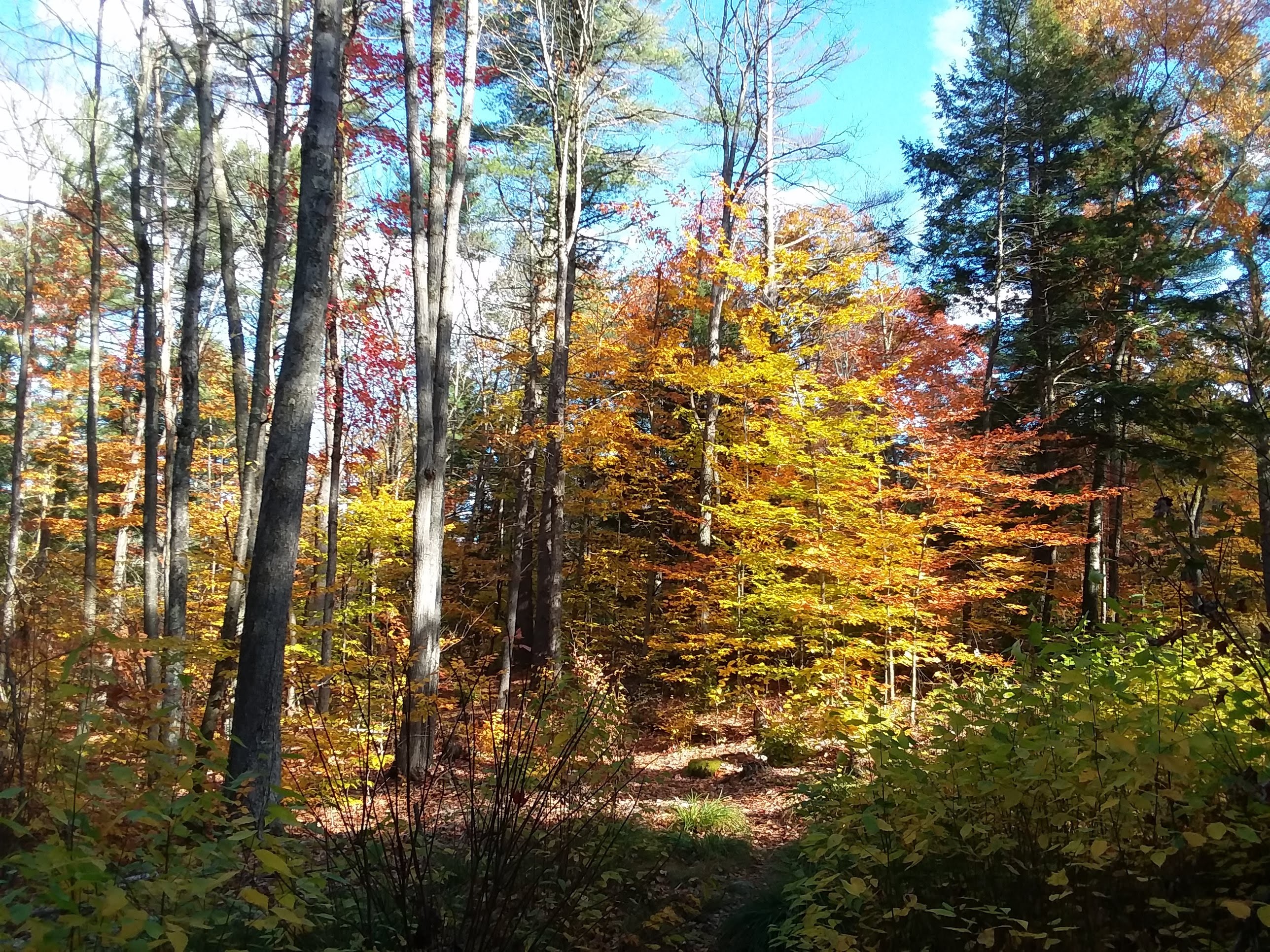
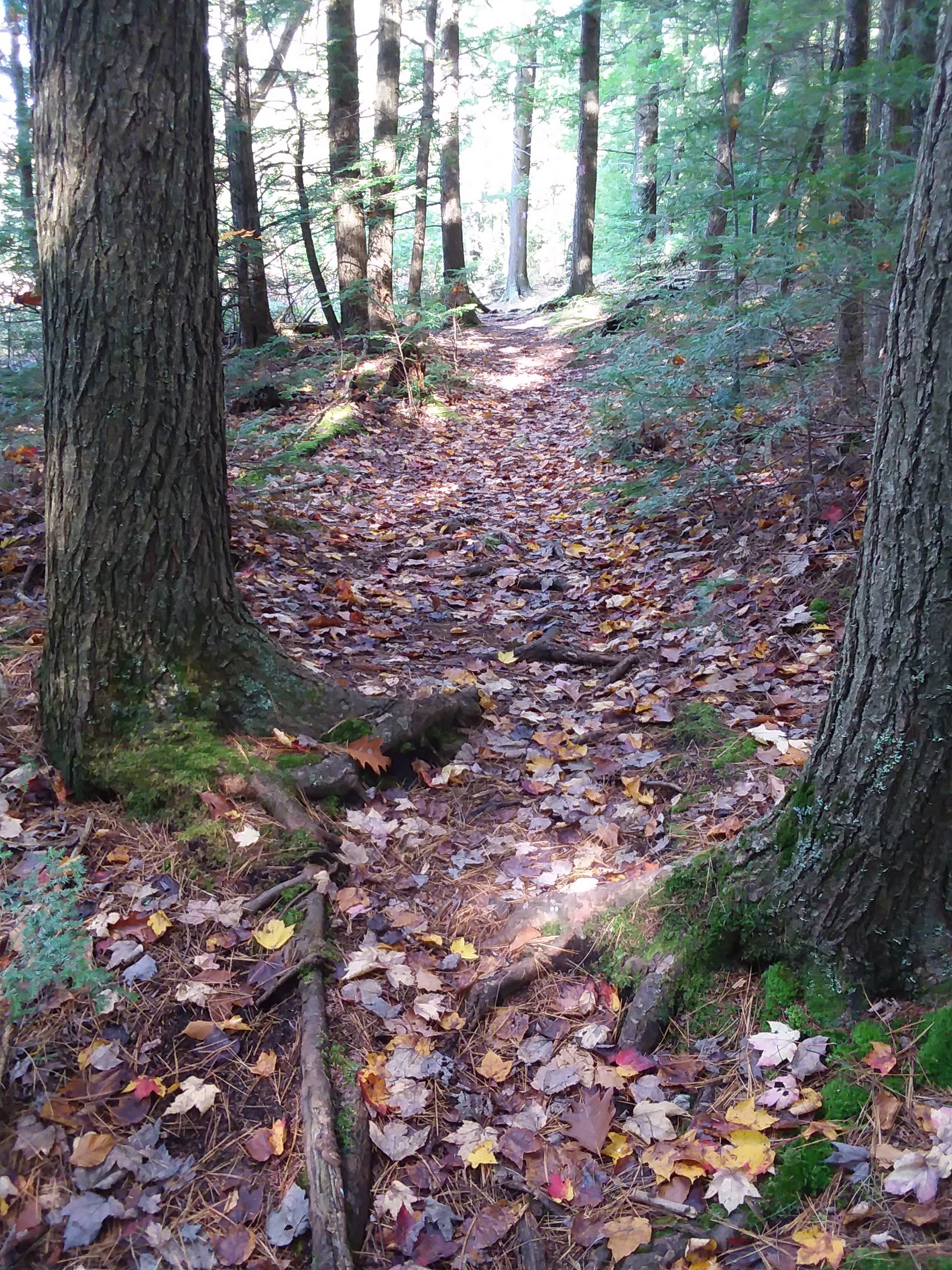
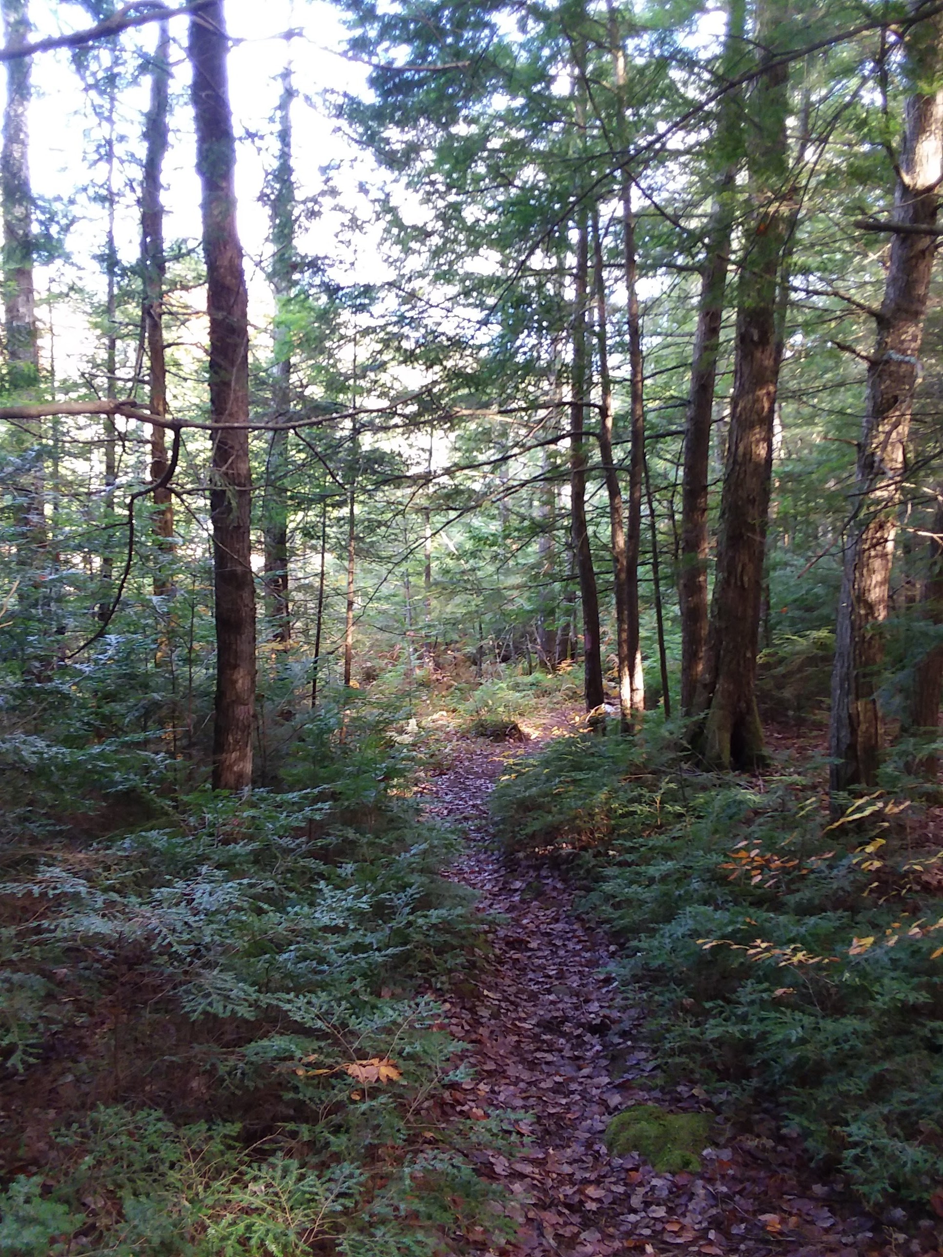
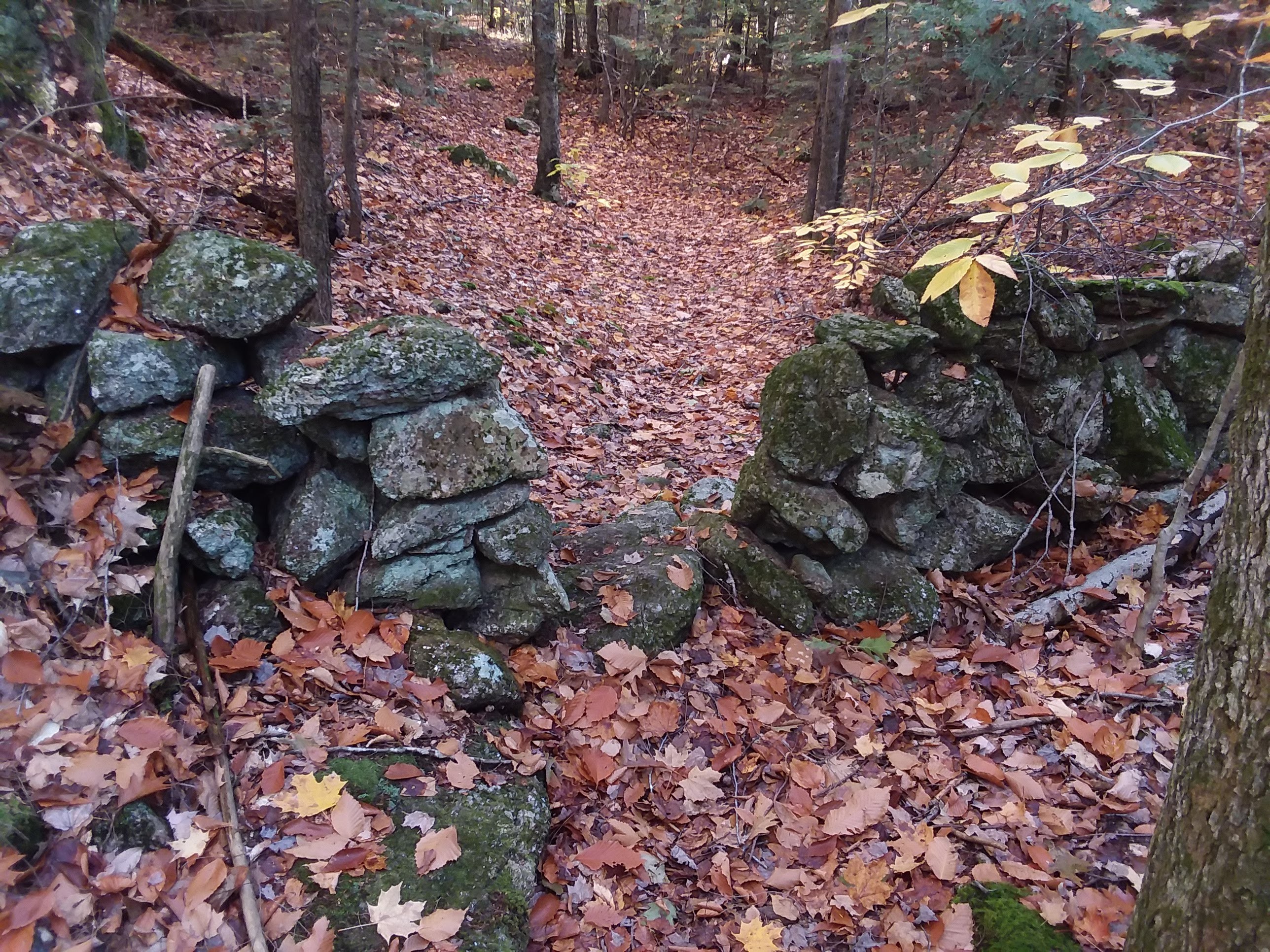
 A two mile long path unfolds through wetlands, logging trails and high ridges overlooking beaver marshes. The one hundred and ten acres of land is managed by the Conservation Commission and Forestry Committee. It was created by volunteers in 1991.
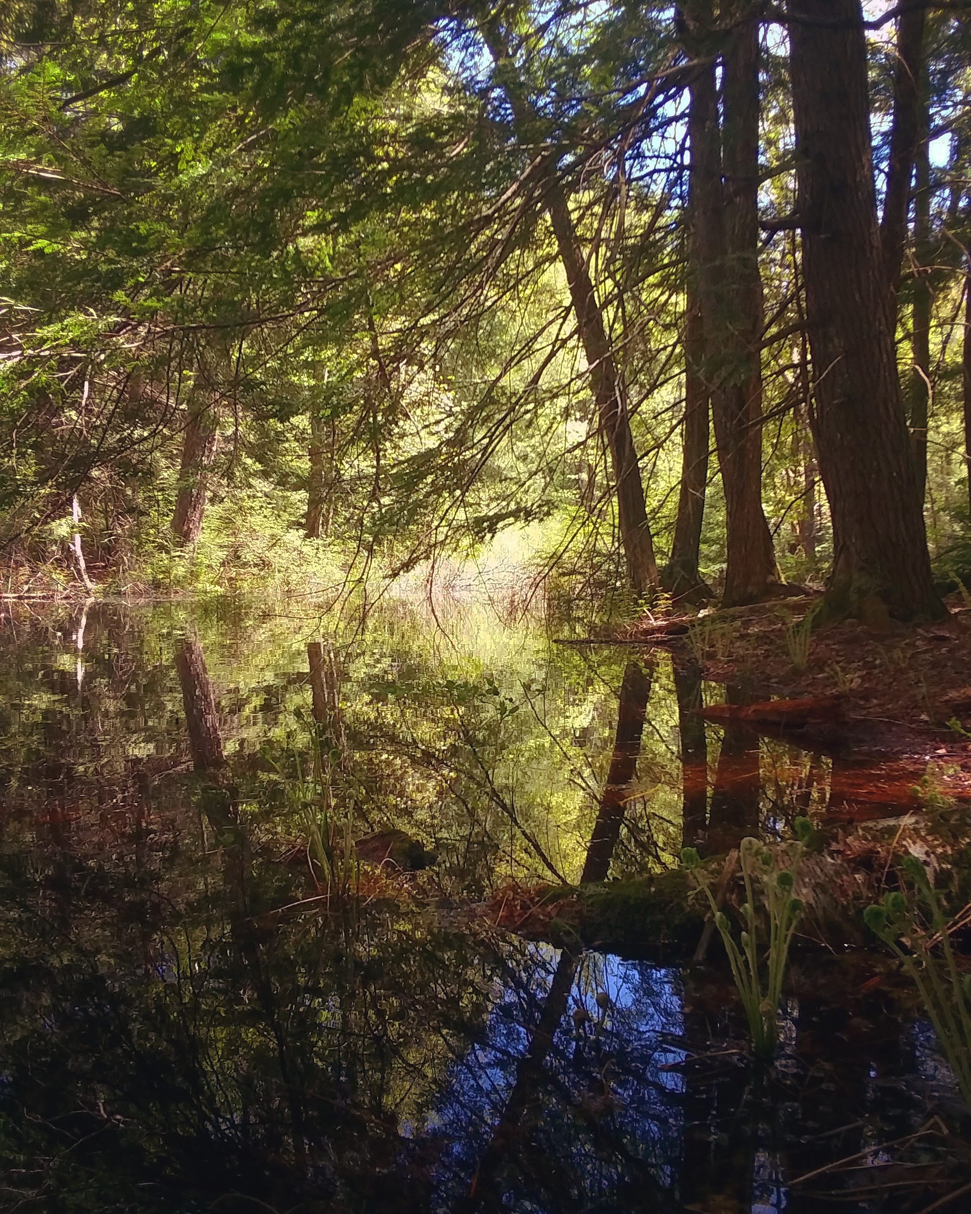
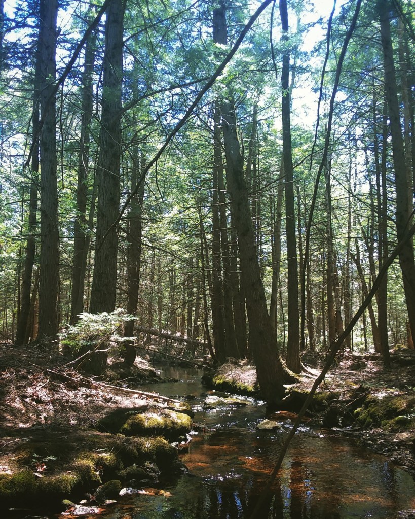
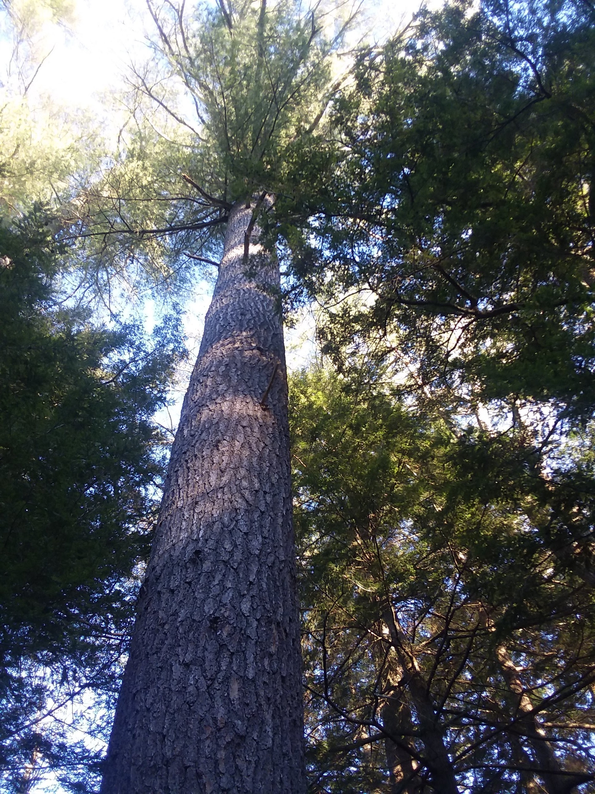
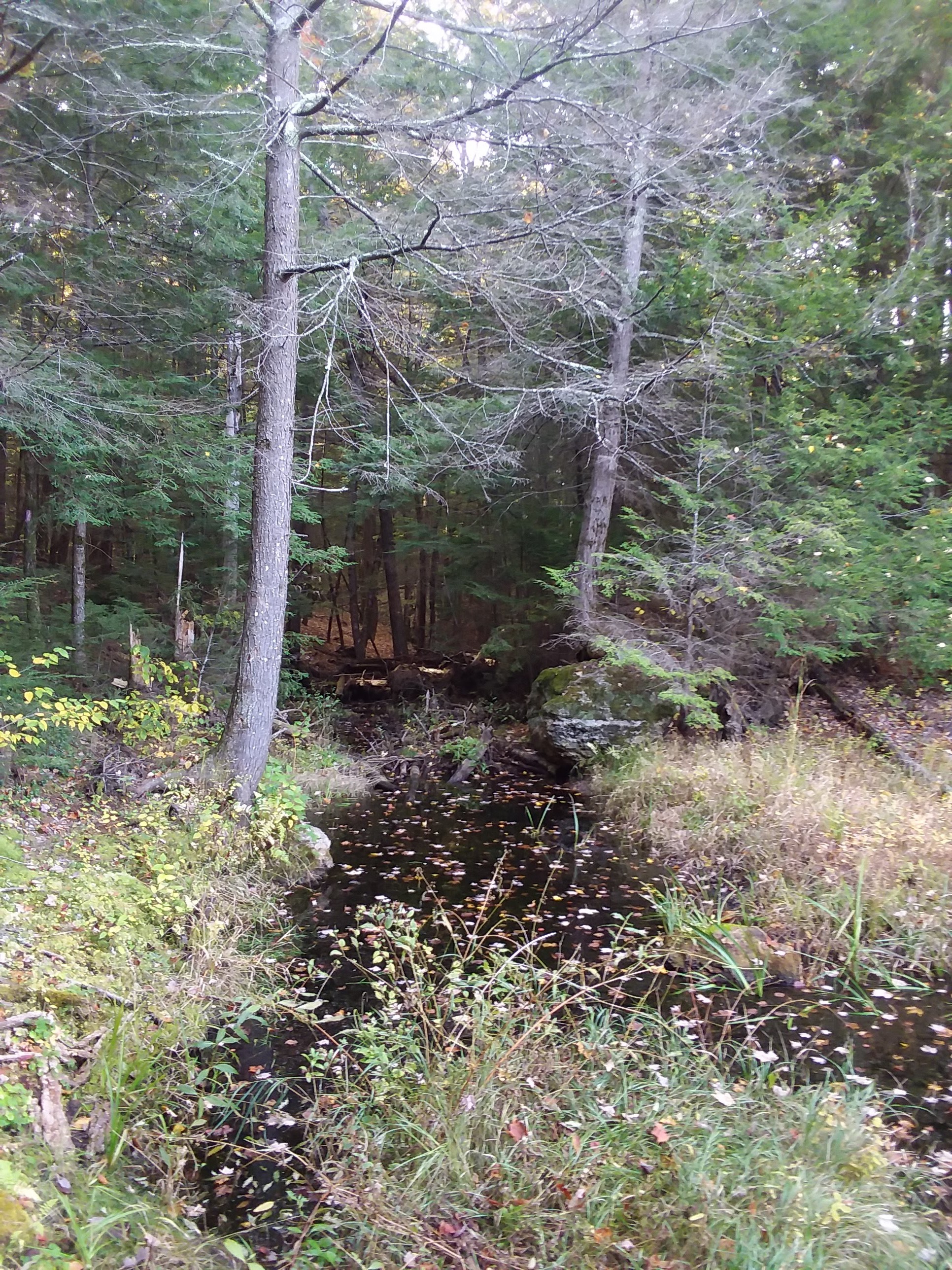
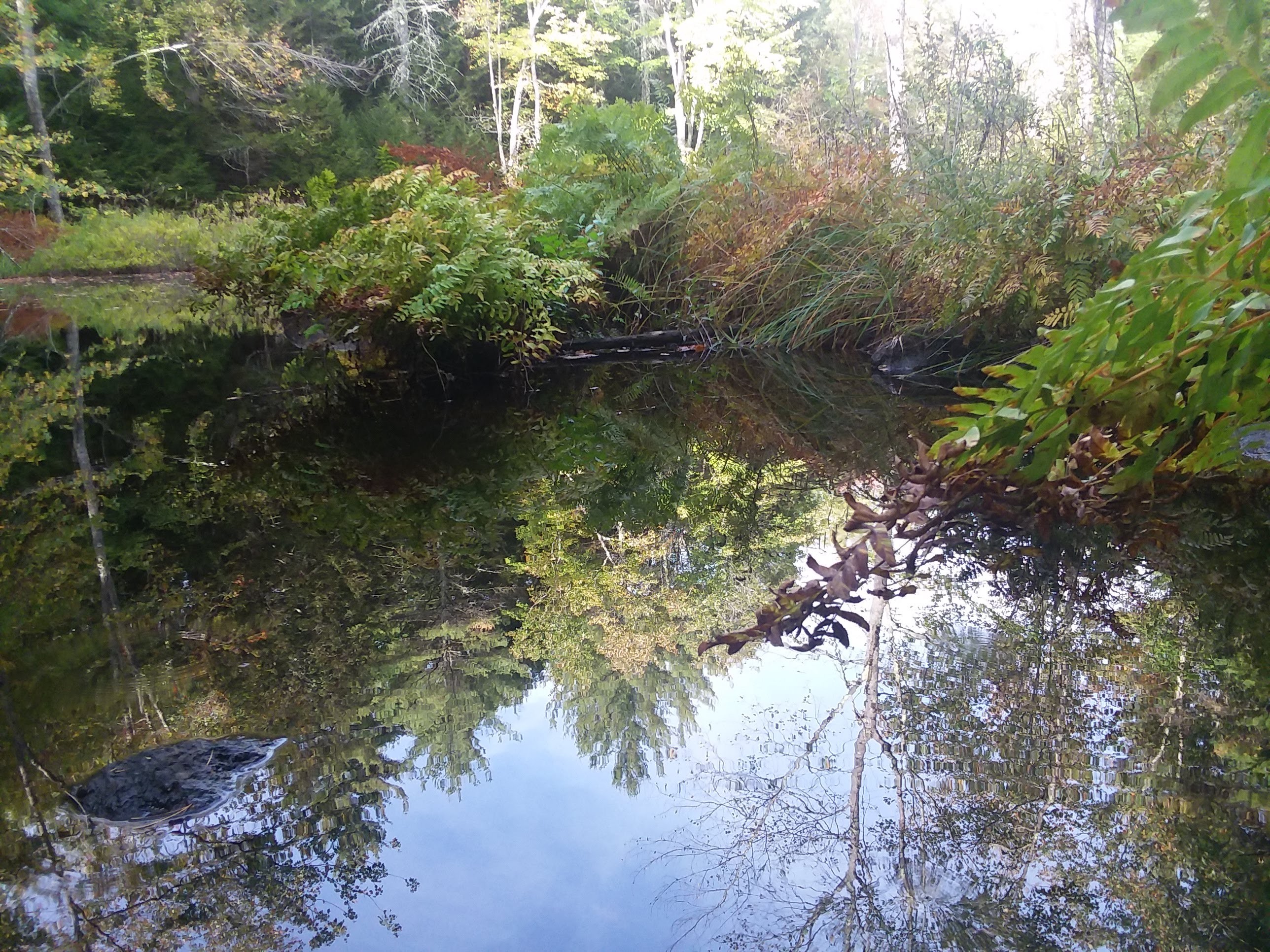
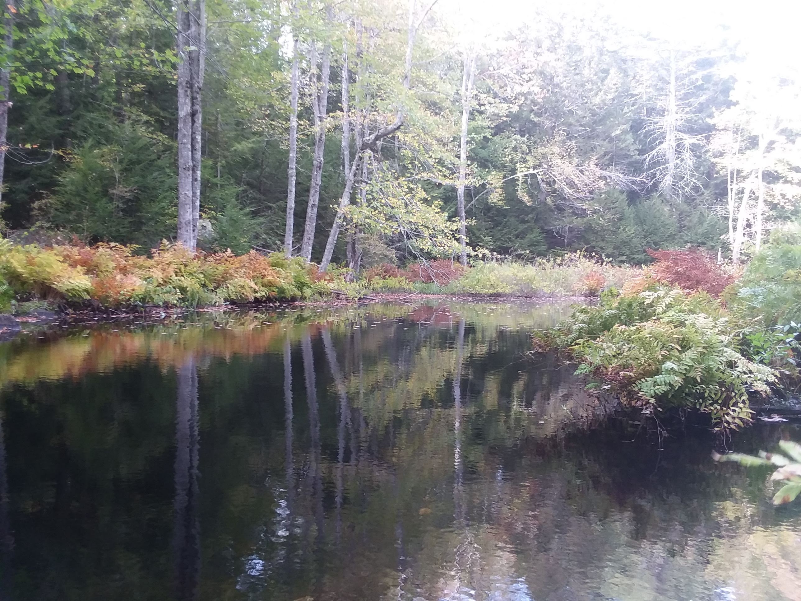
 A vernal pond under the heavy canopy of an old growth section of forest.
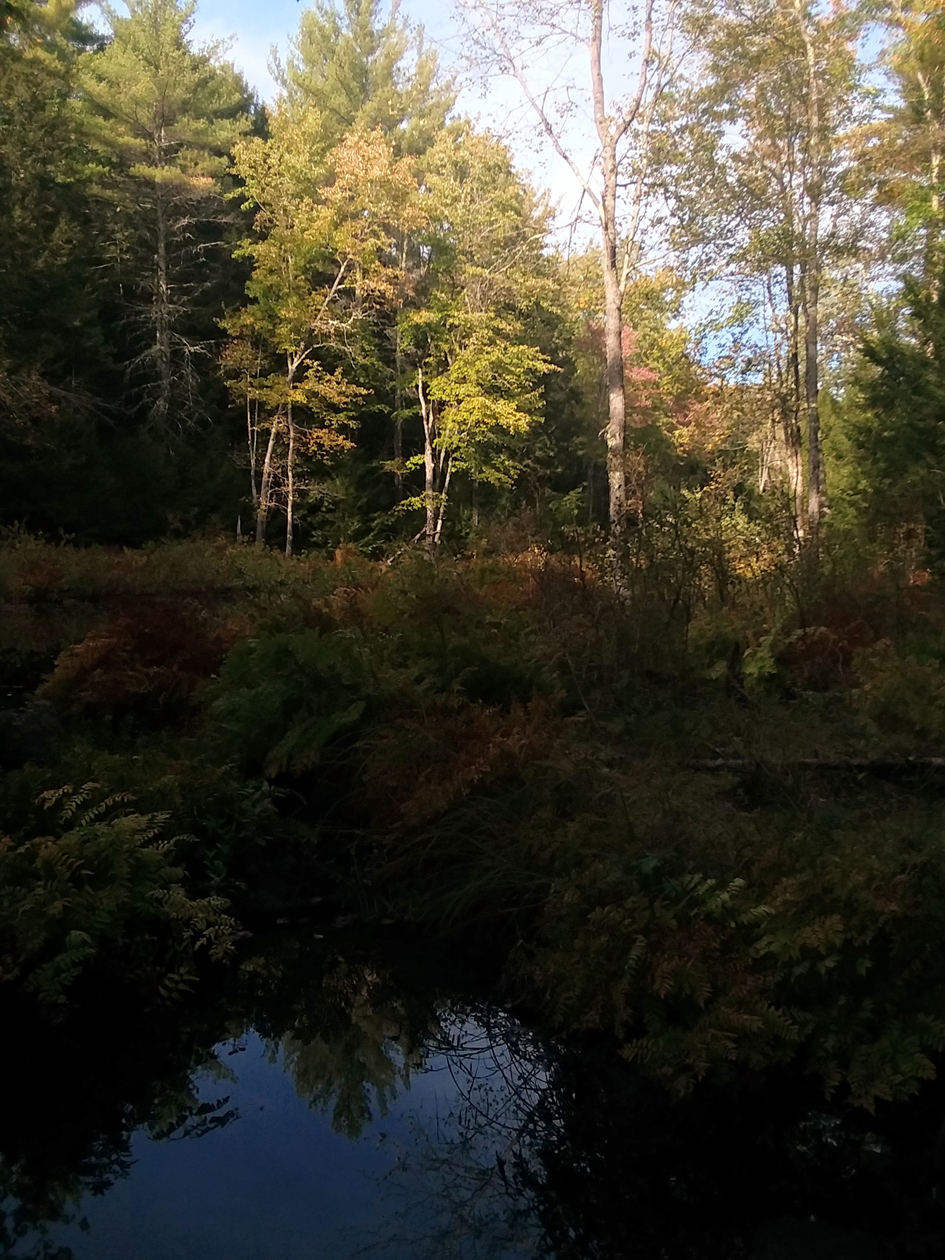
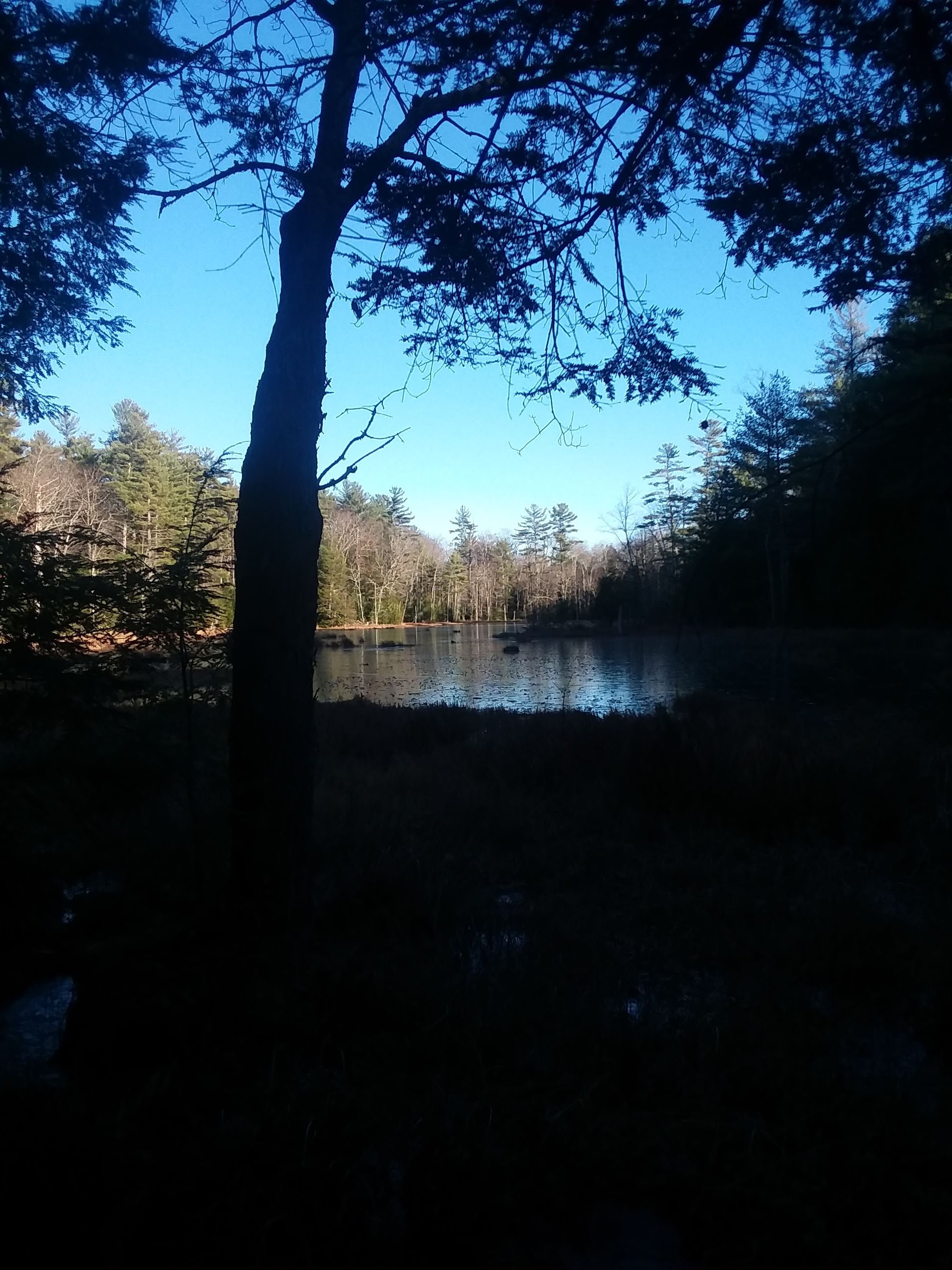
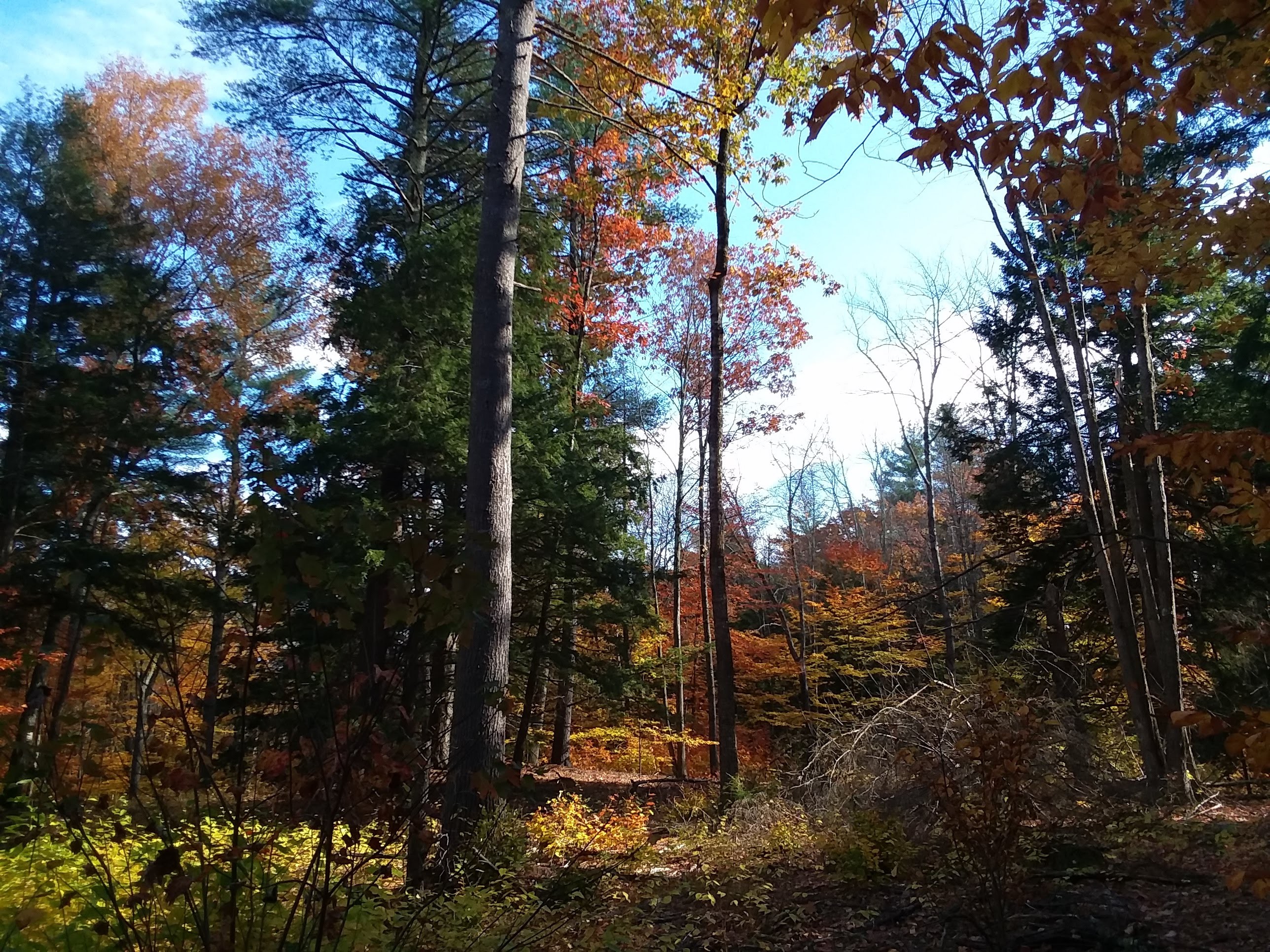
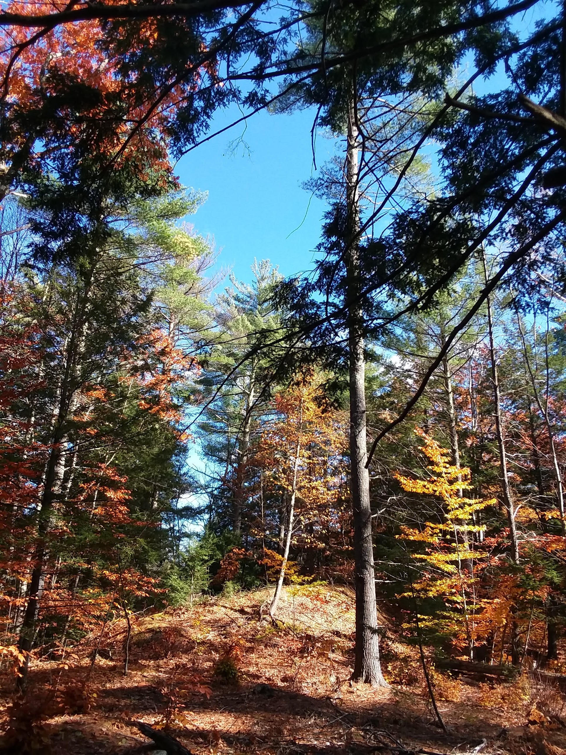
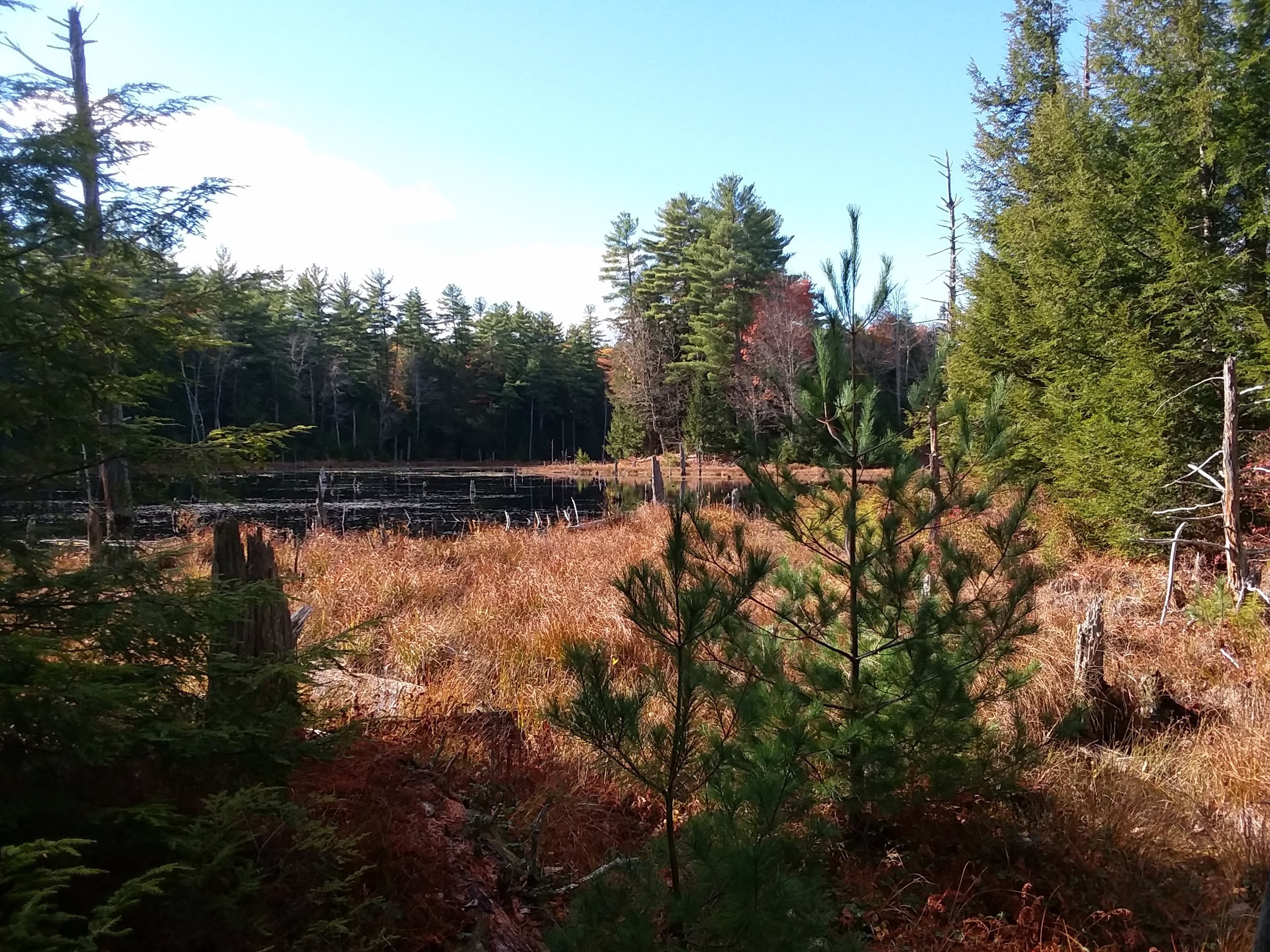
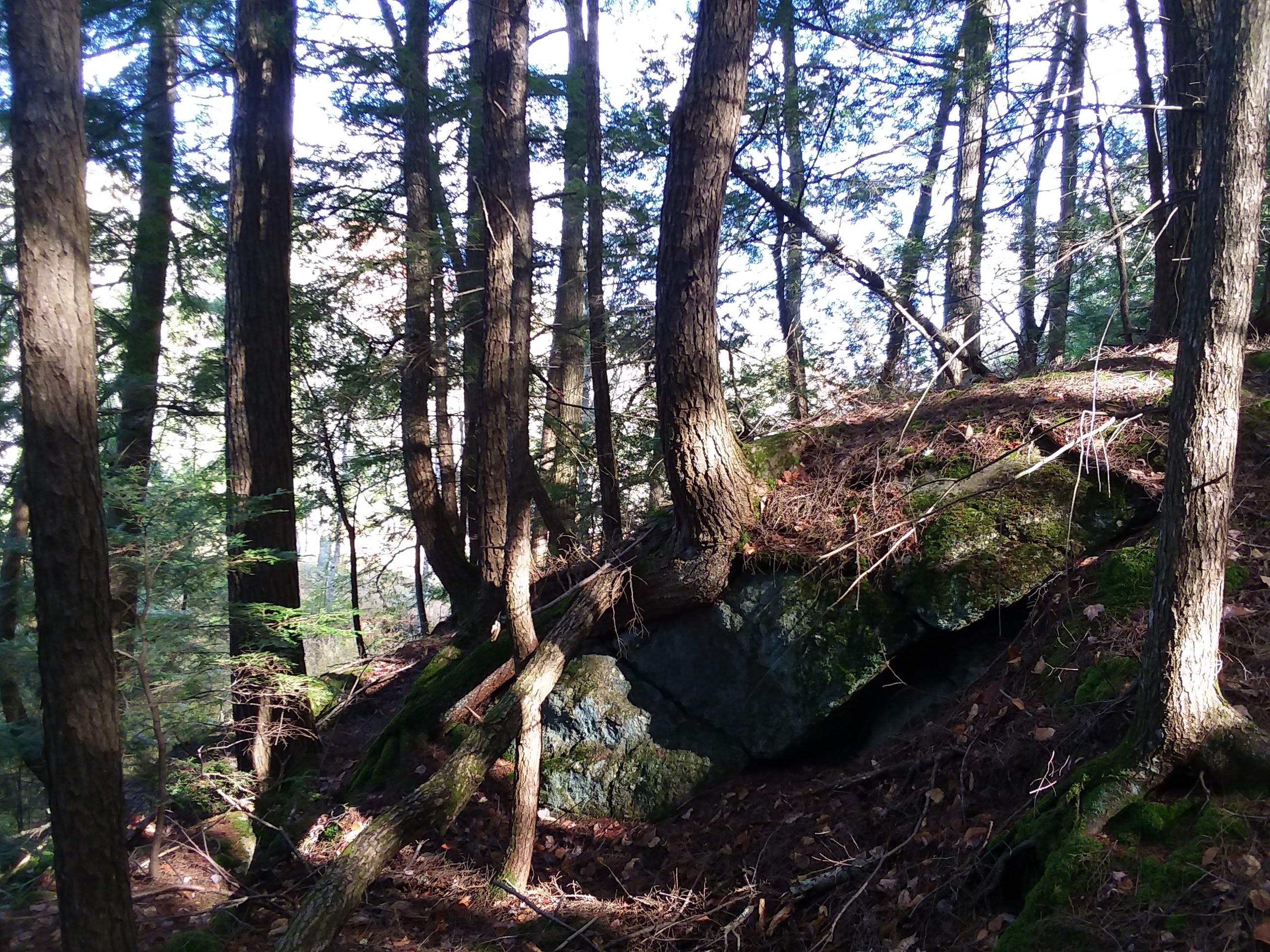
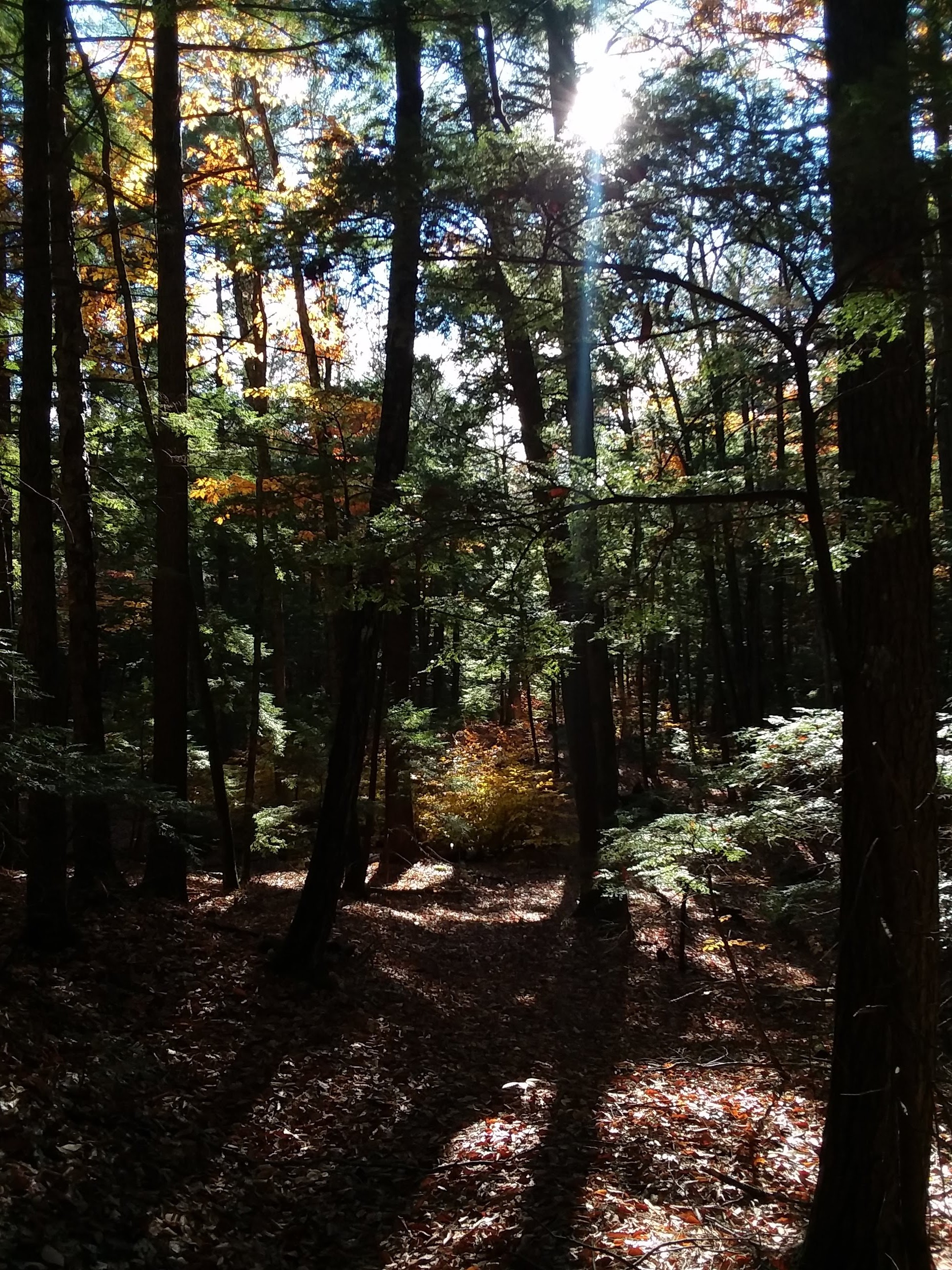
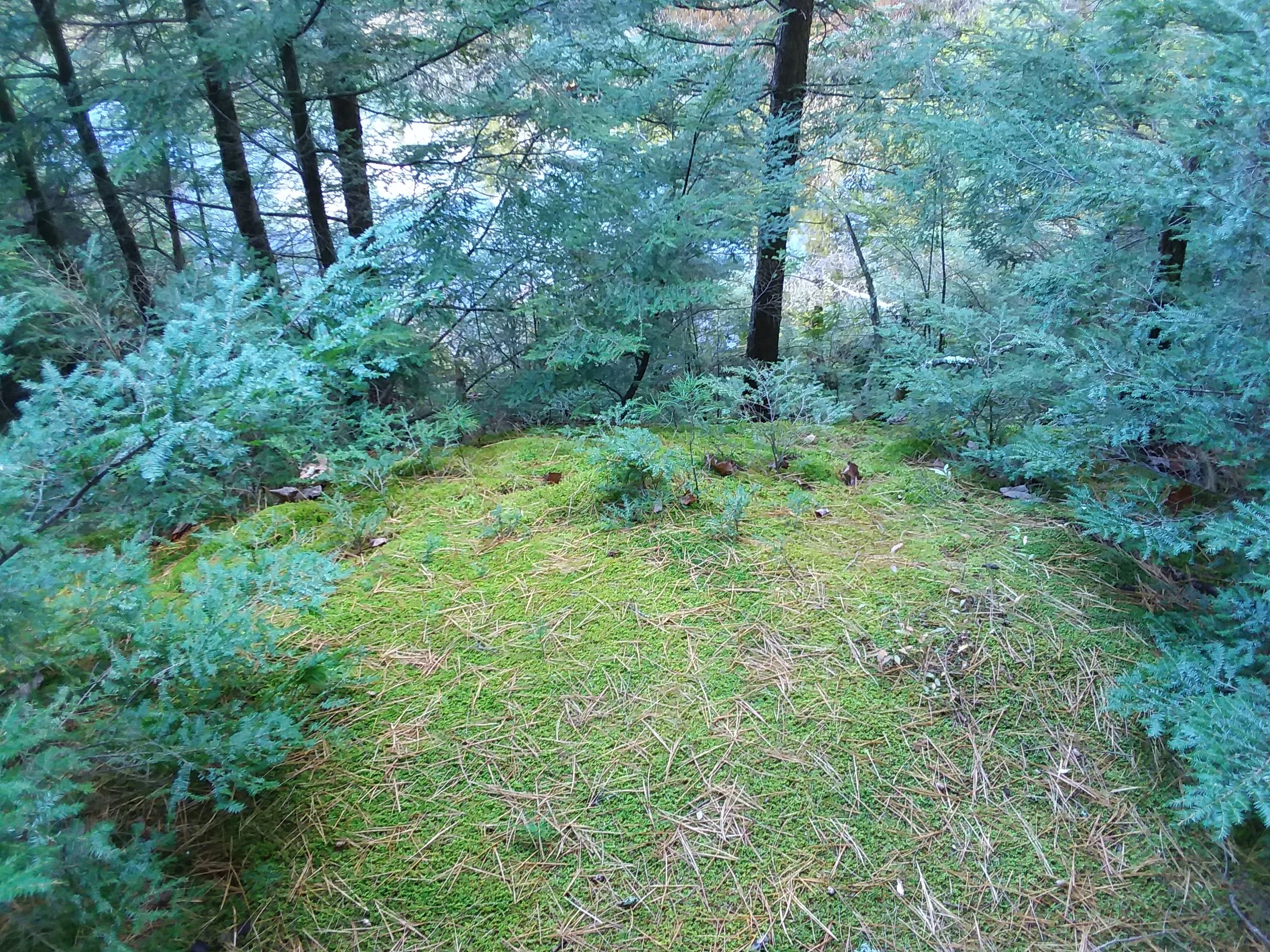
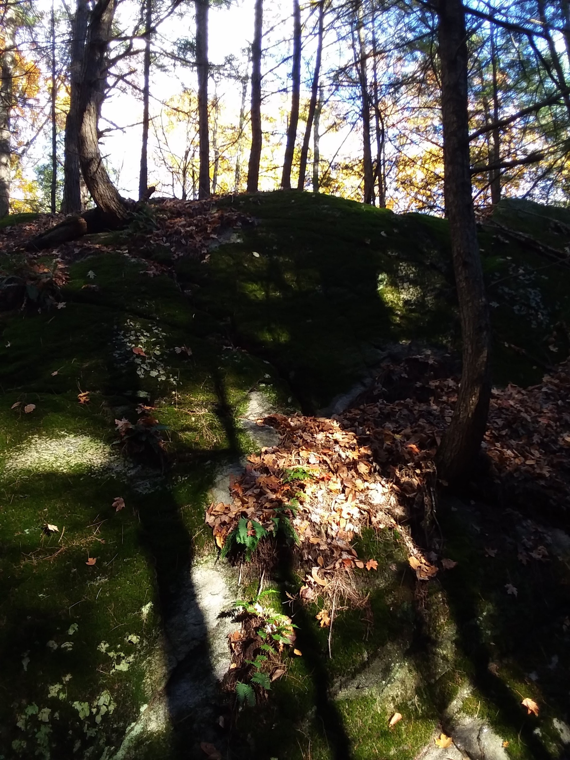
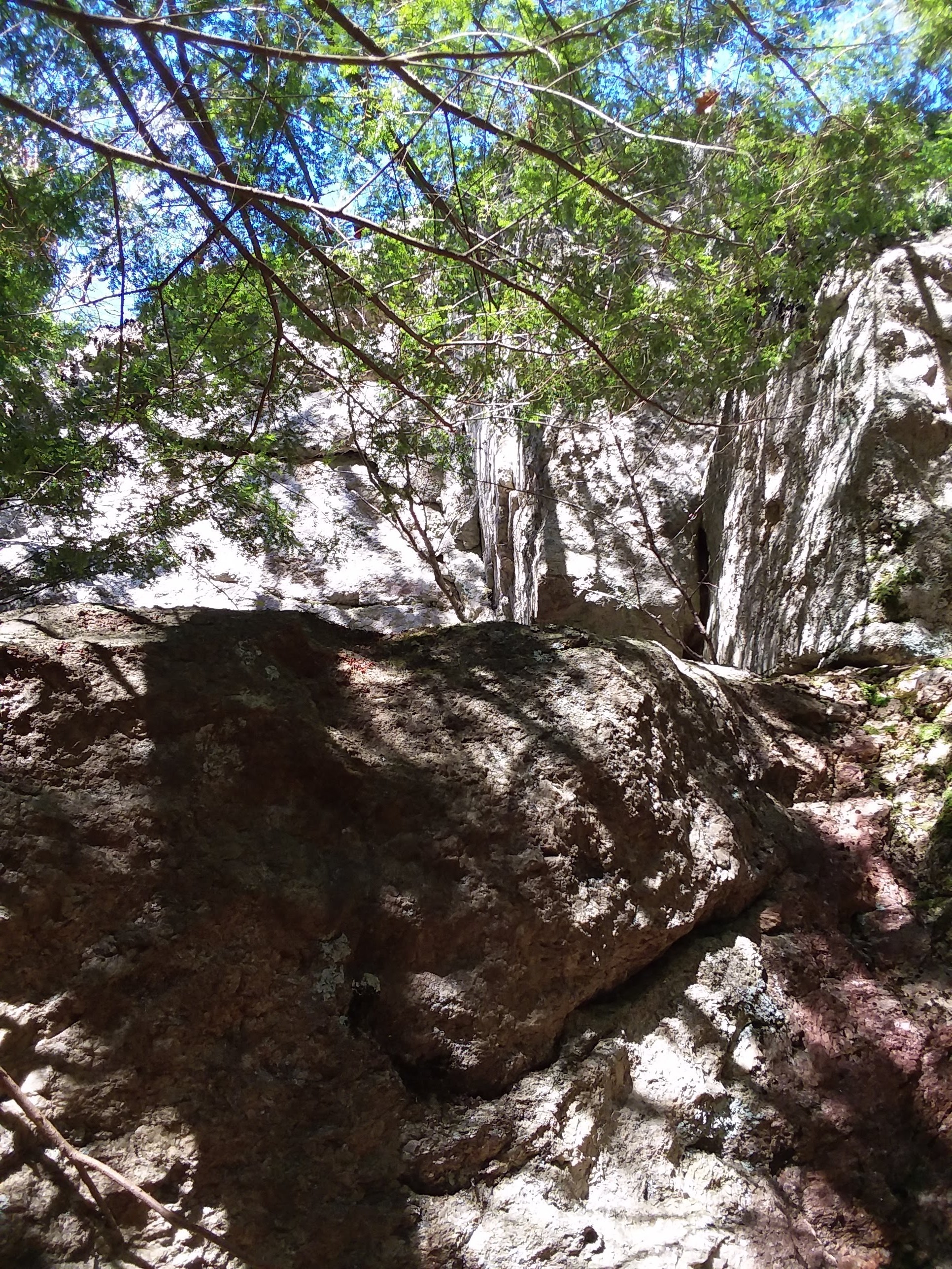
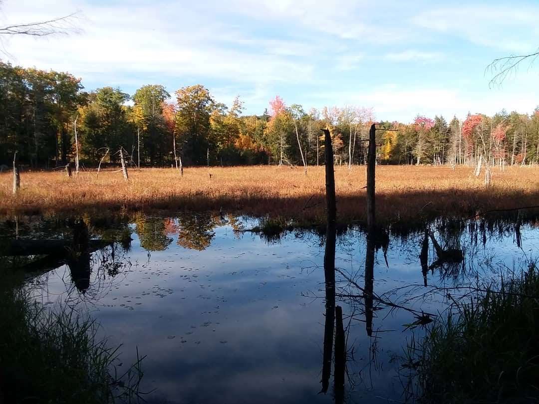
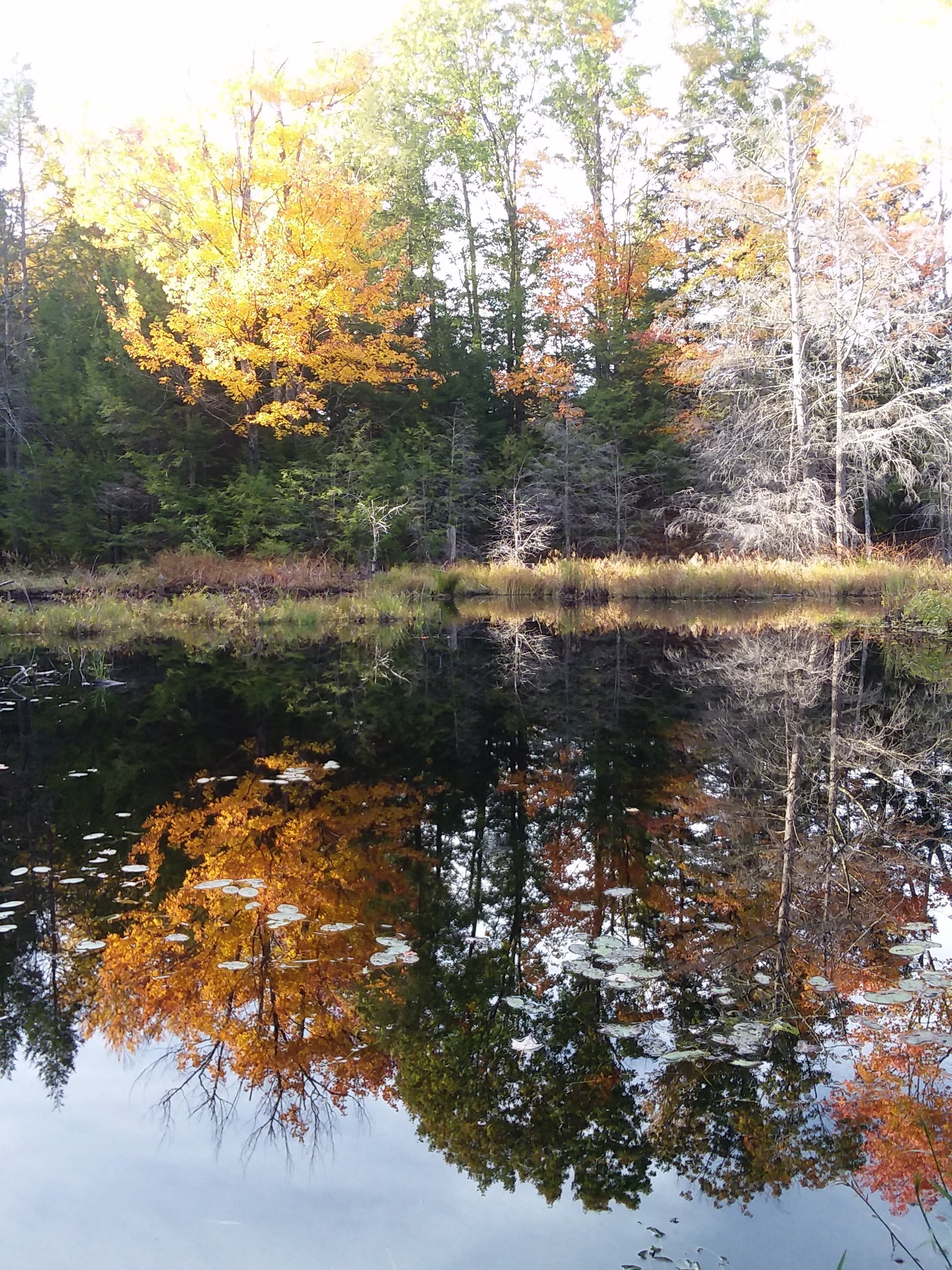
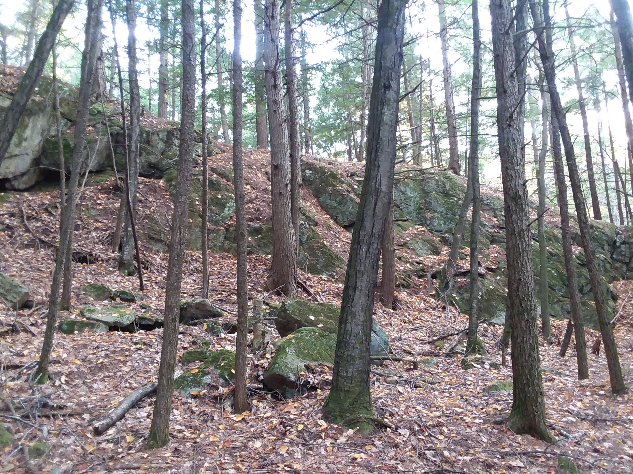
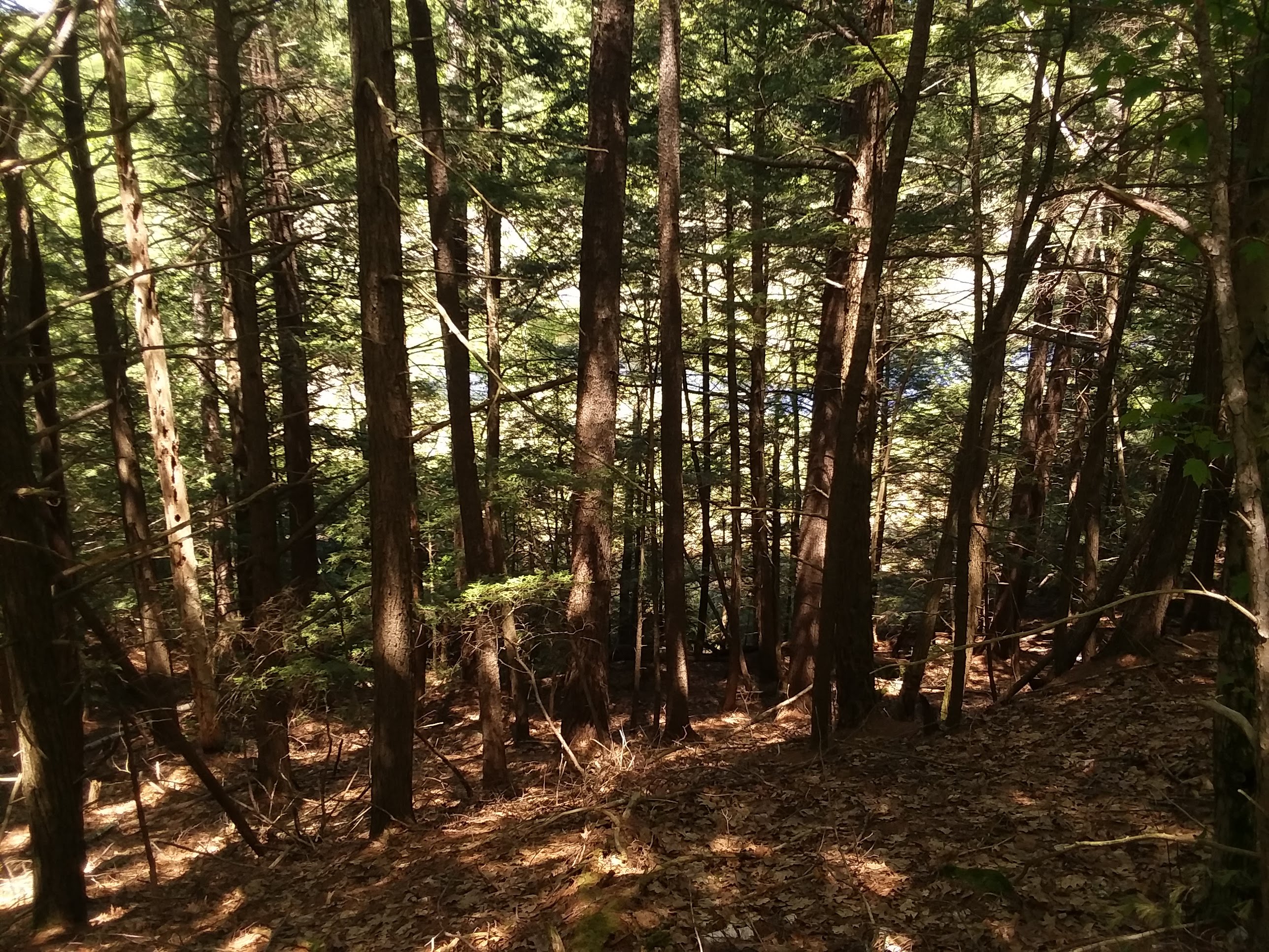 At the highest point, one can see down this steep ridge to a vast marshland in the distance.
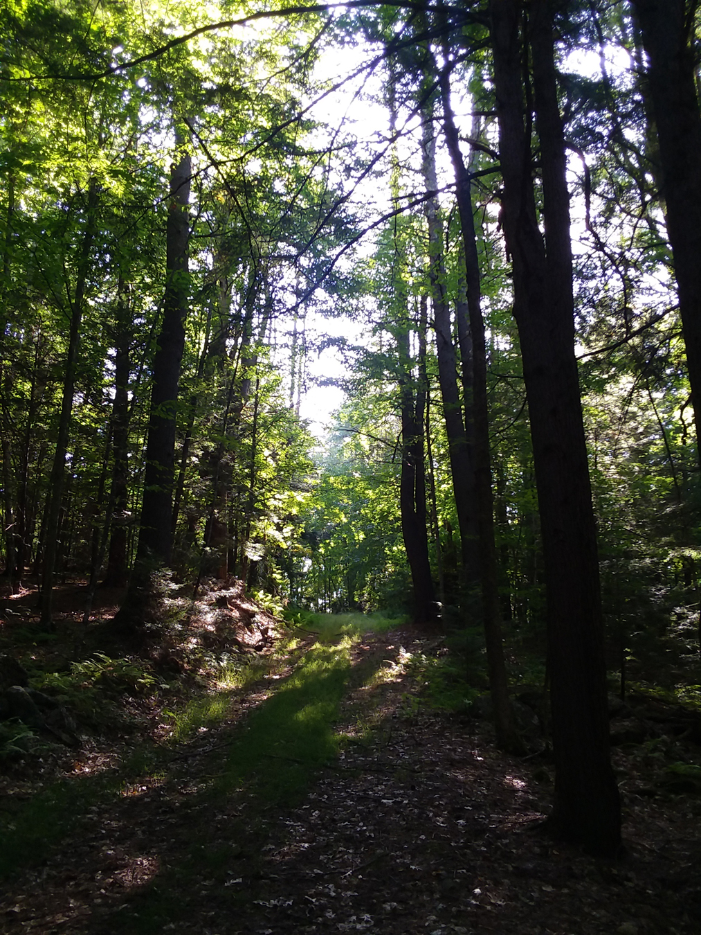
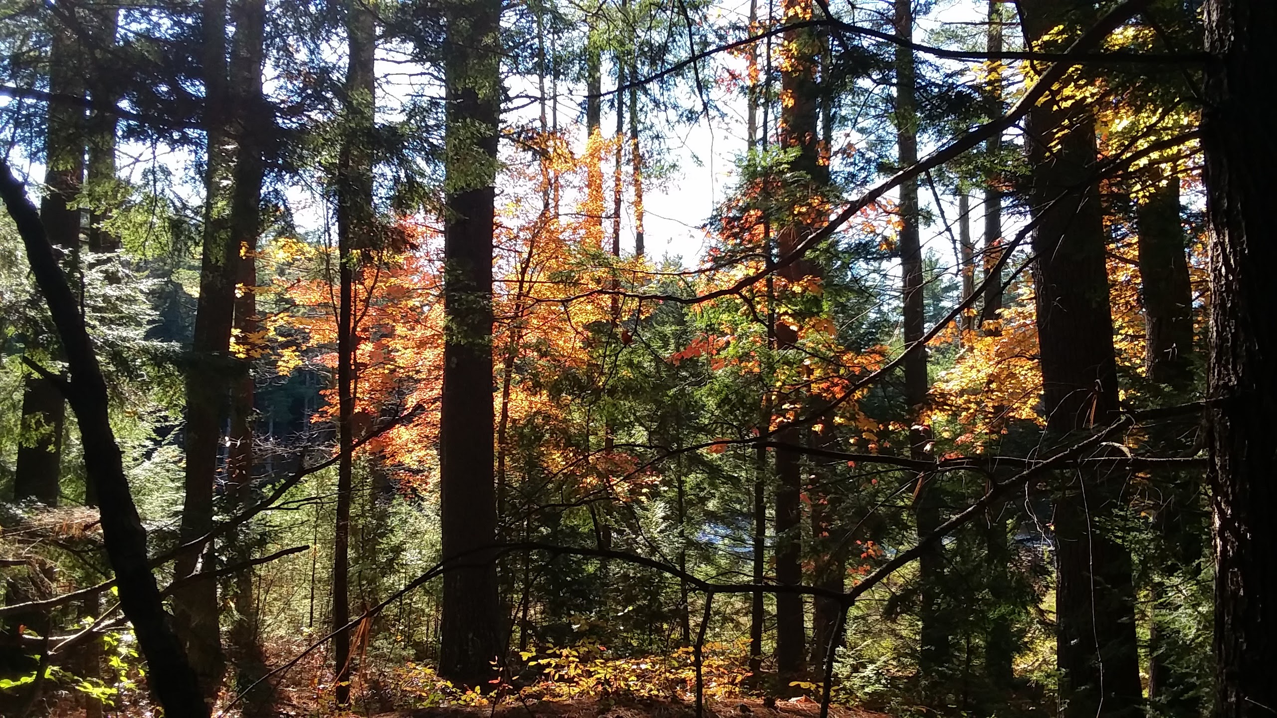
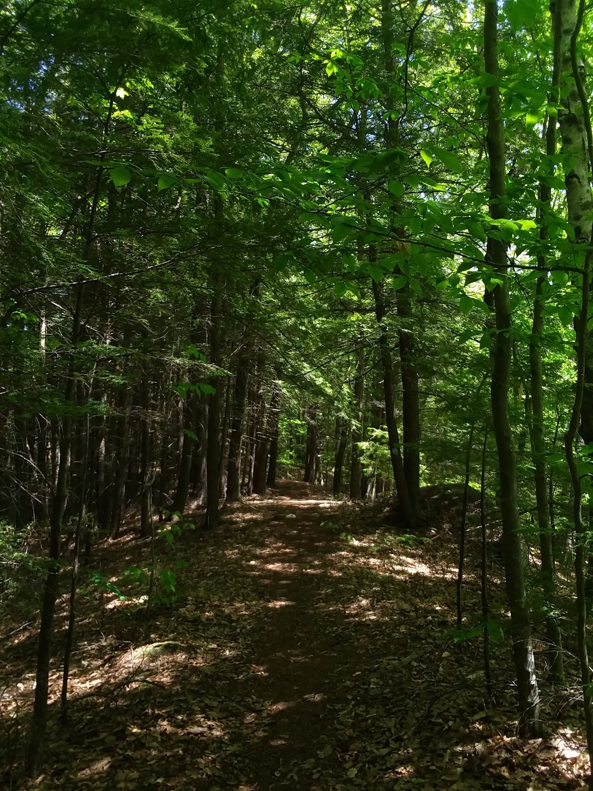
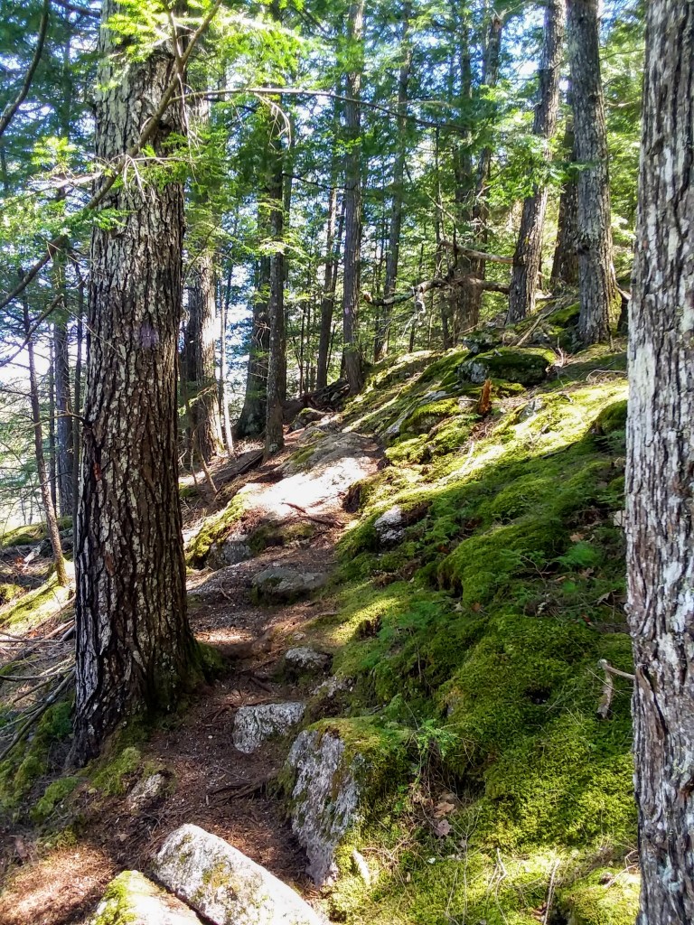
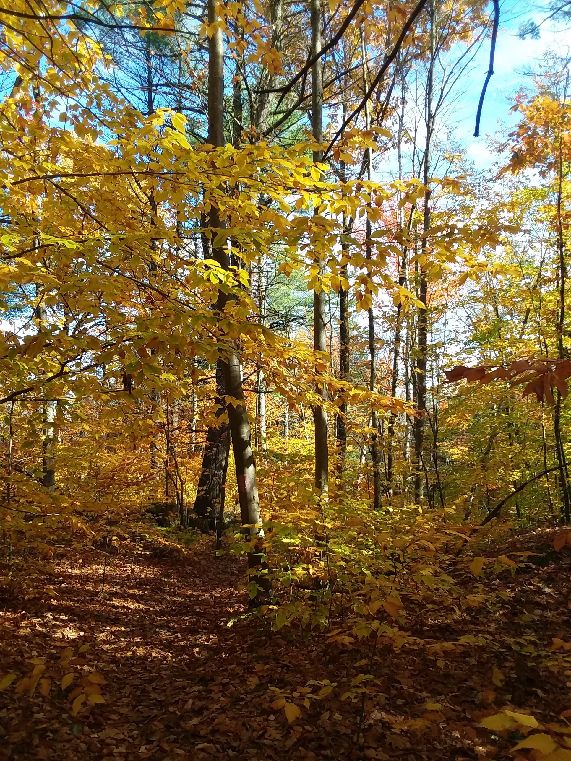
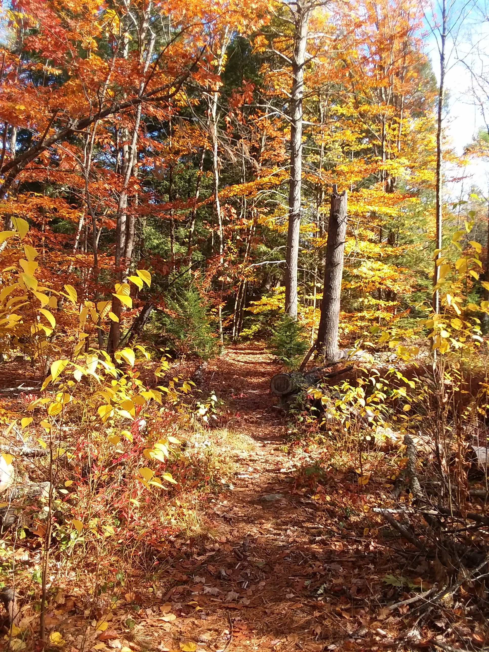
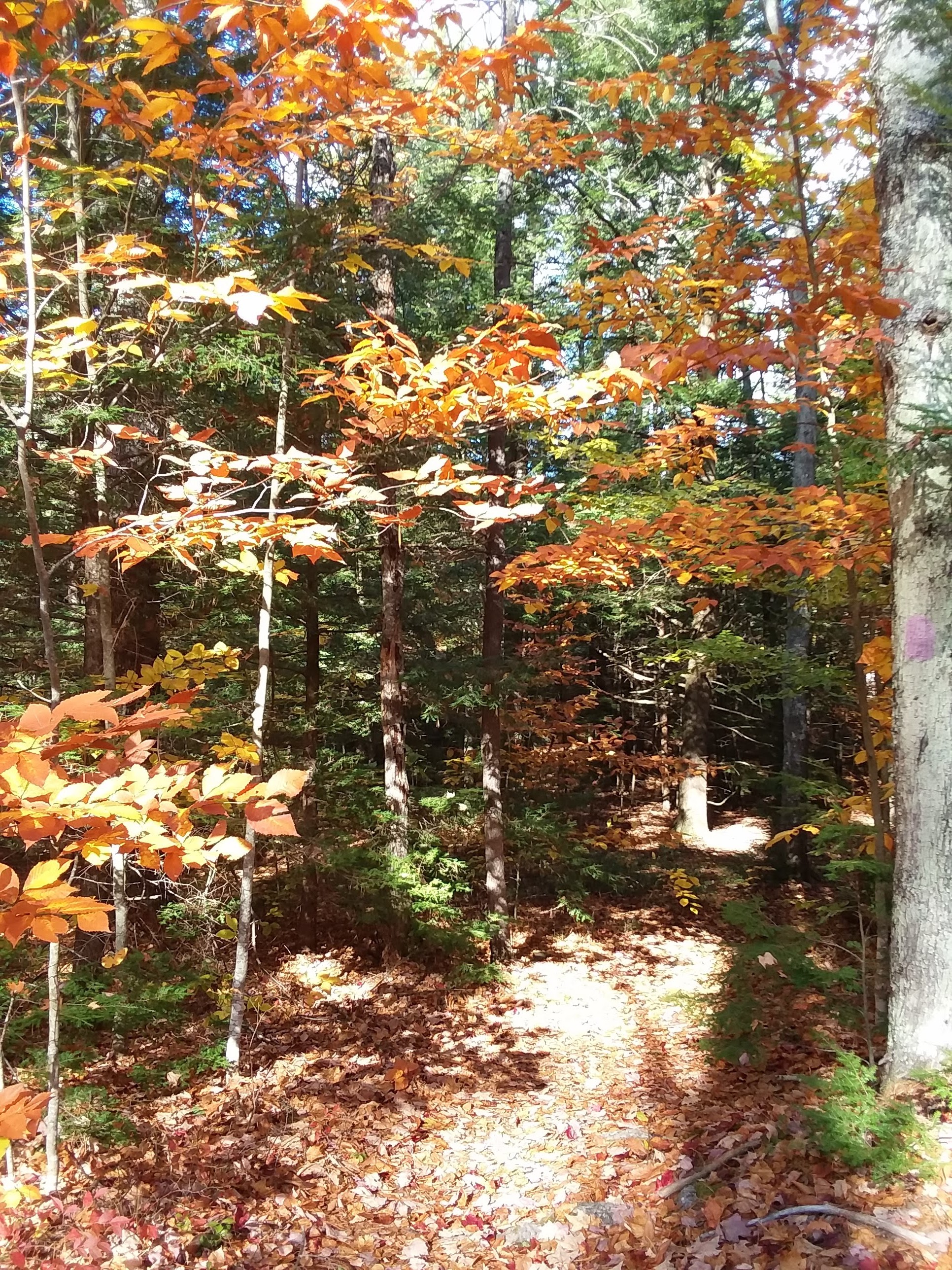
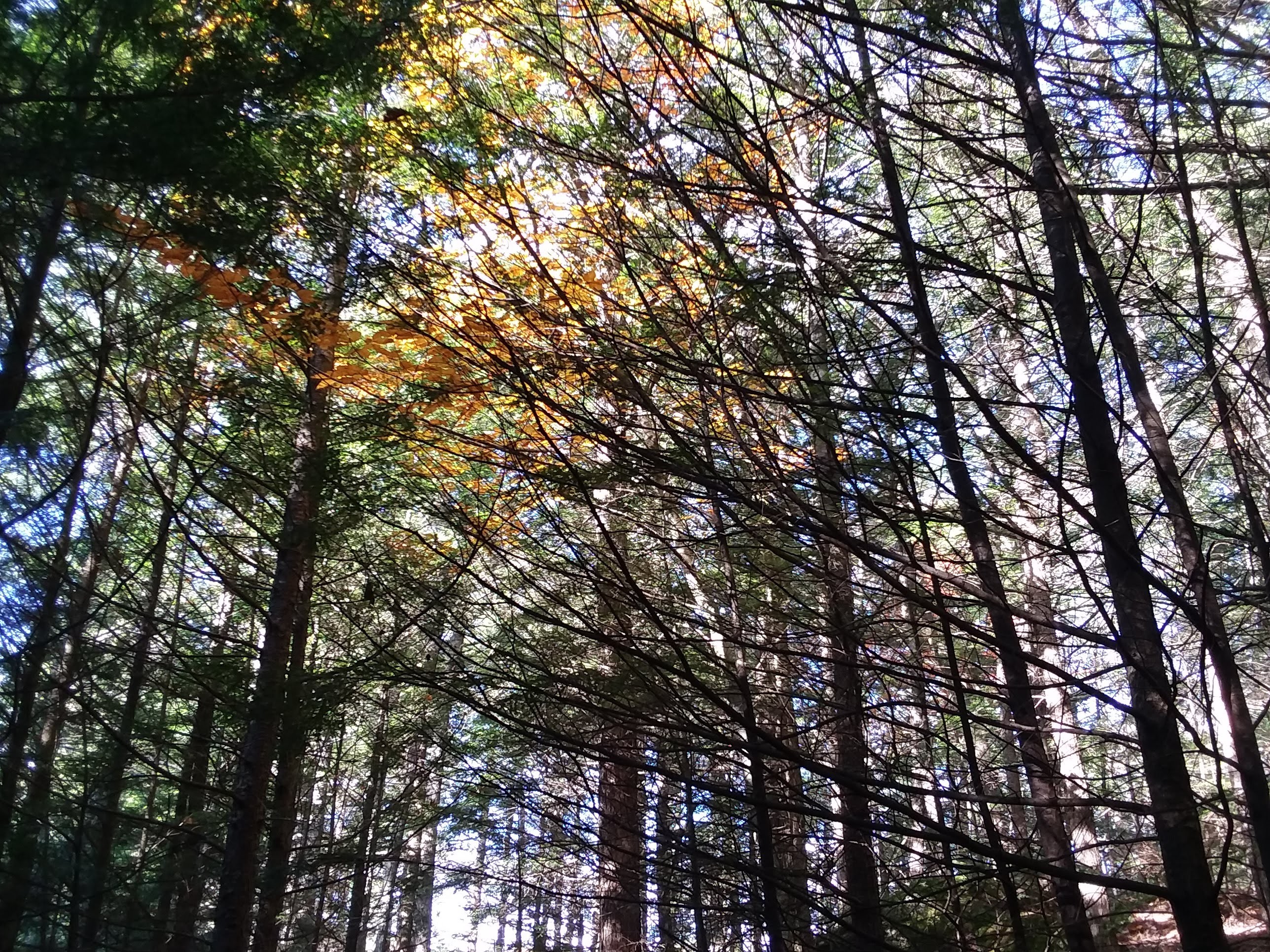
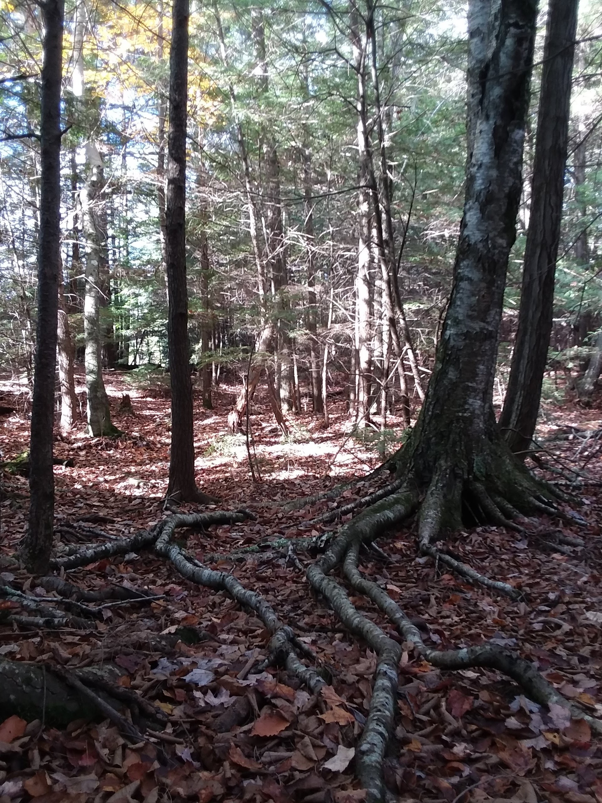
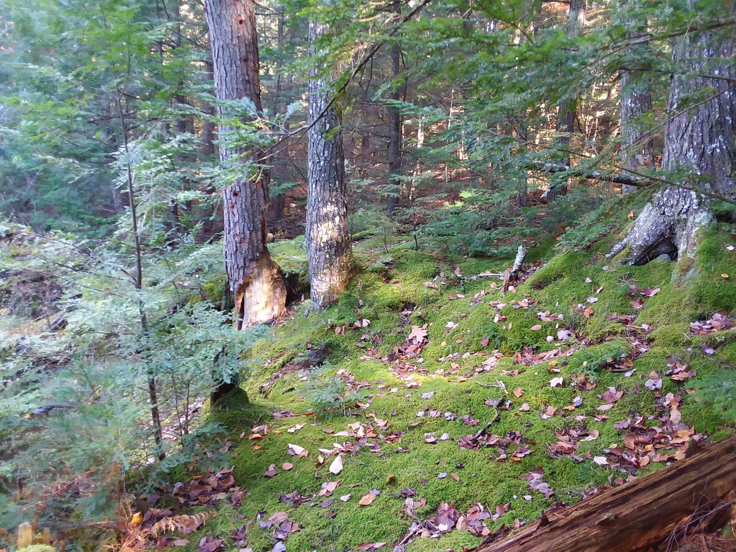
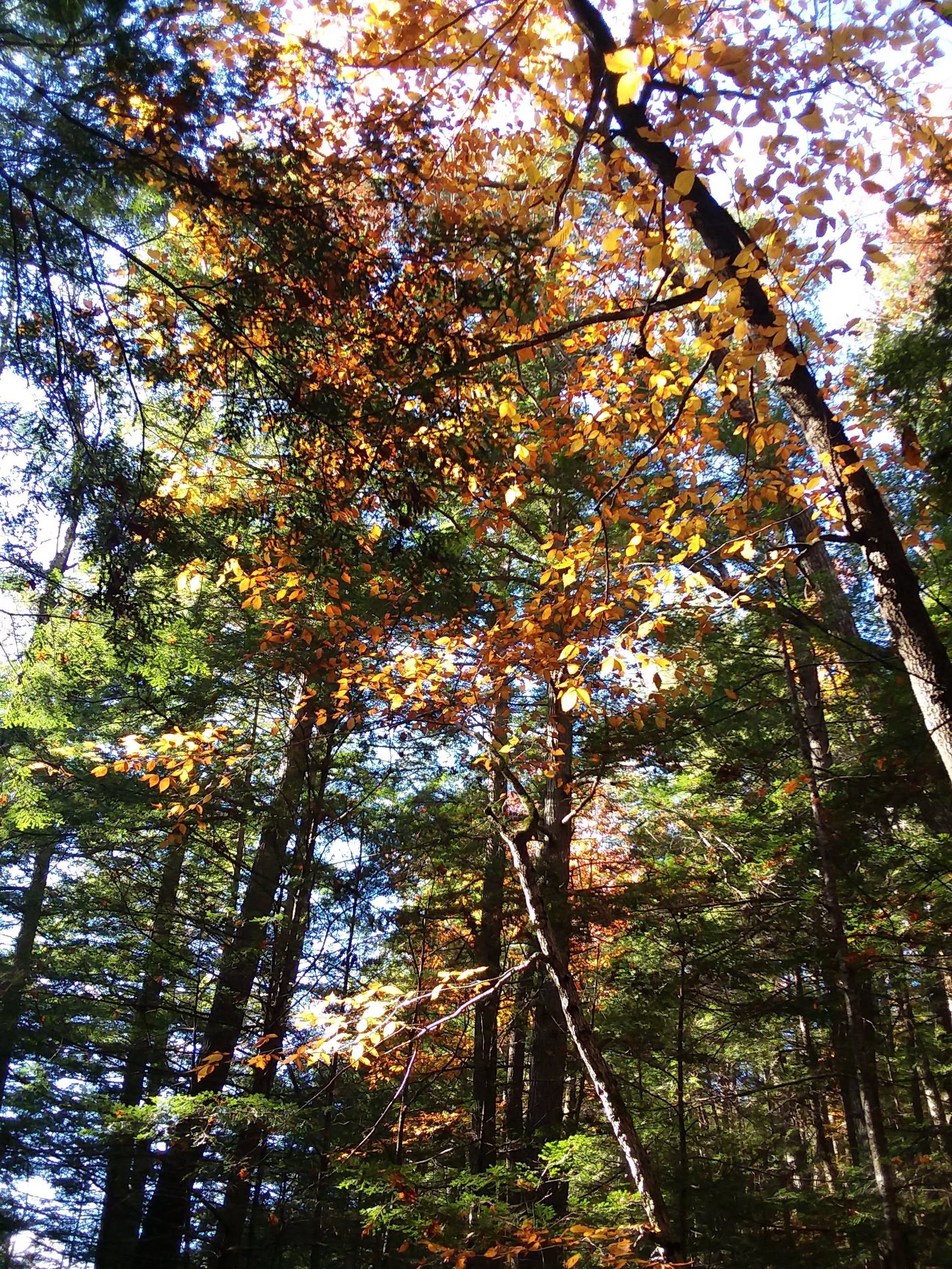
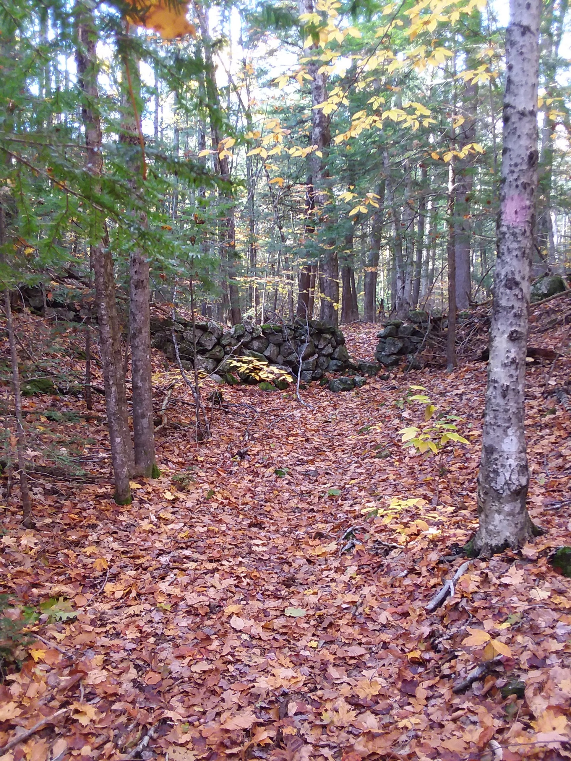
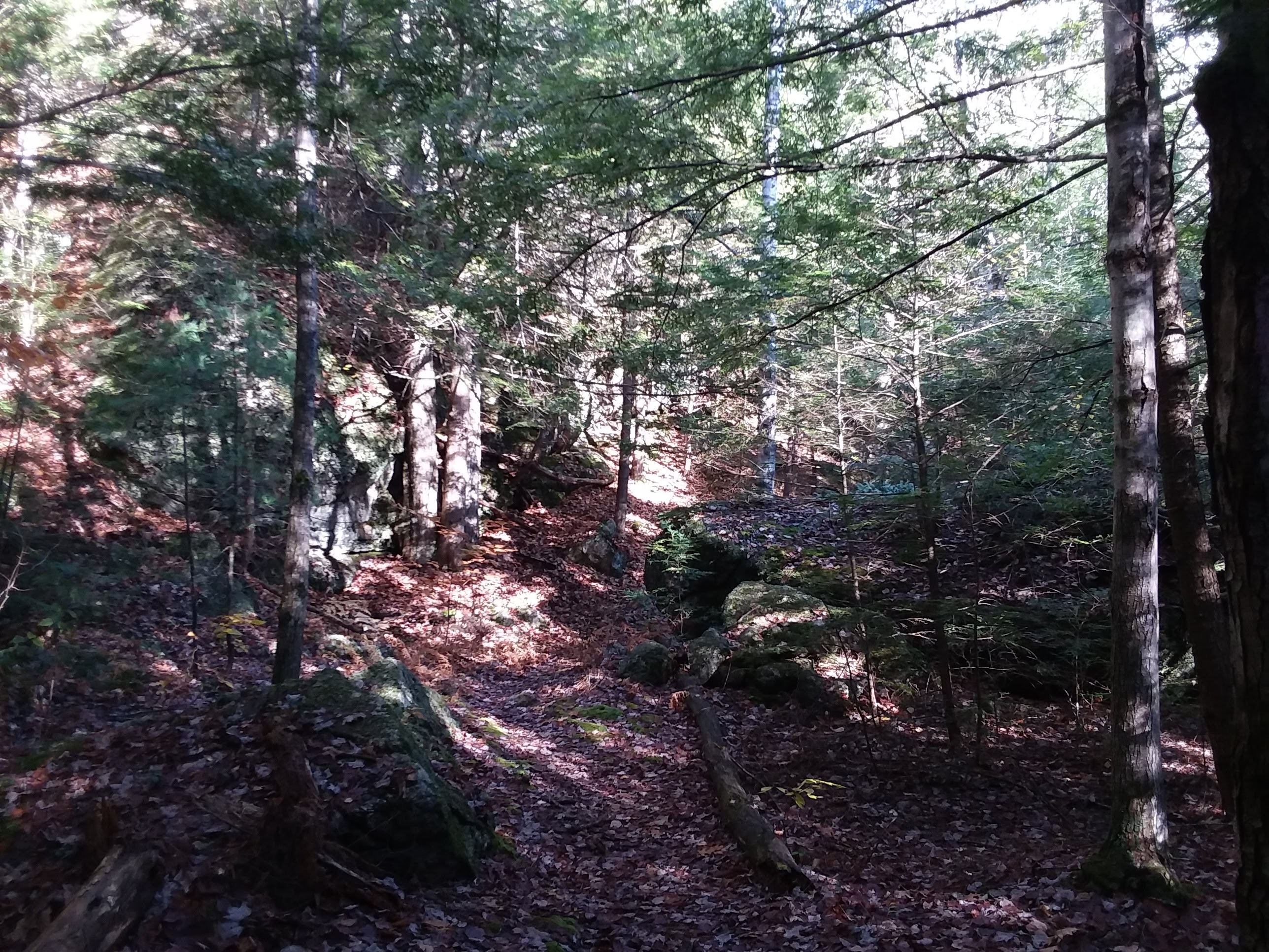
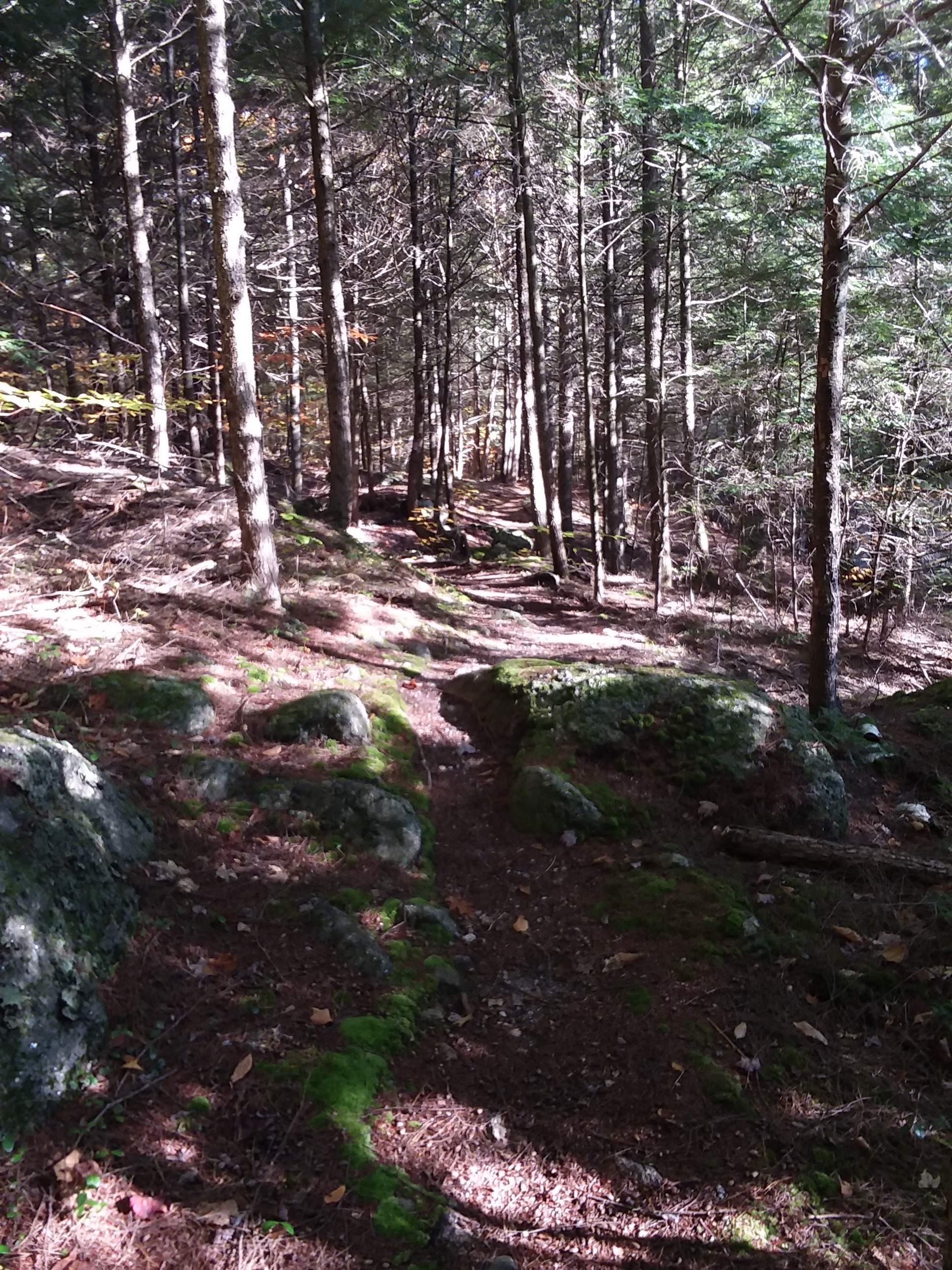
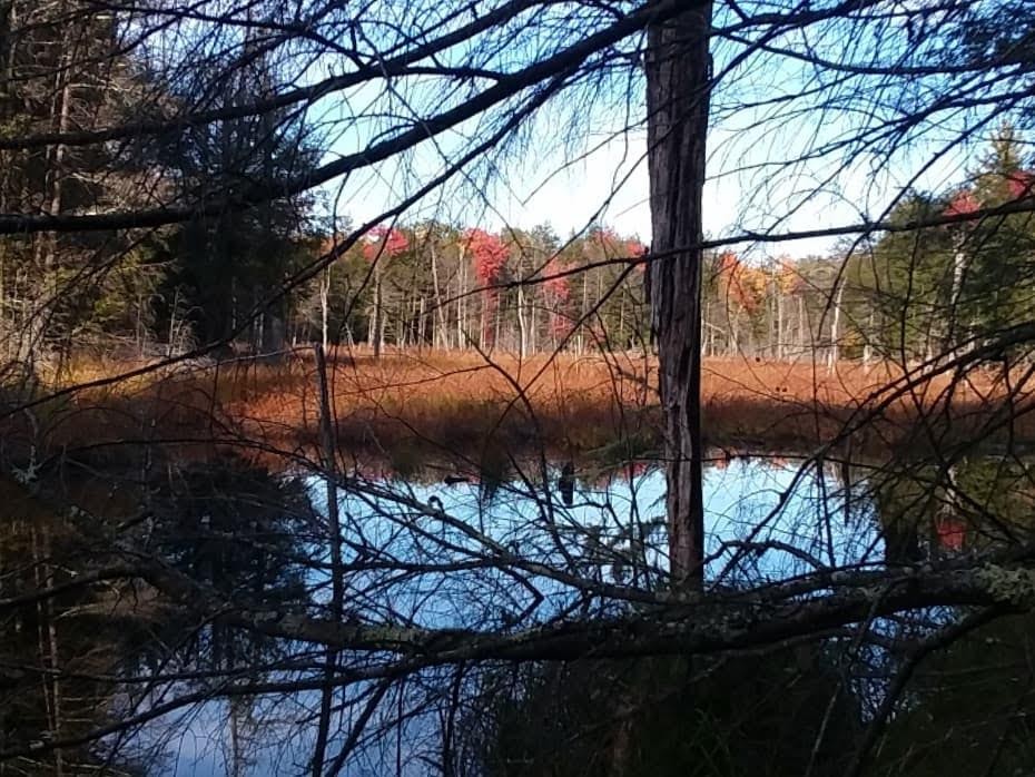
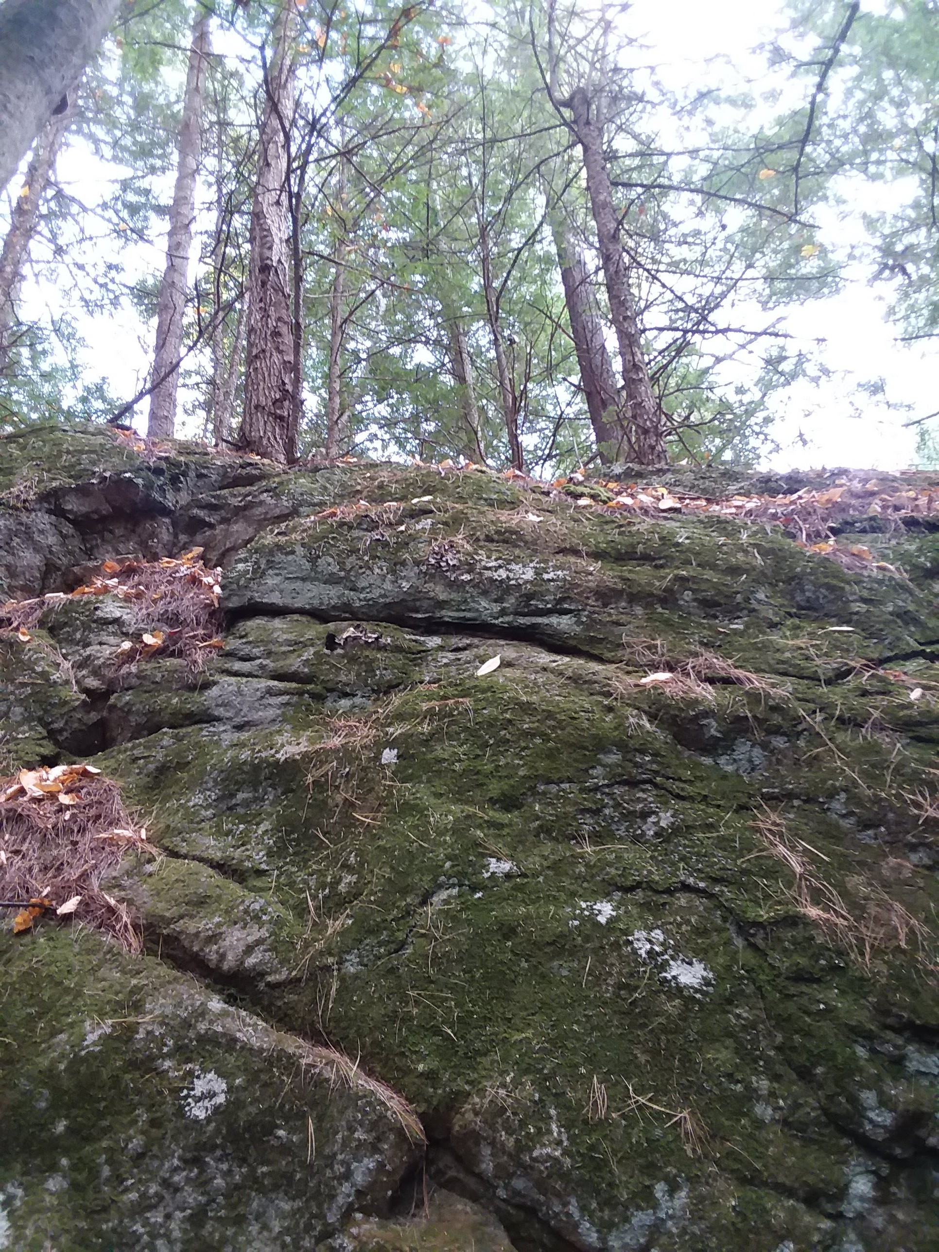
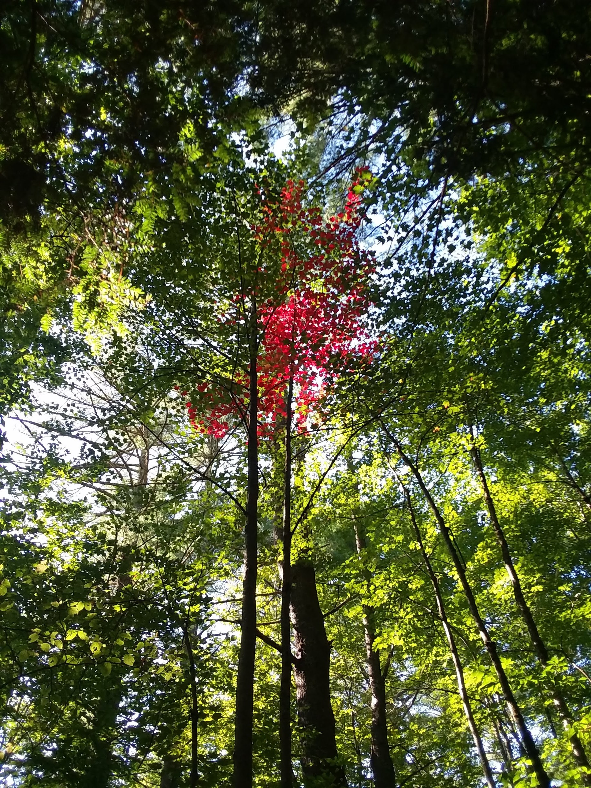
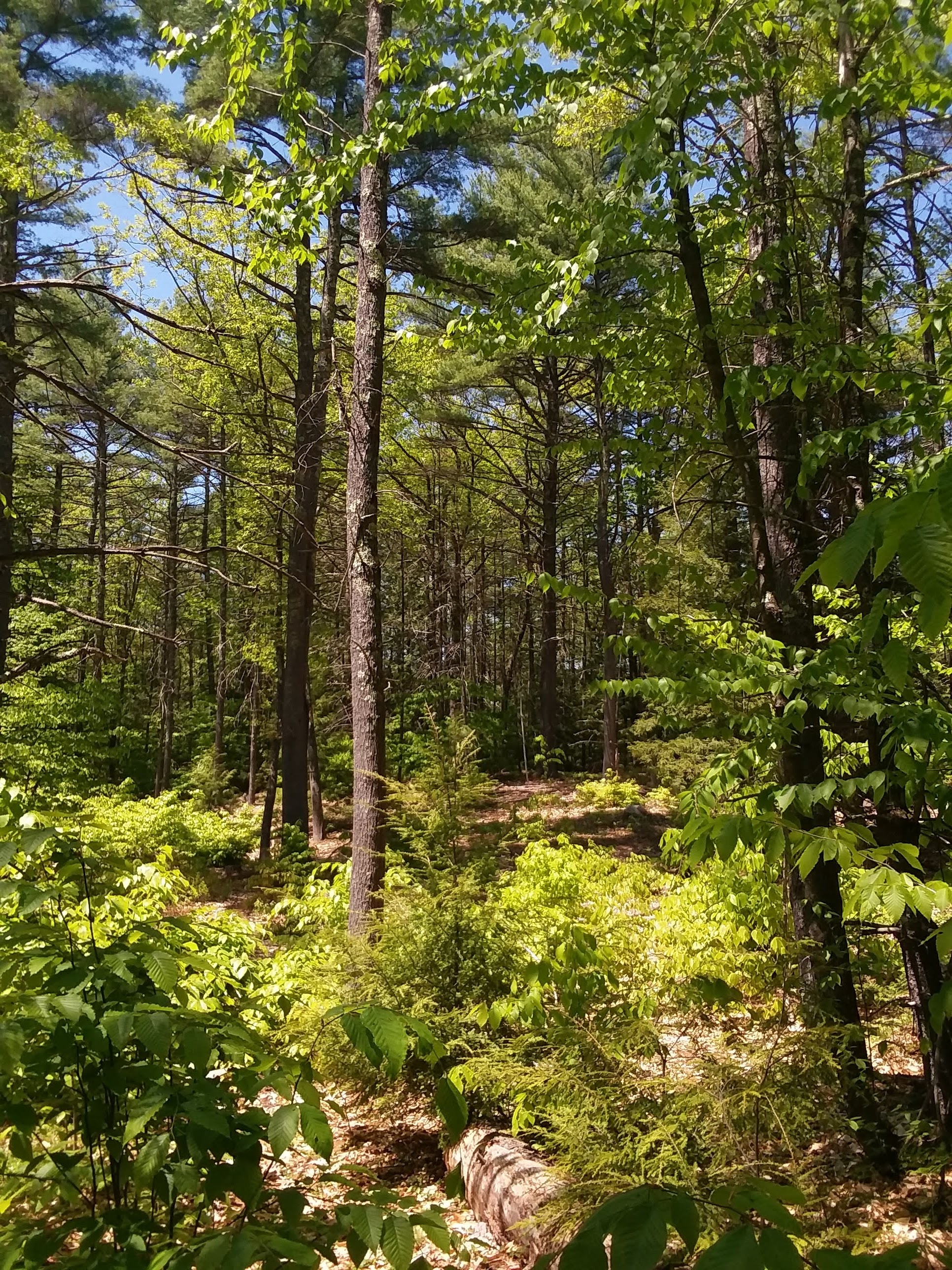 There are lots of sunny patches in this forest due to “skid trails” or wood harvested areas.
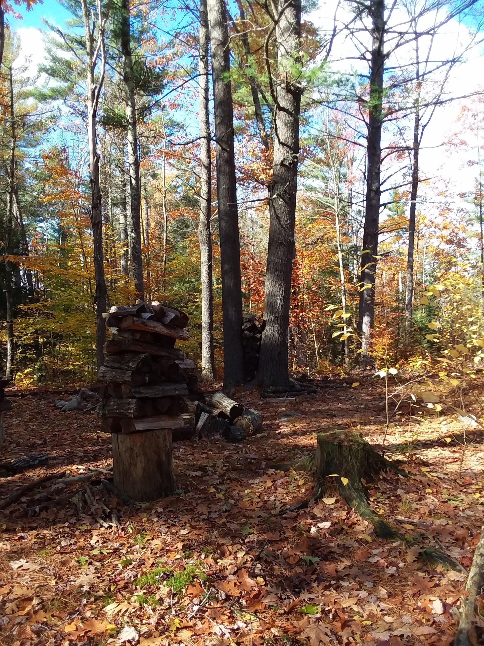
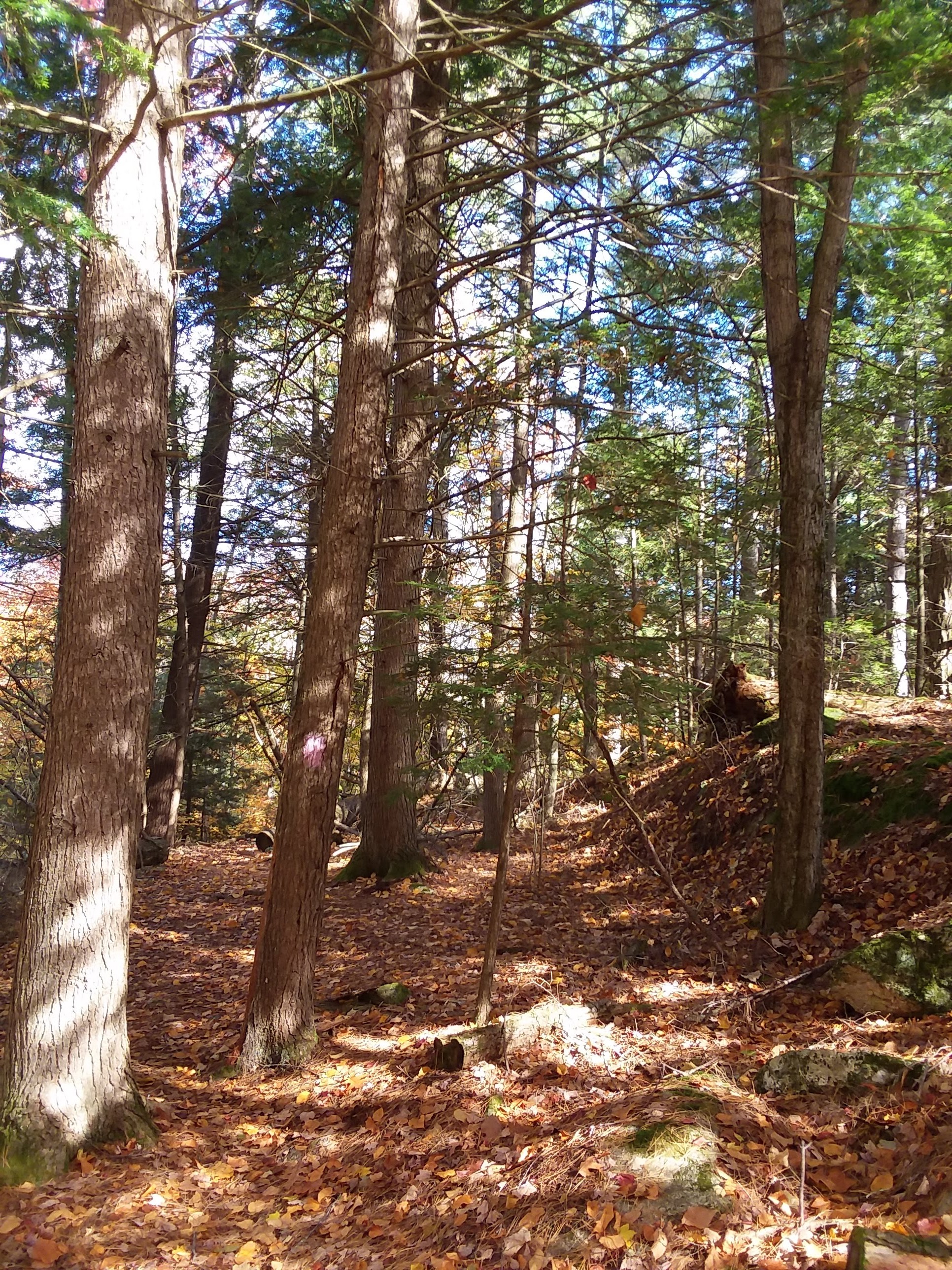
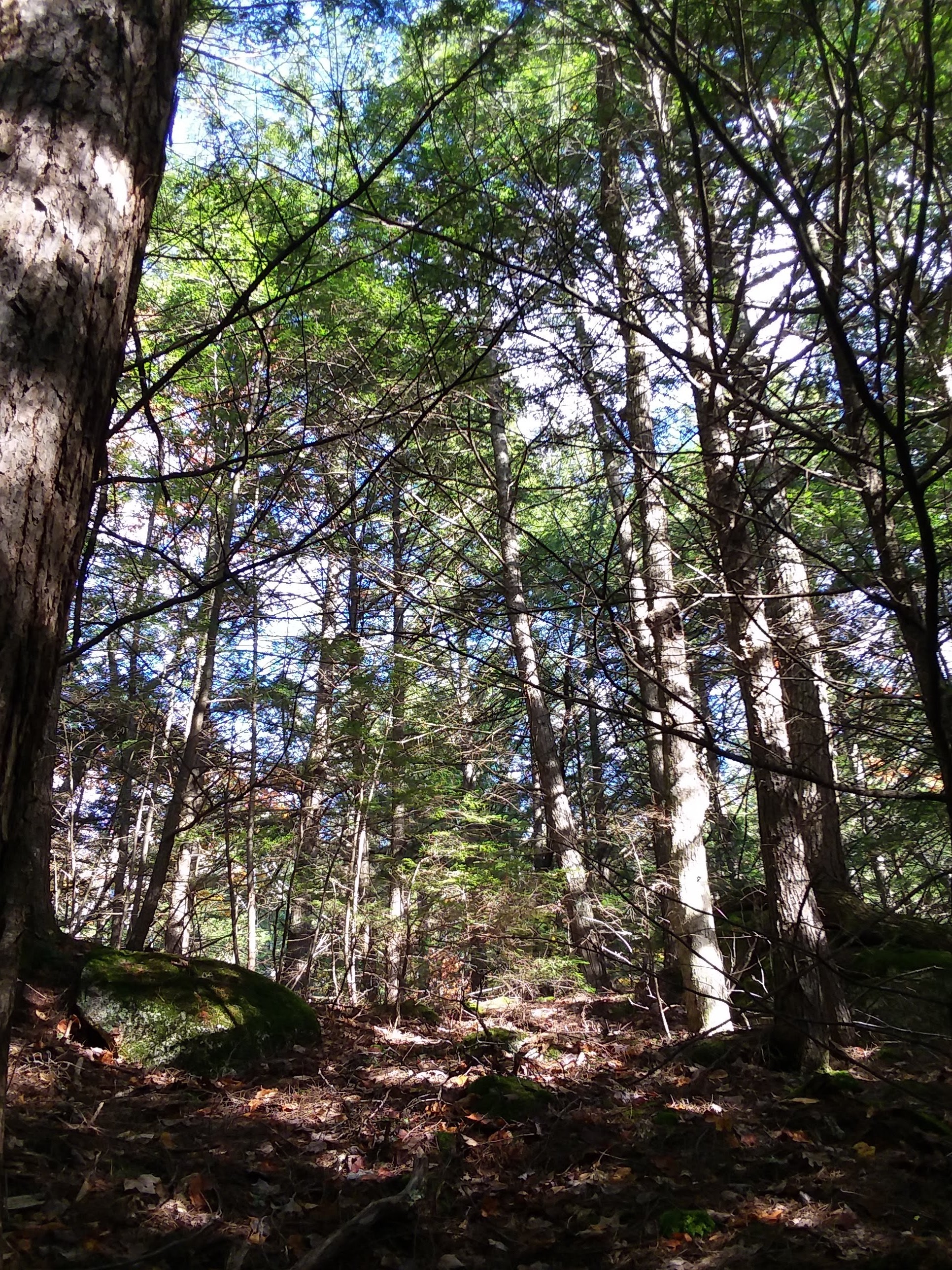
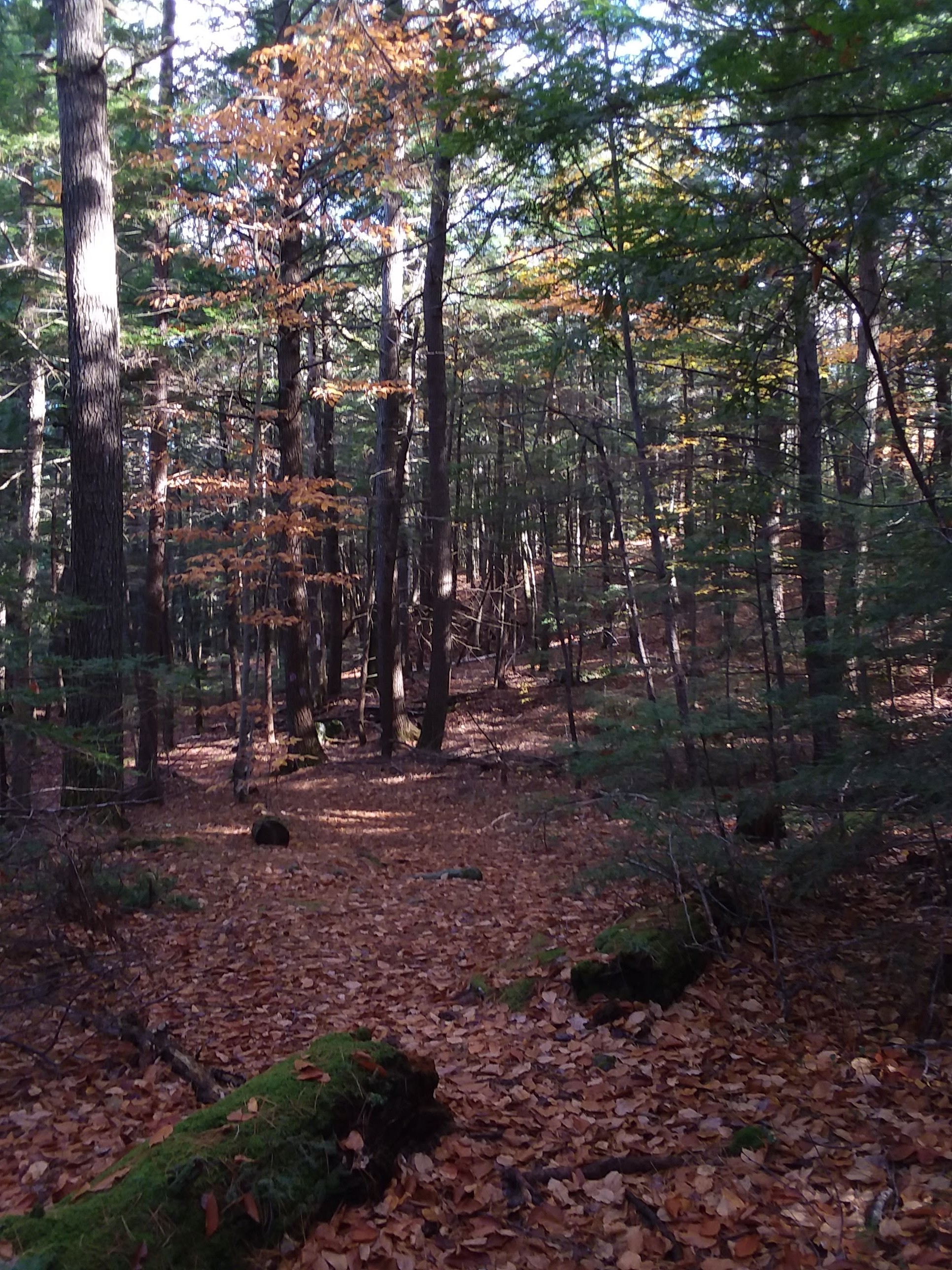
 The last harvest was done in 1990.
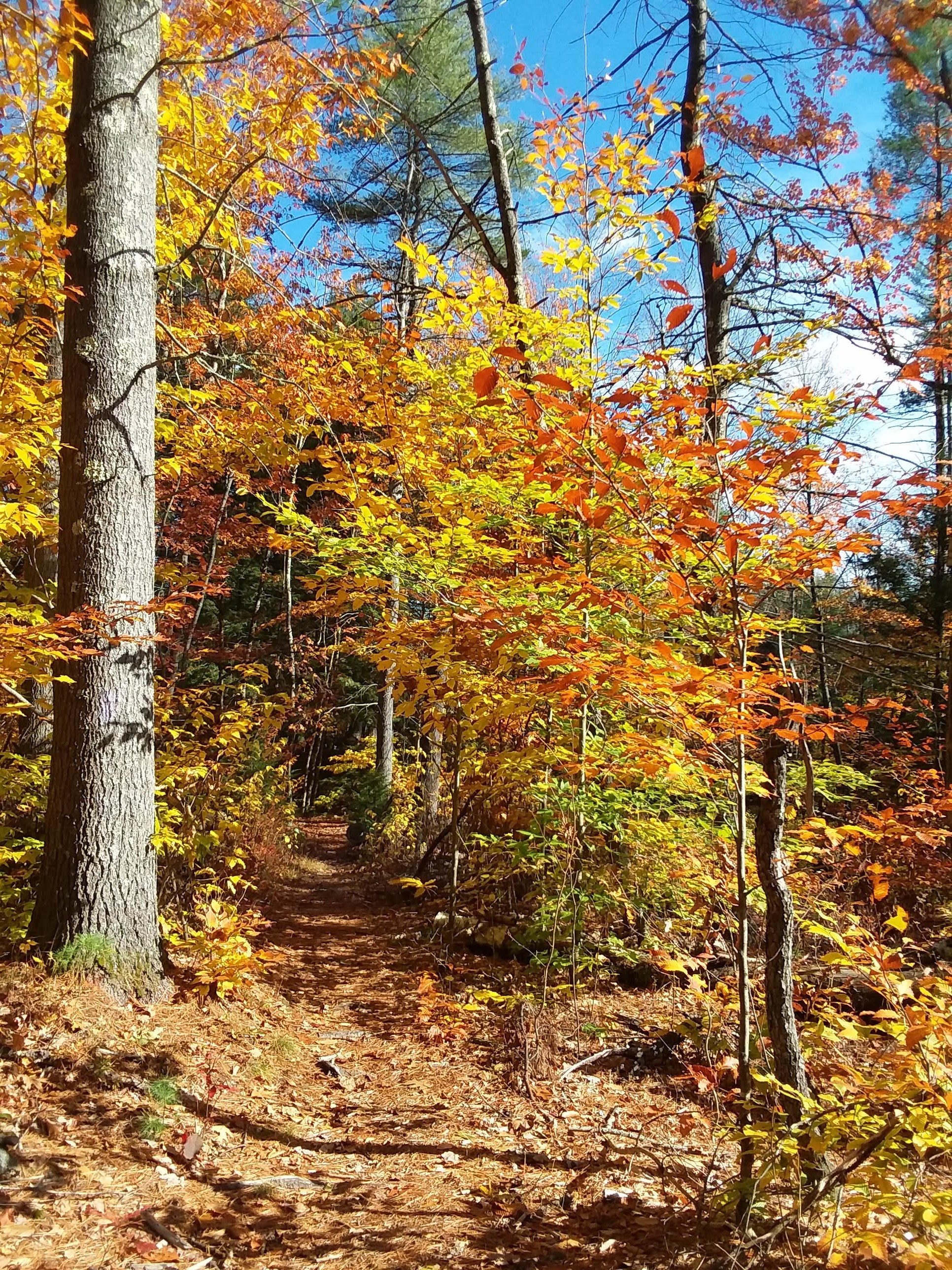
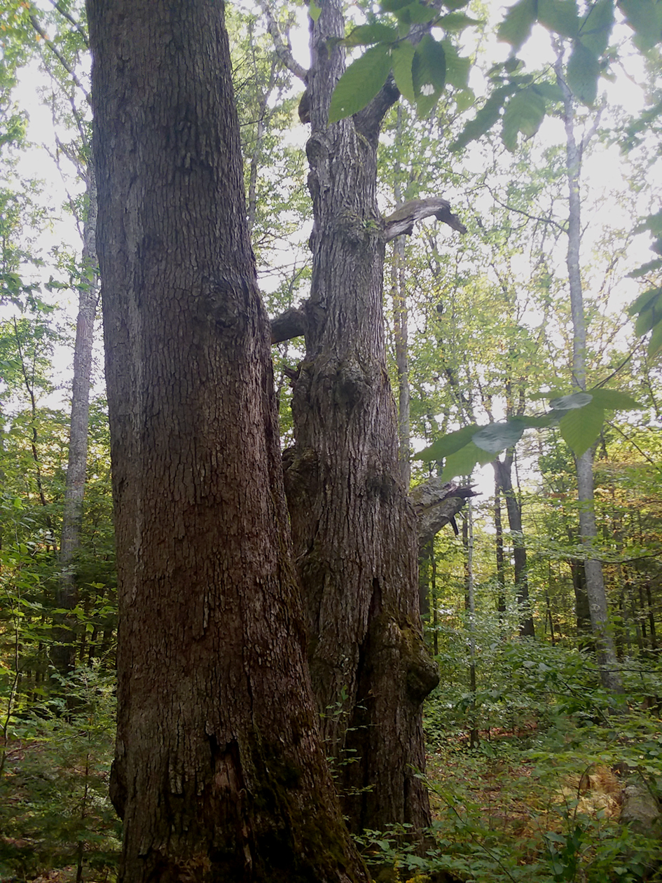
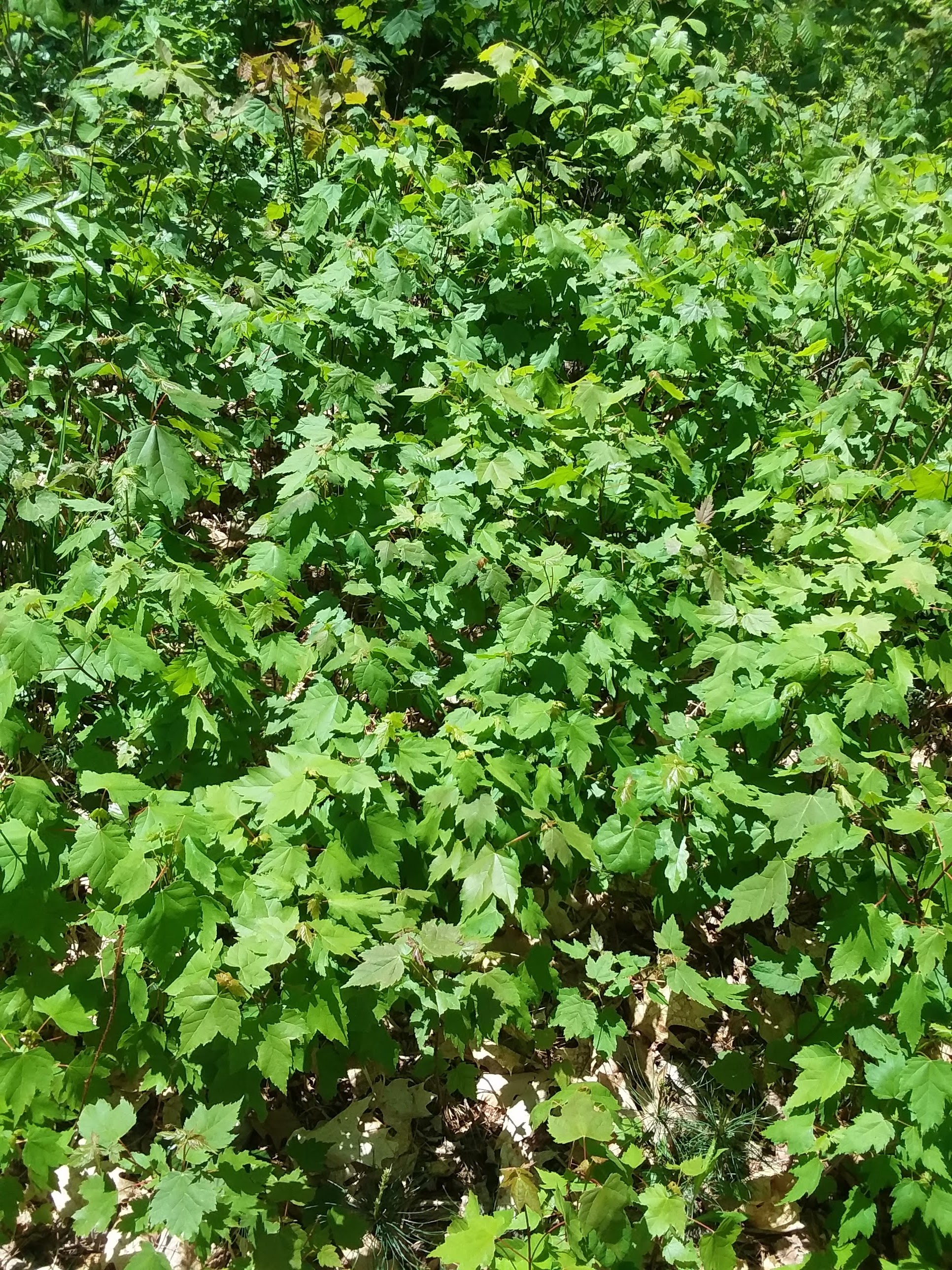 A tightly grouped cluster of young maples along the path.
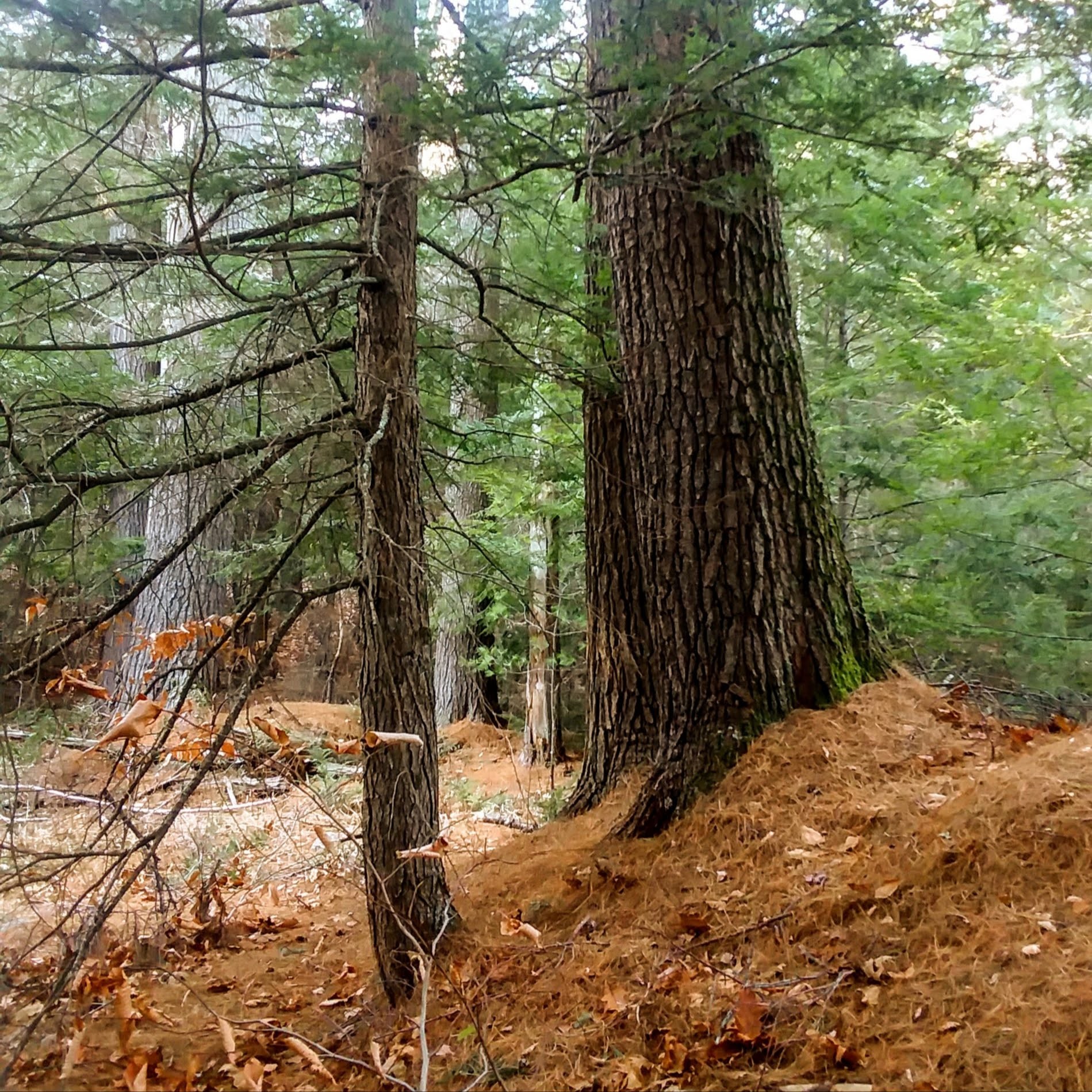
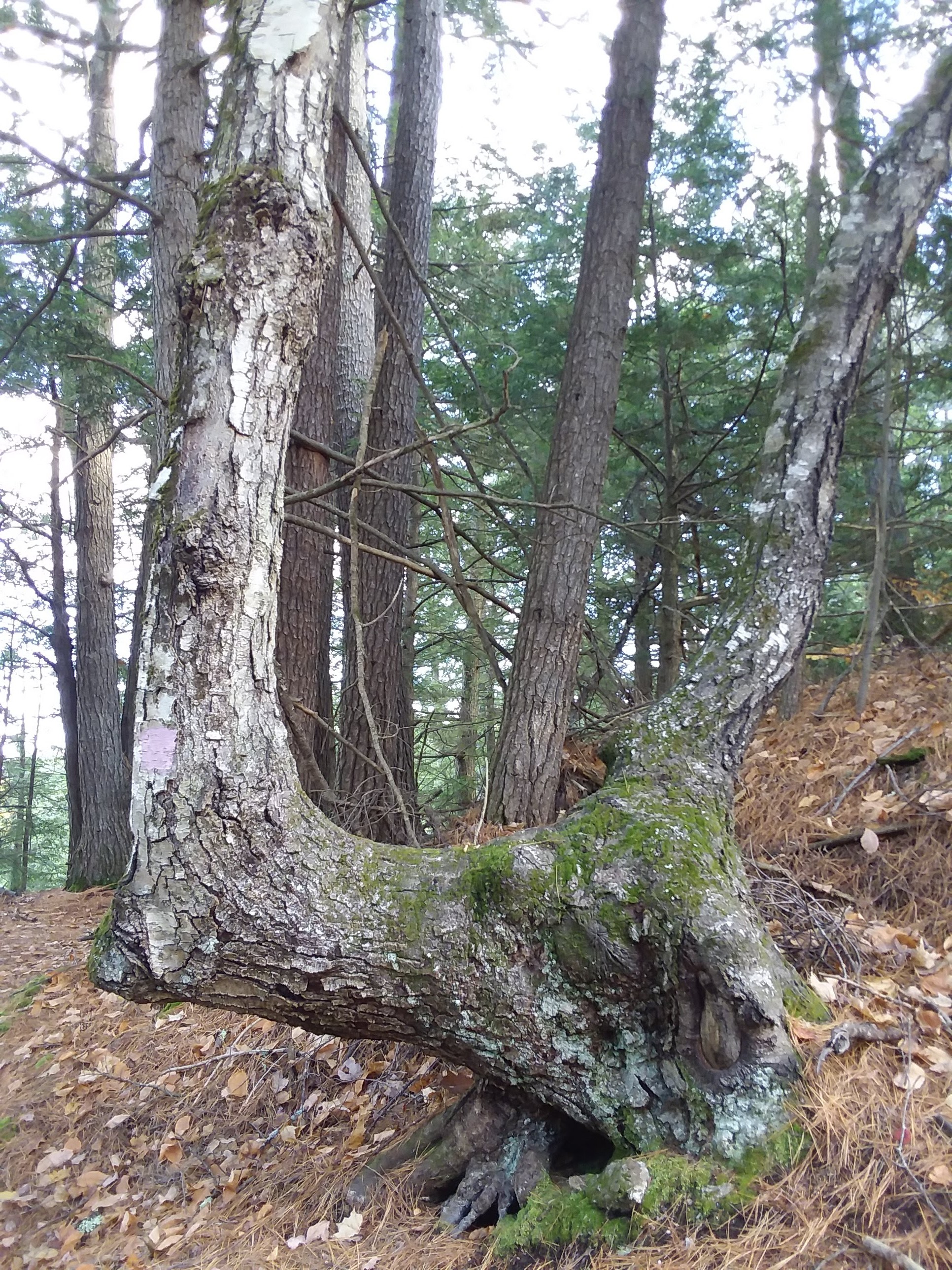
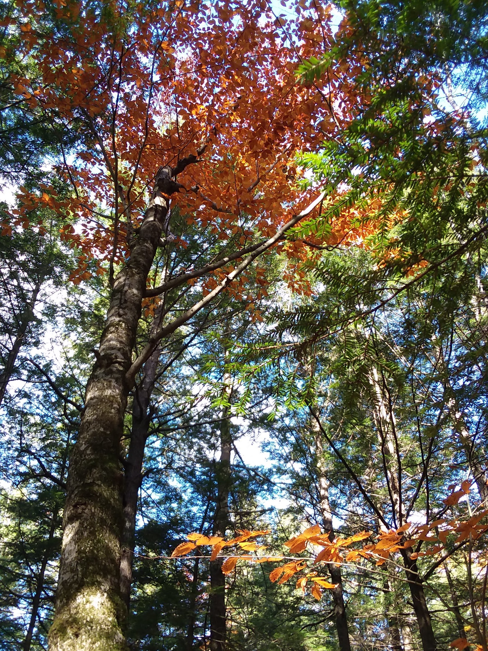
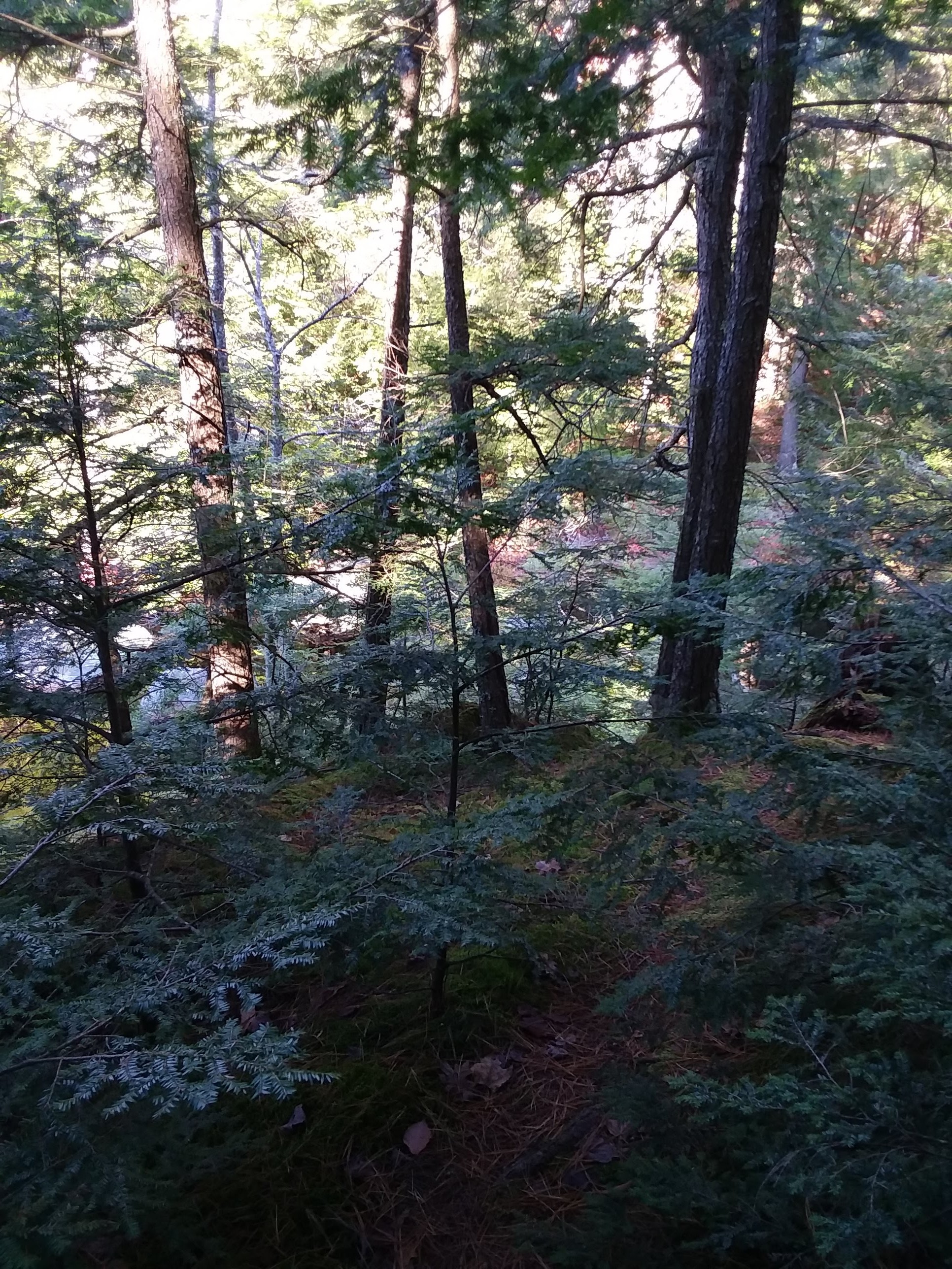
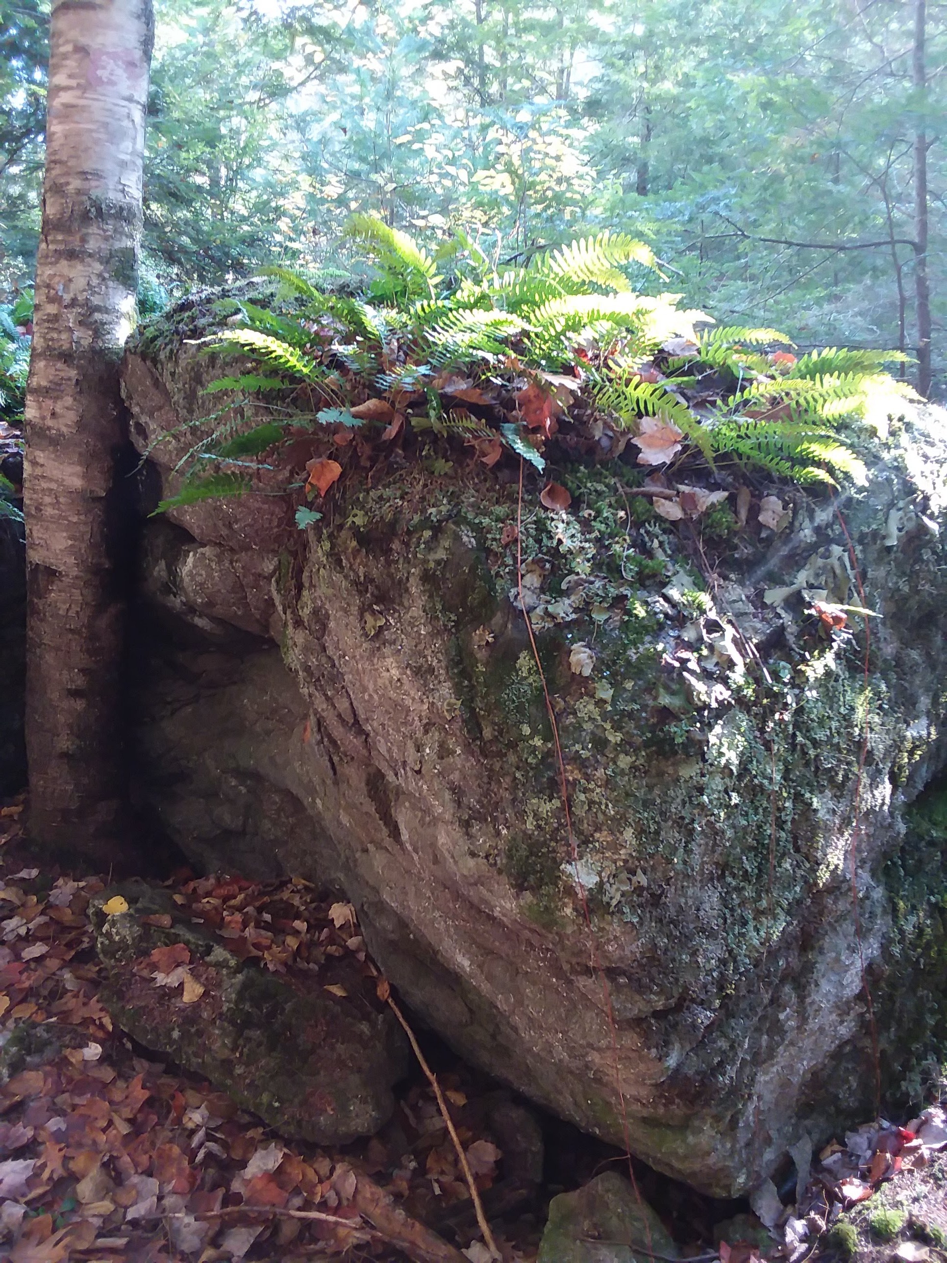
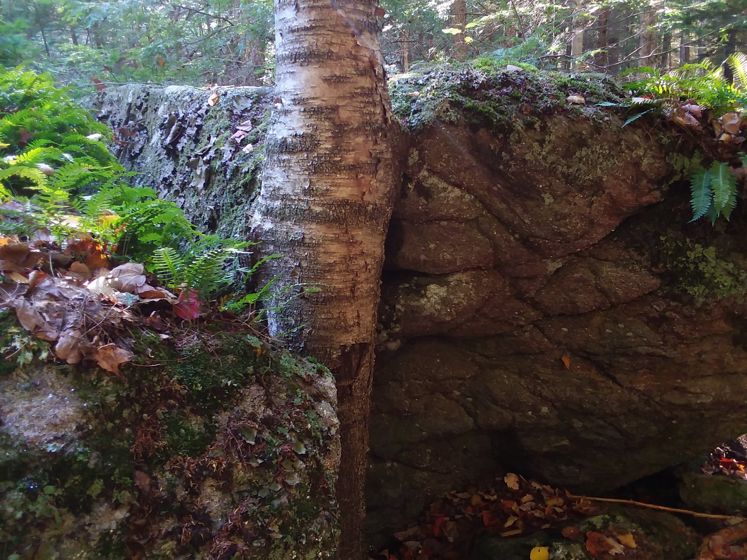
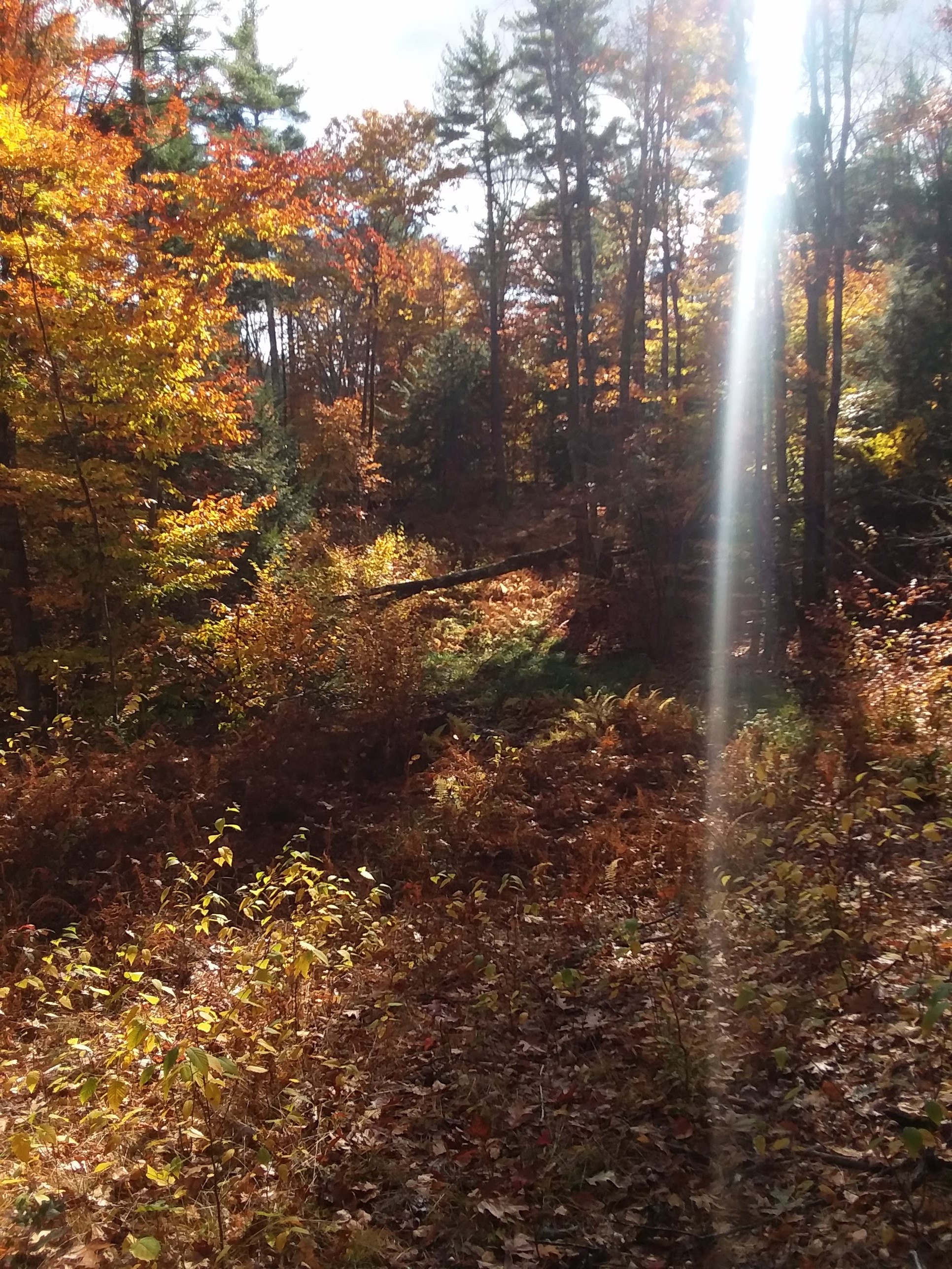
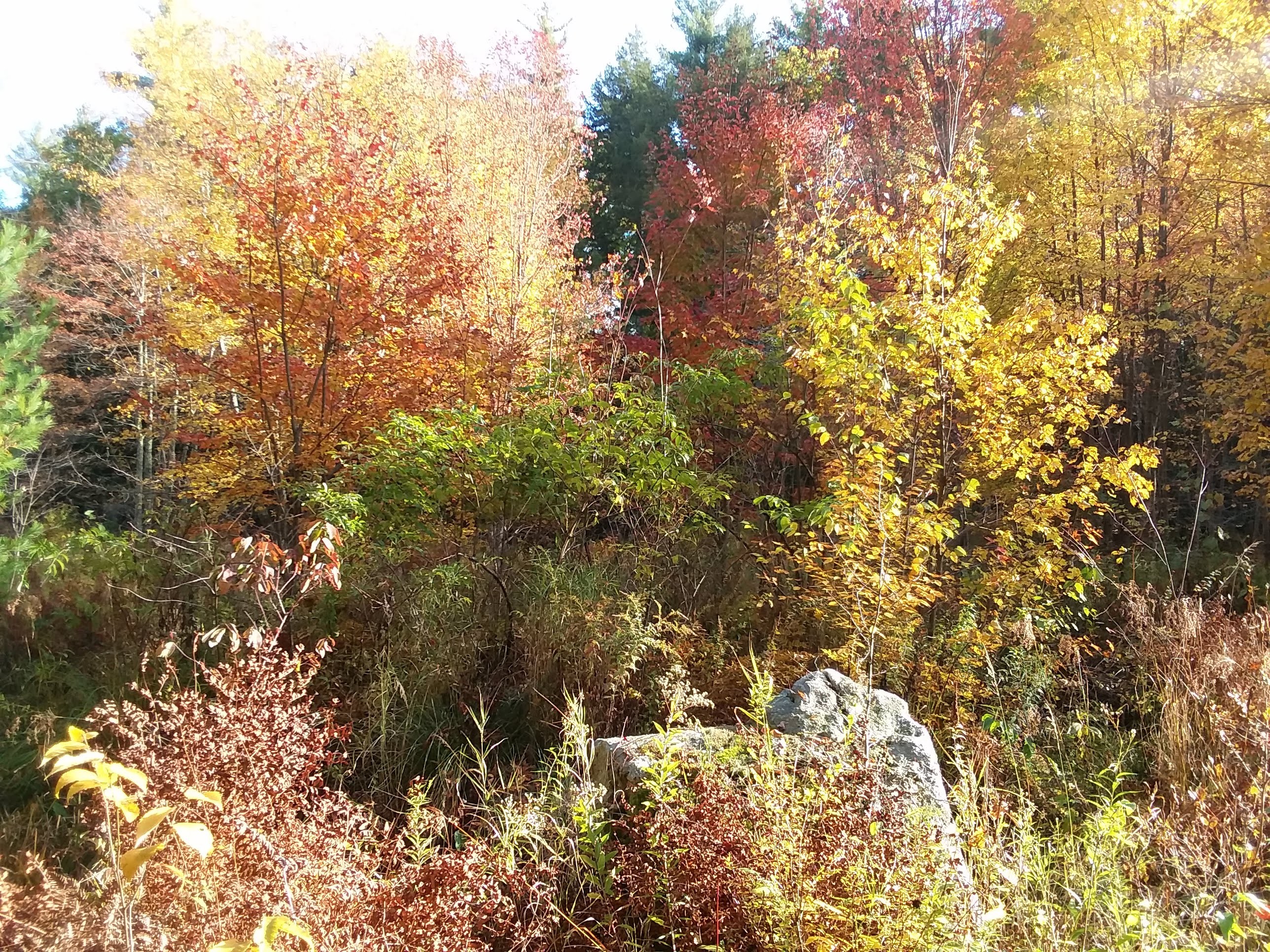
 Some of the vegetation includes poisonous sumac and a rare colony of rhododendron native to North America.
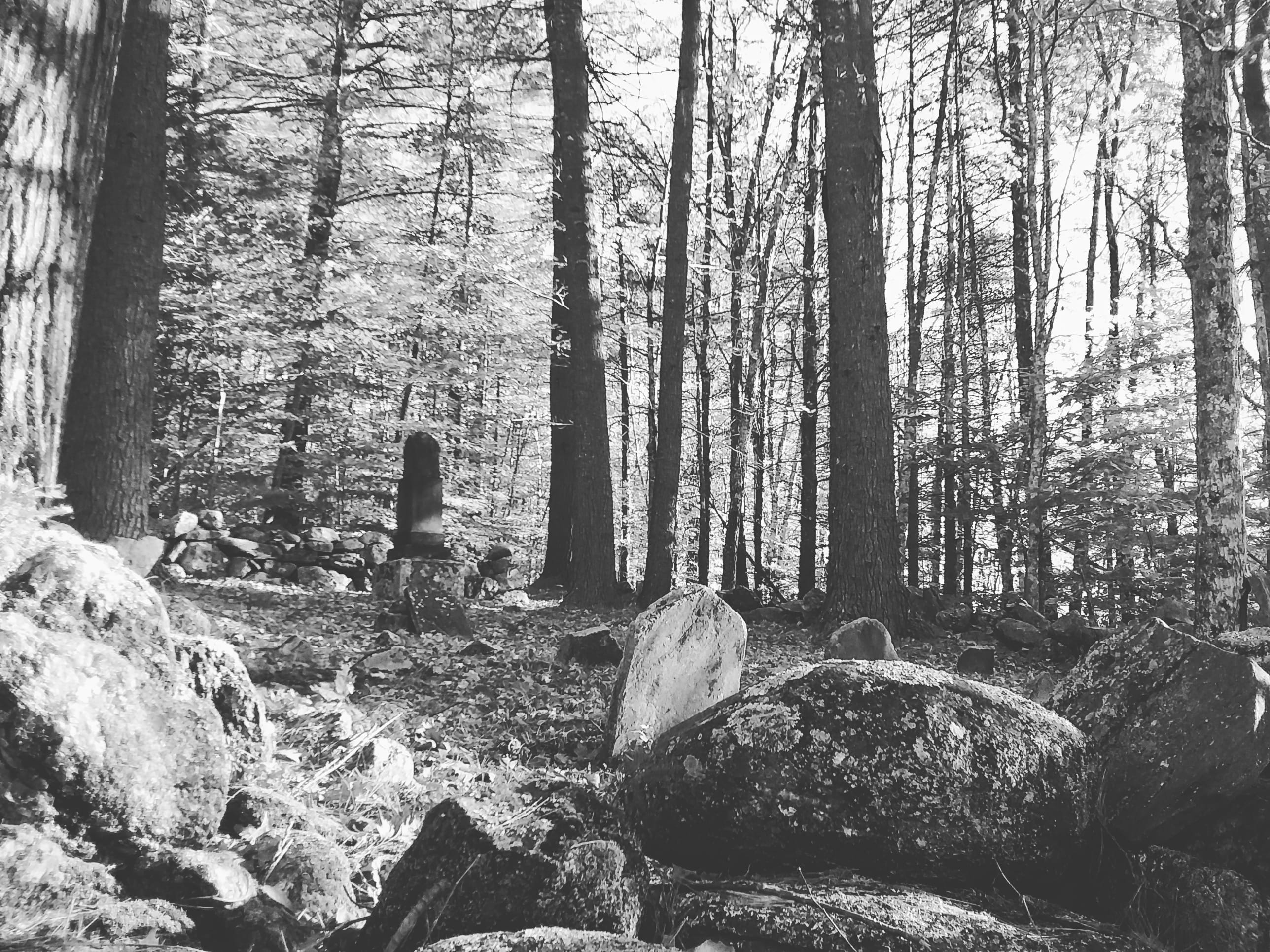
In 1983, a man by the name of Gilbert Knowles offered the Dowst-Cate Town Forest to the public. He wrote to the officials saying, “I have always had a warm place in my heart for Deerfield (and) I would be happy to do something for Deerfield.” His wishes were that this property be used as a “town forest and park”.
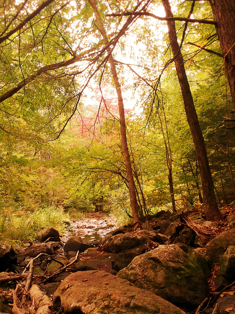
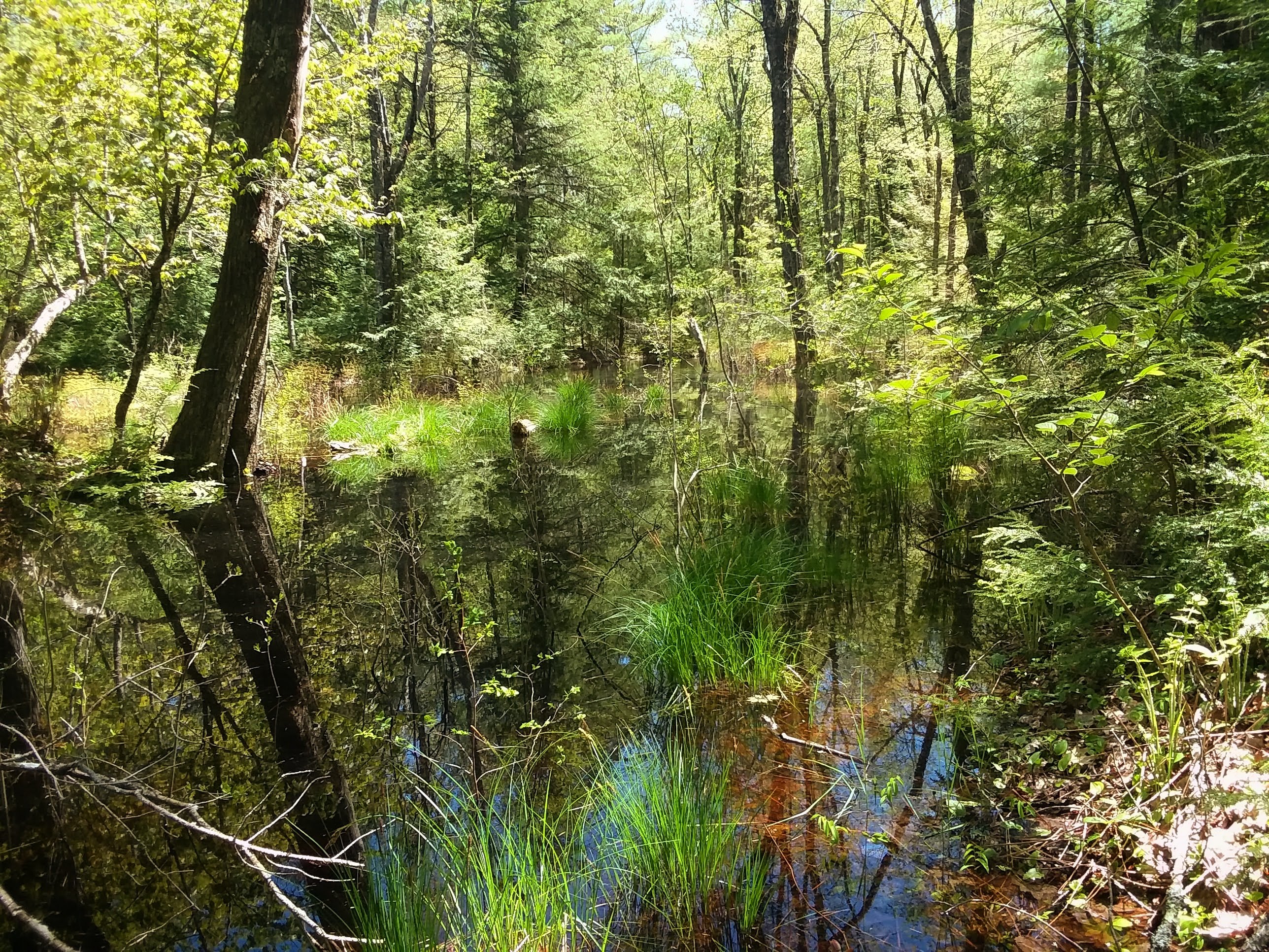
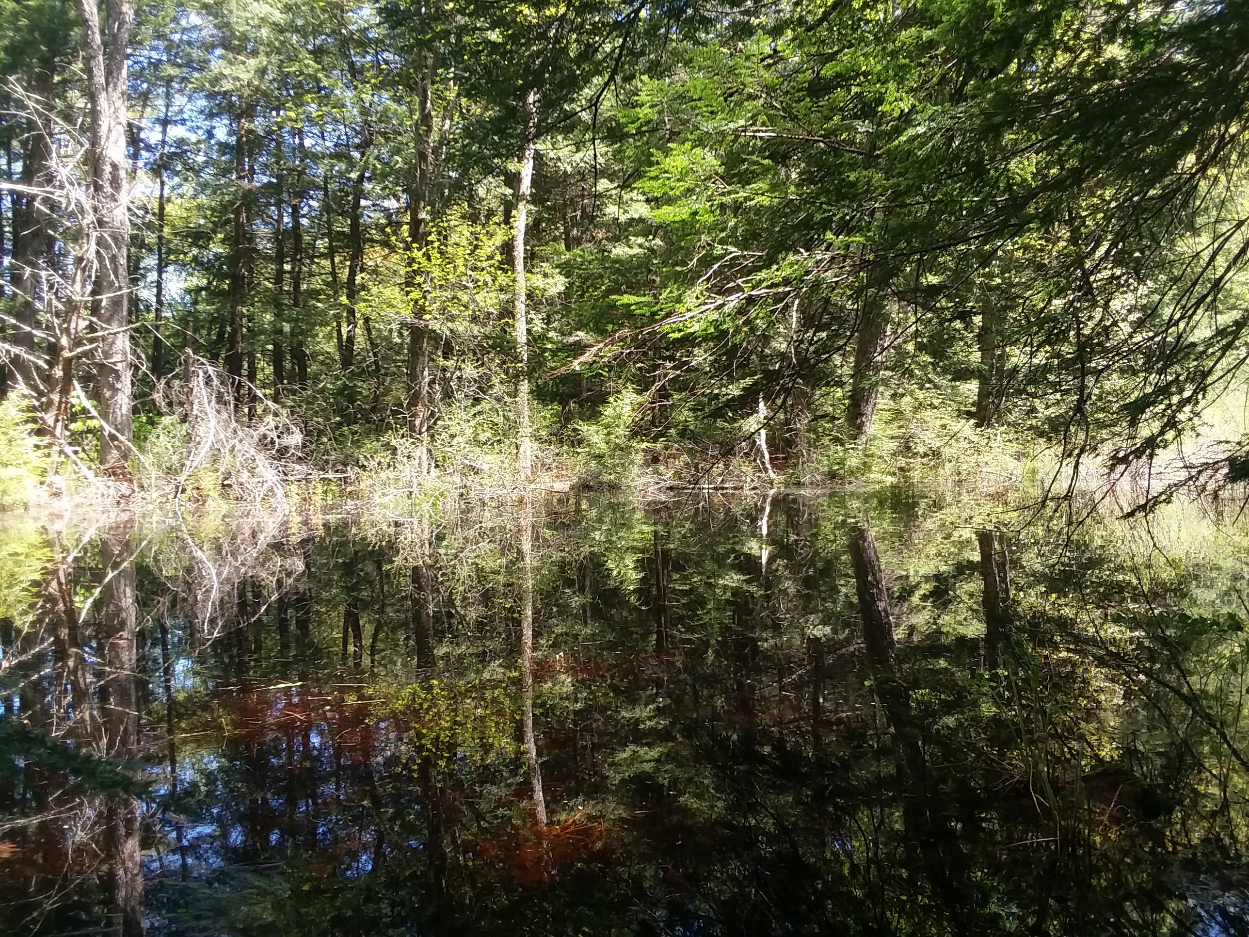
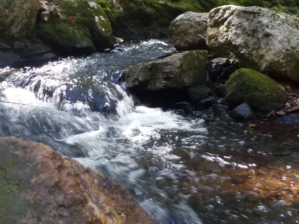
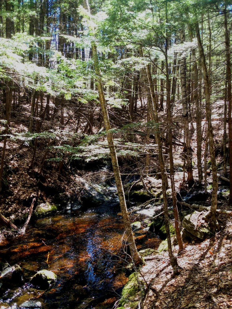
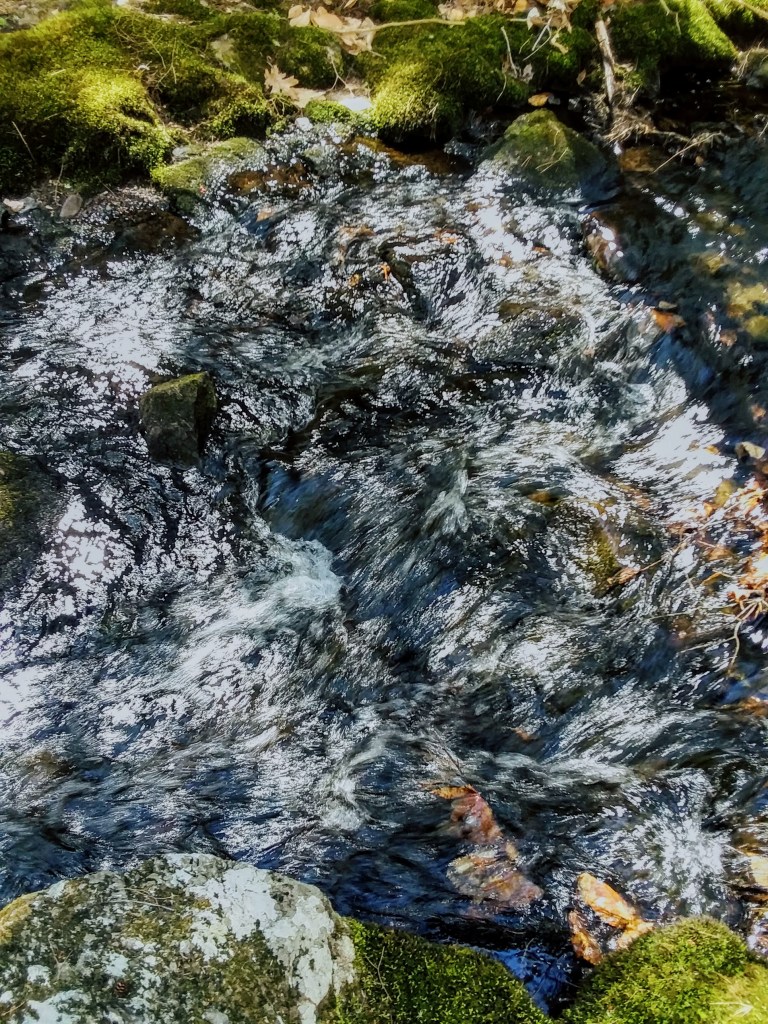
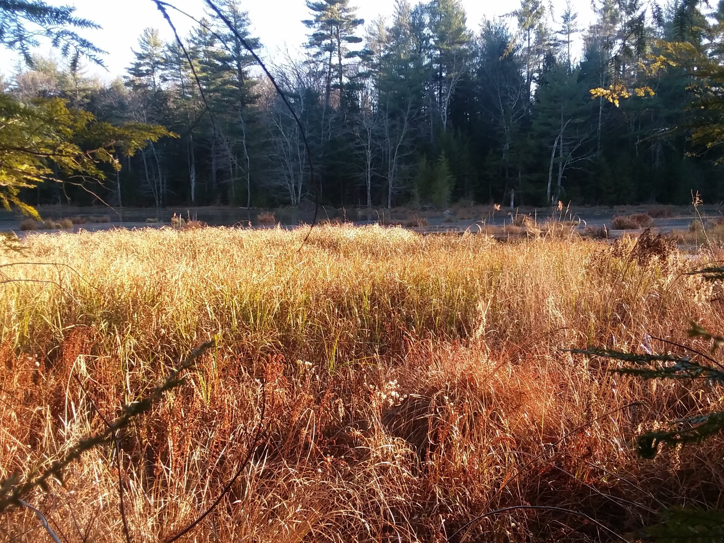
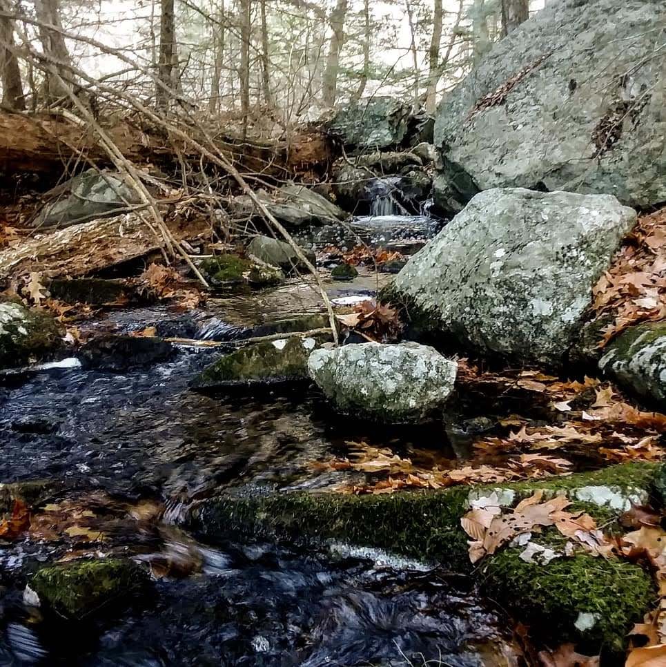
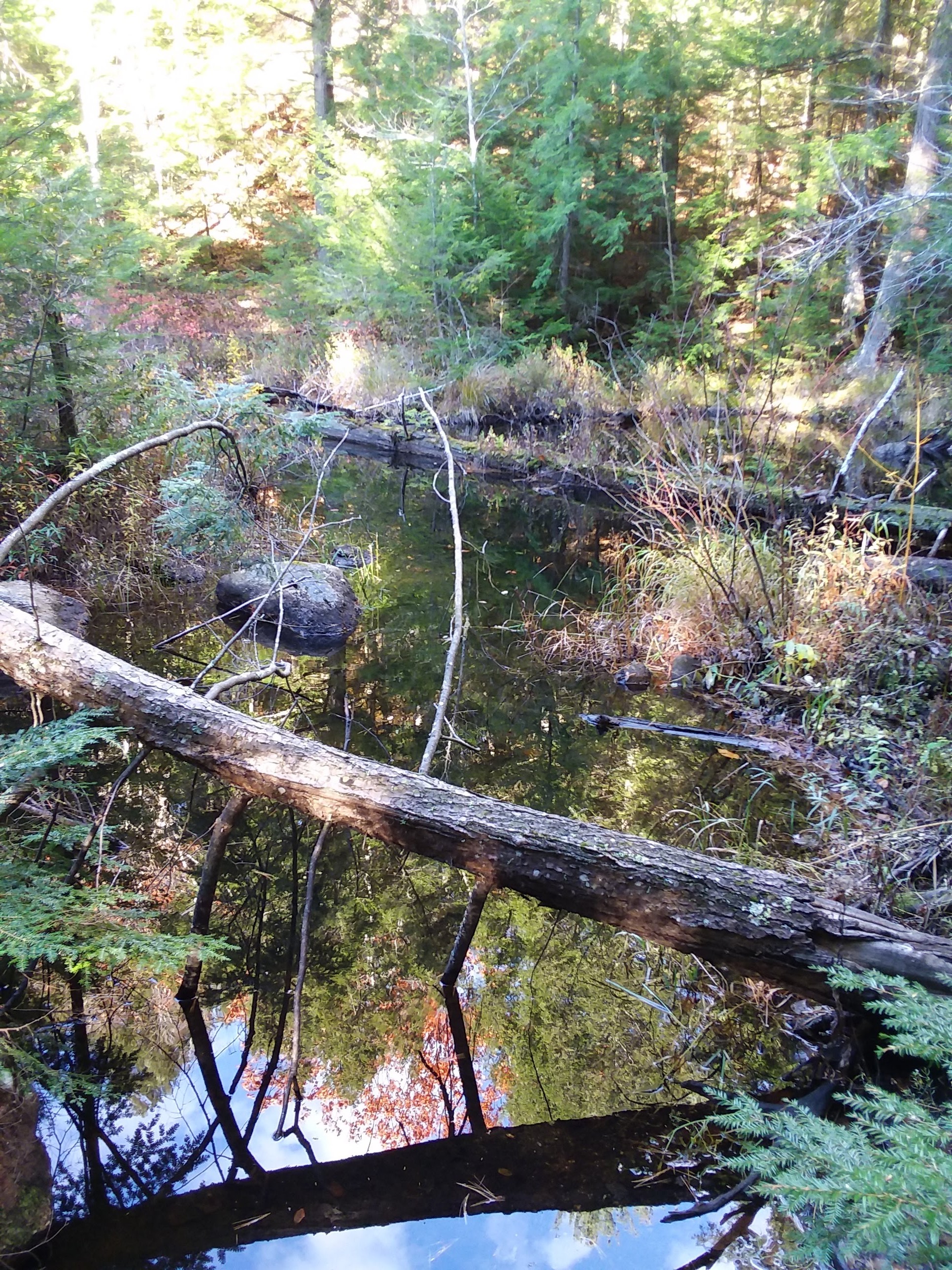
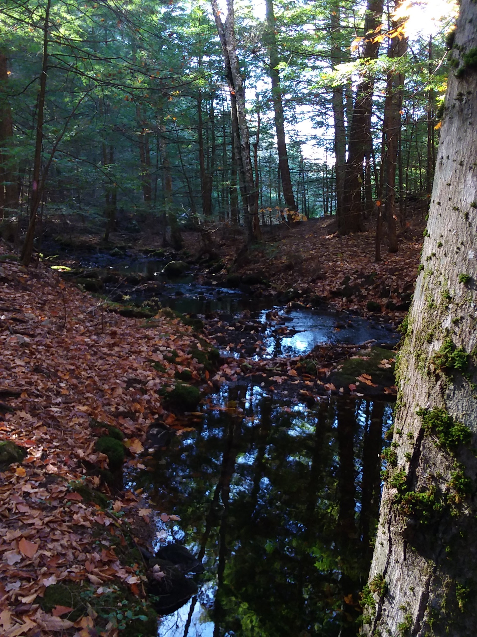
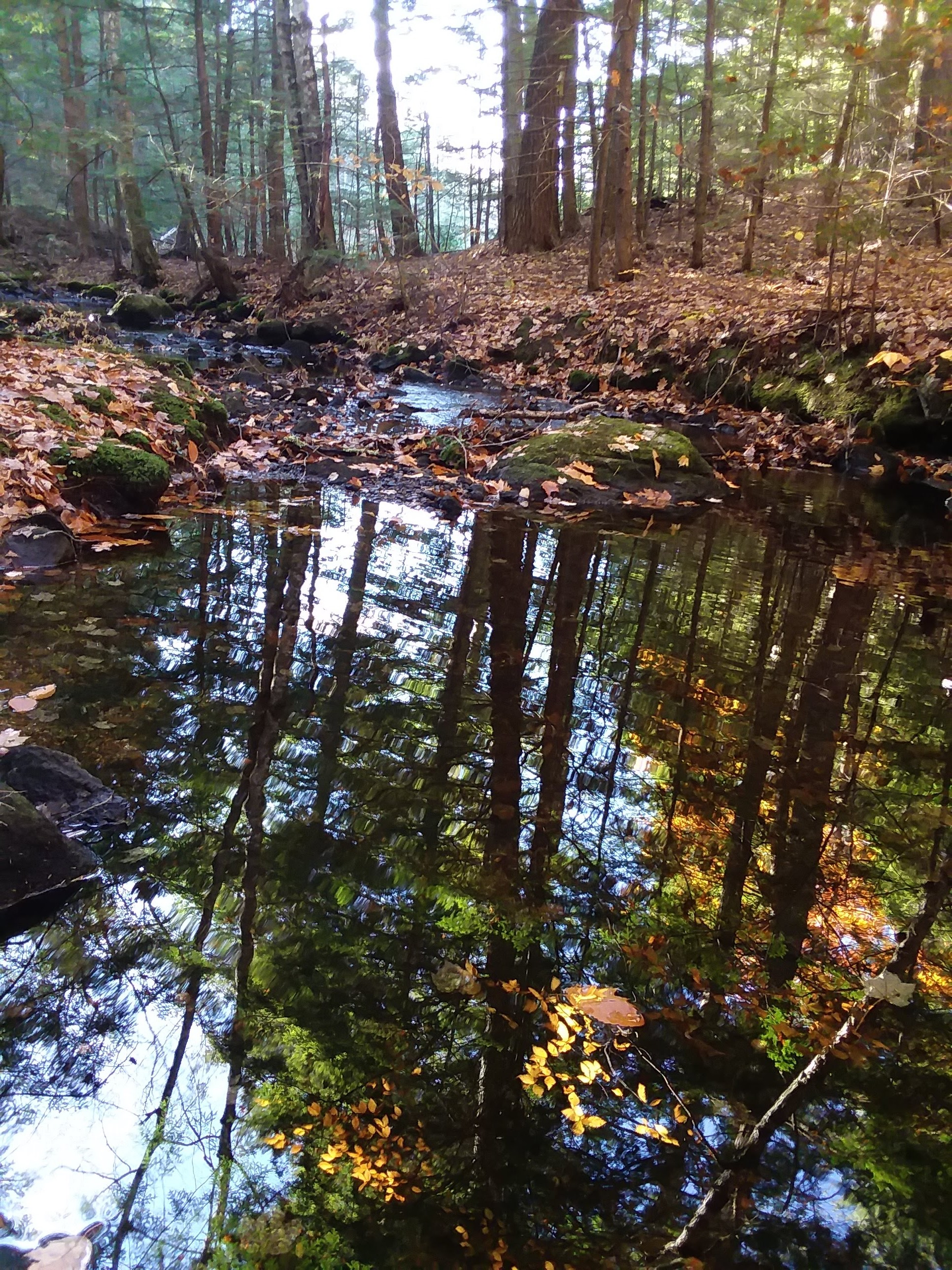
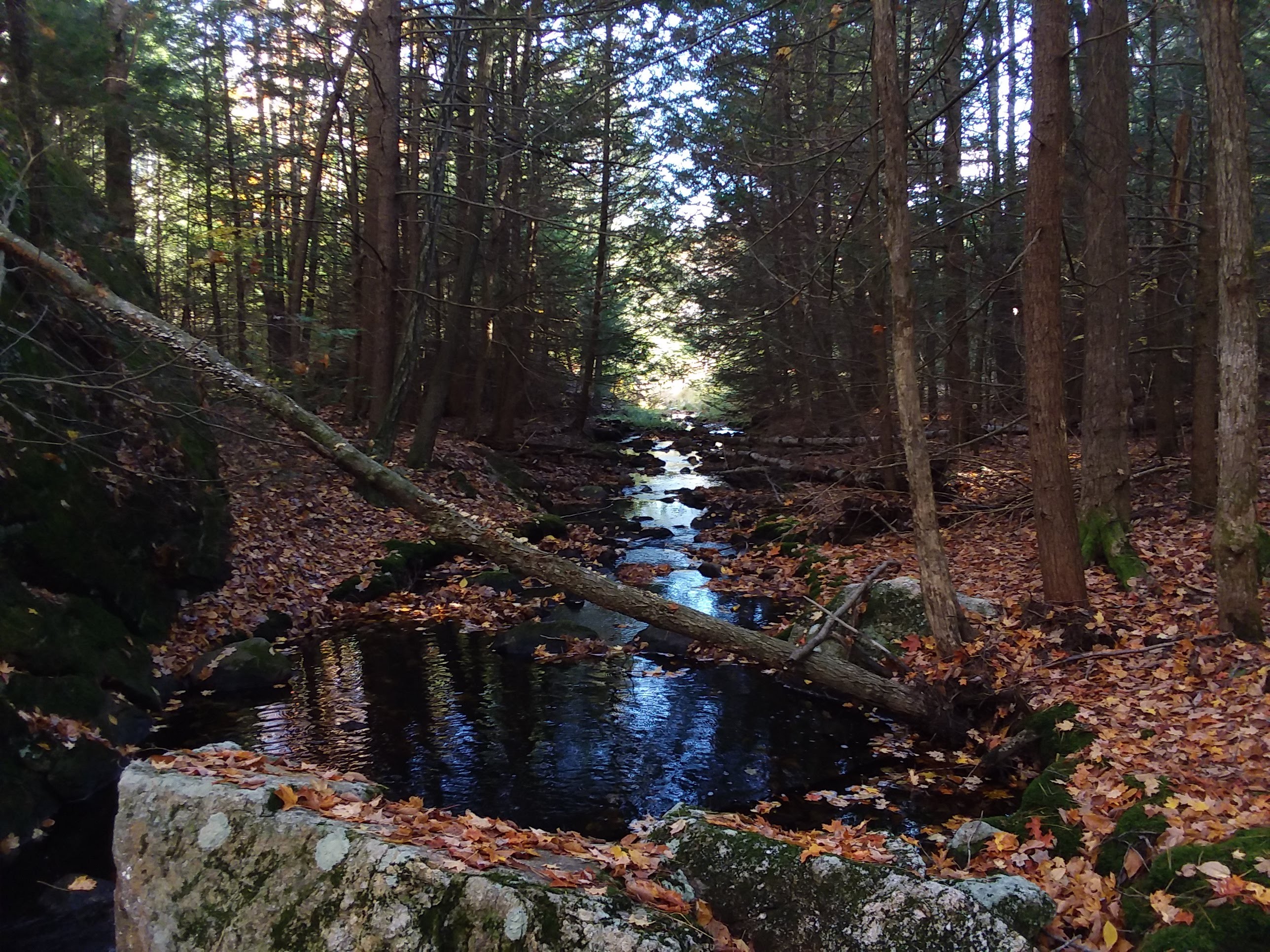
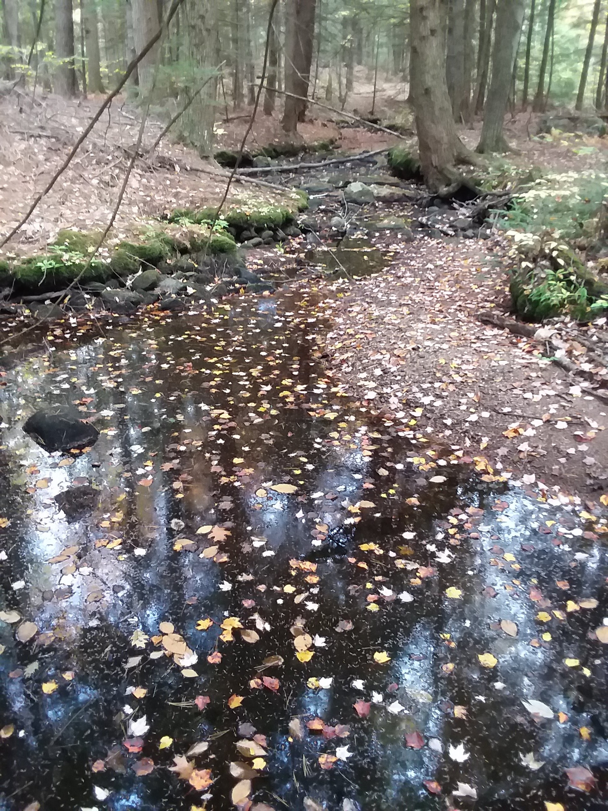
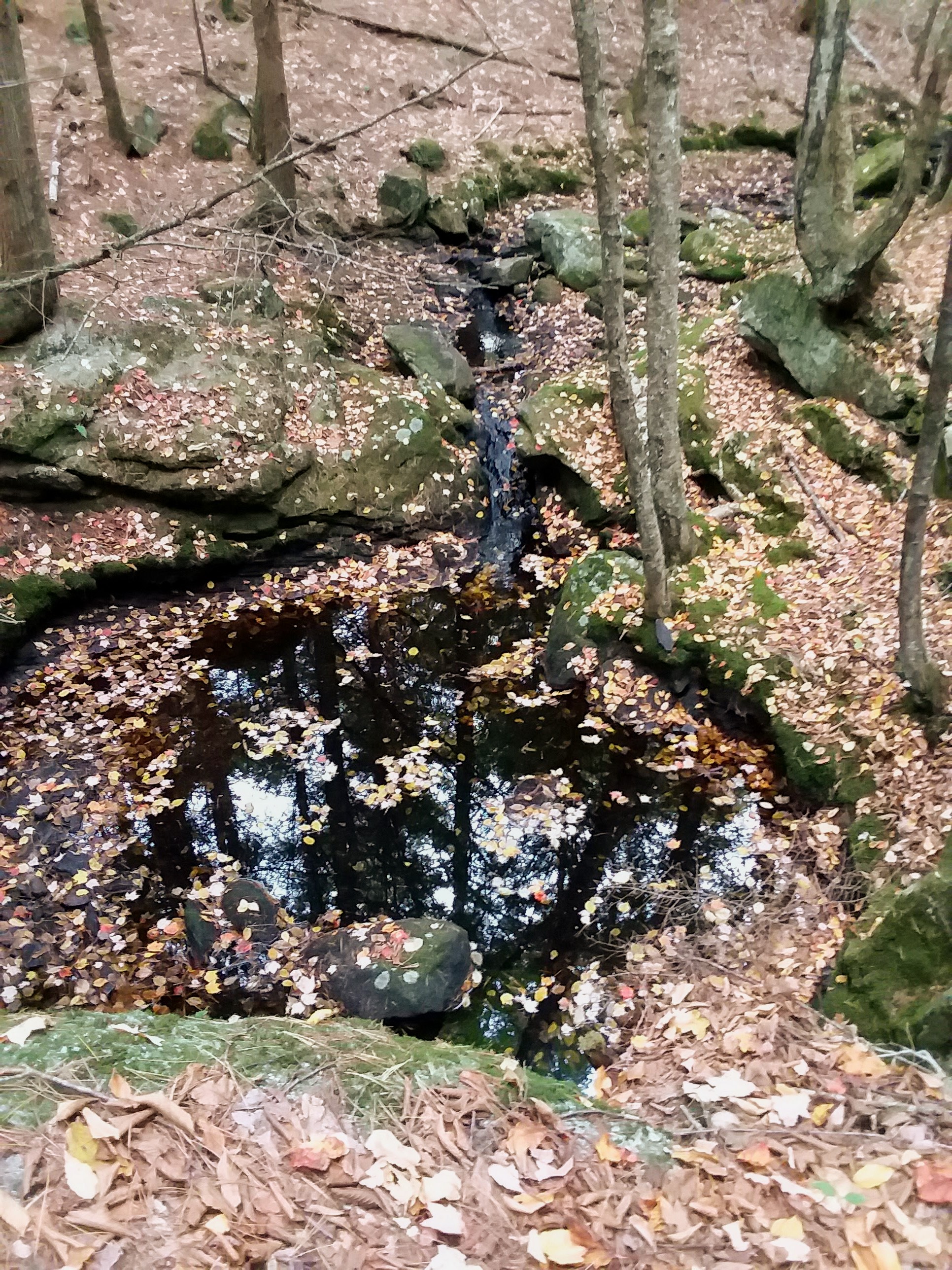
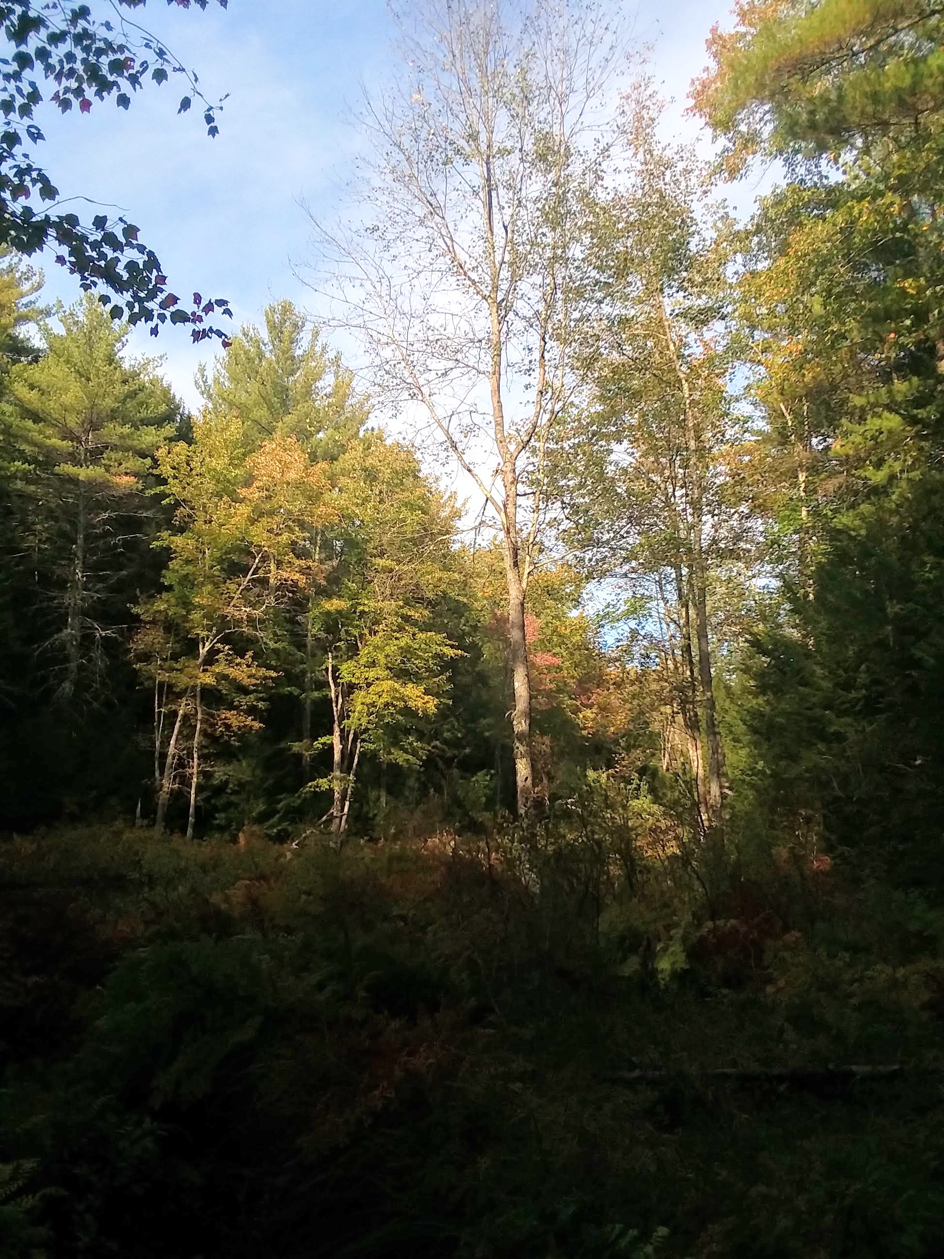
 Follow the sights and sounds of a watery springtime making its way through the forest.
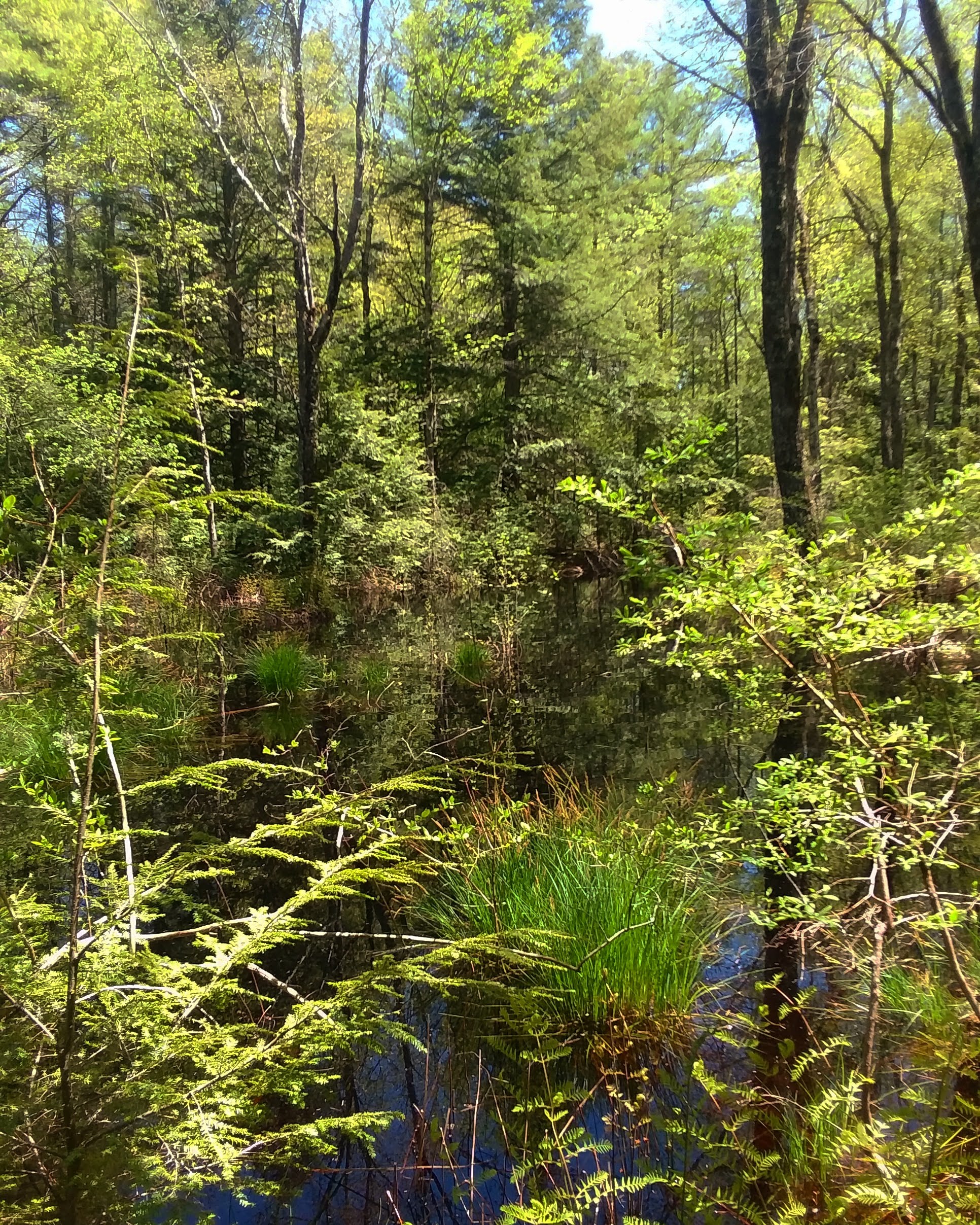
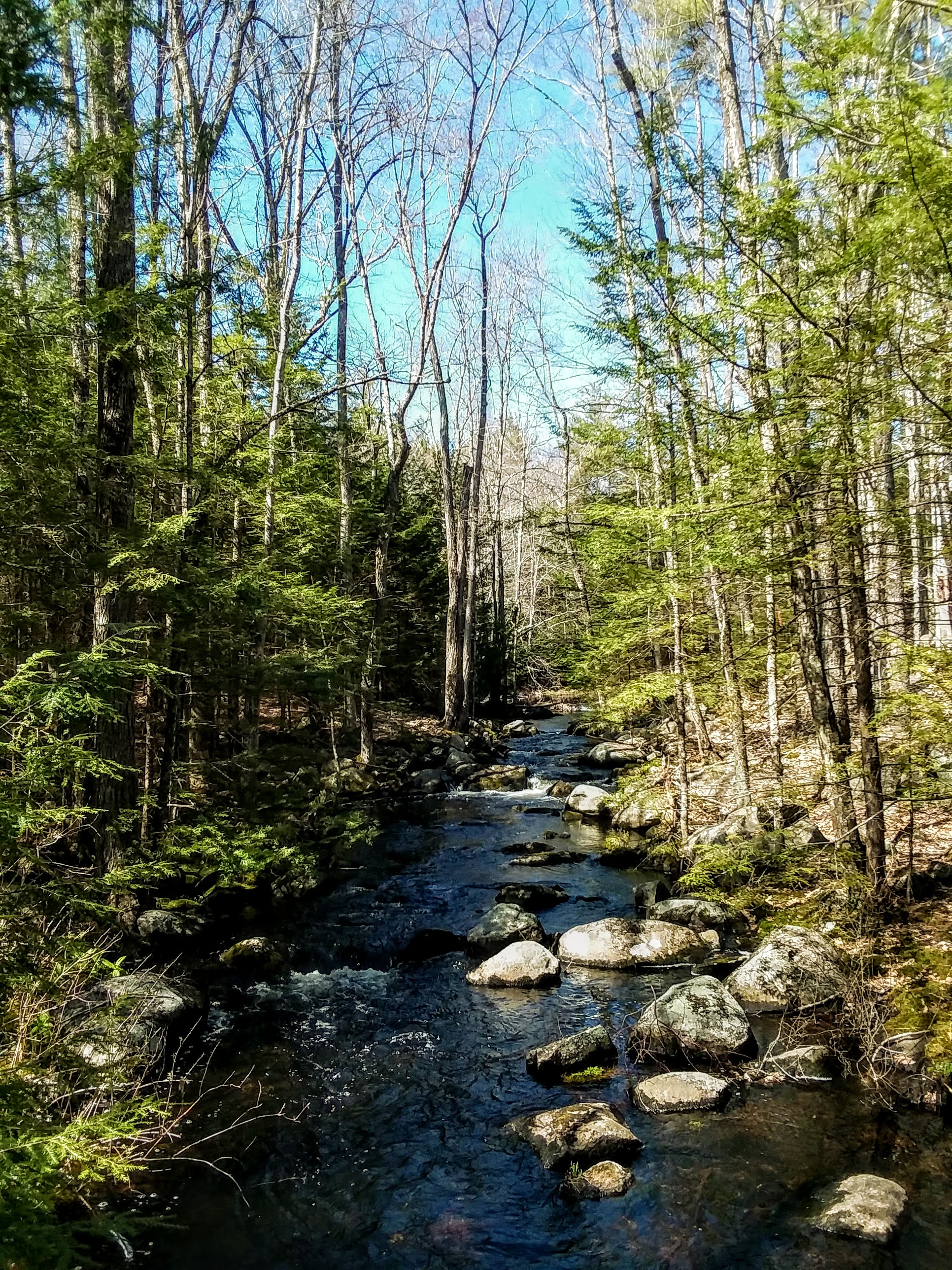
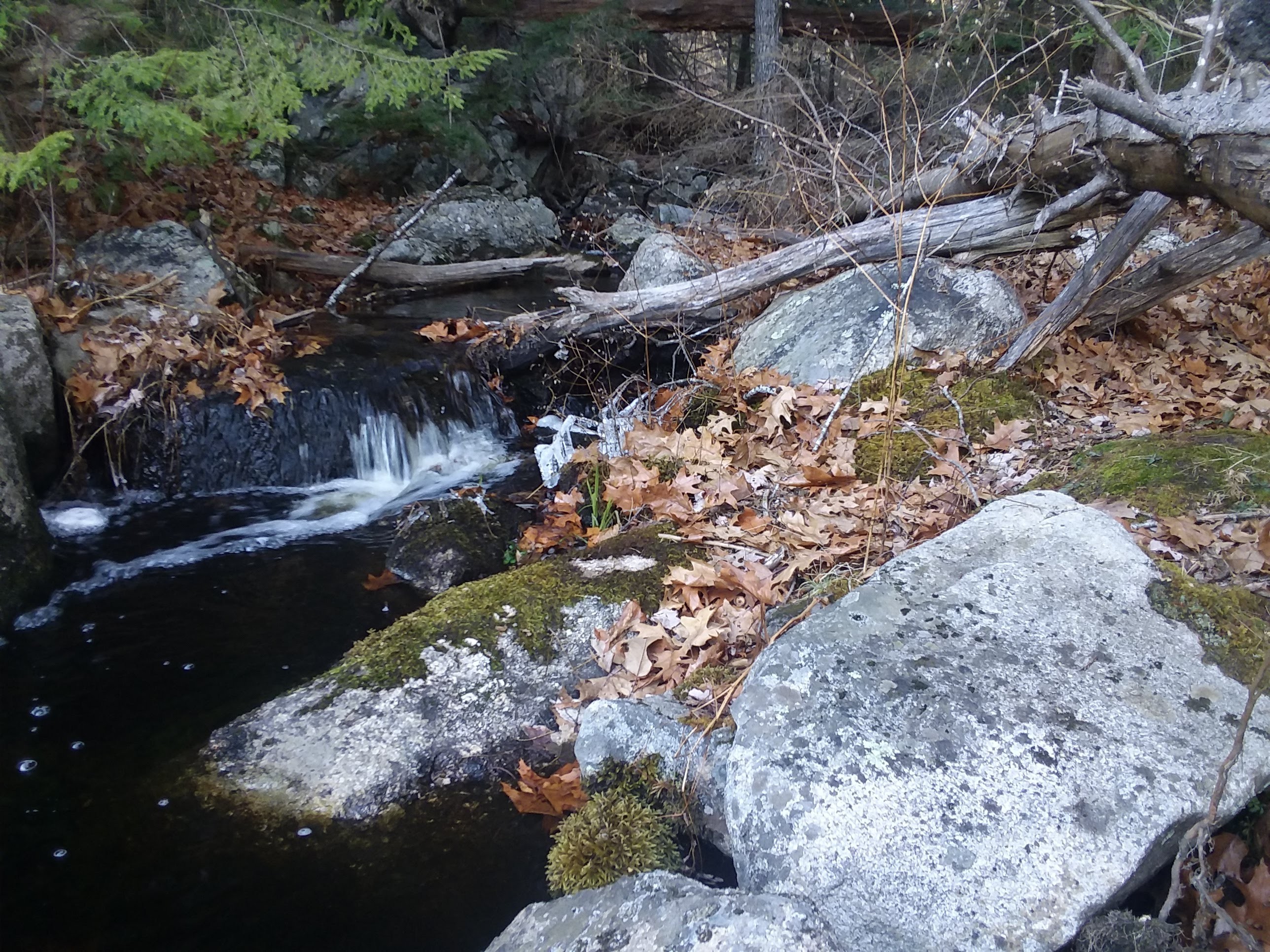
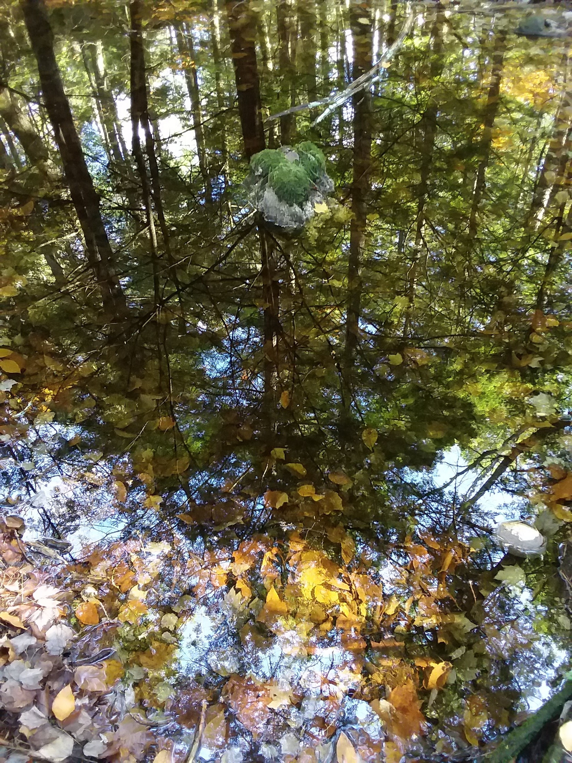
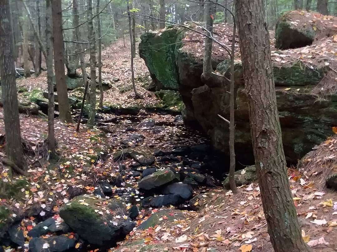
 Bean River, Mulligan’s Forest, Nottingham

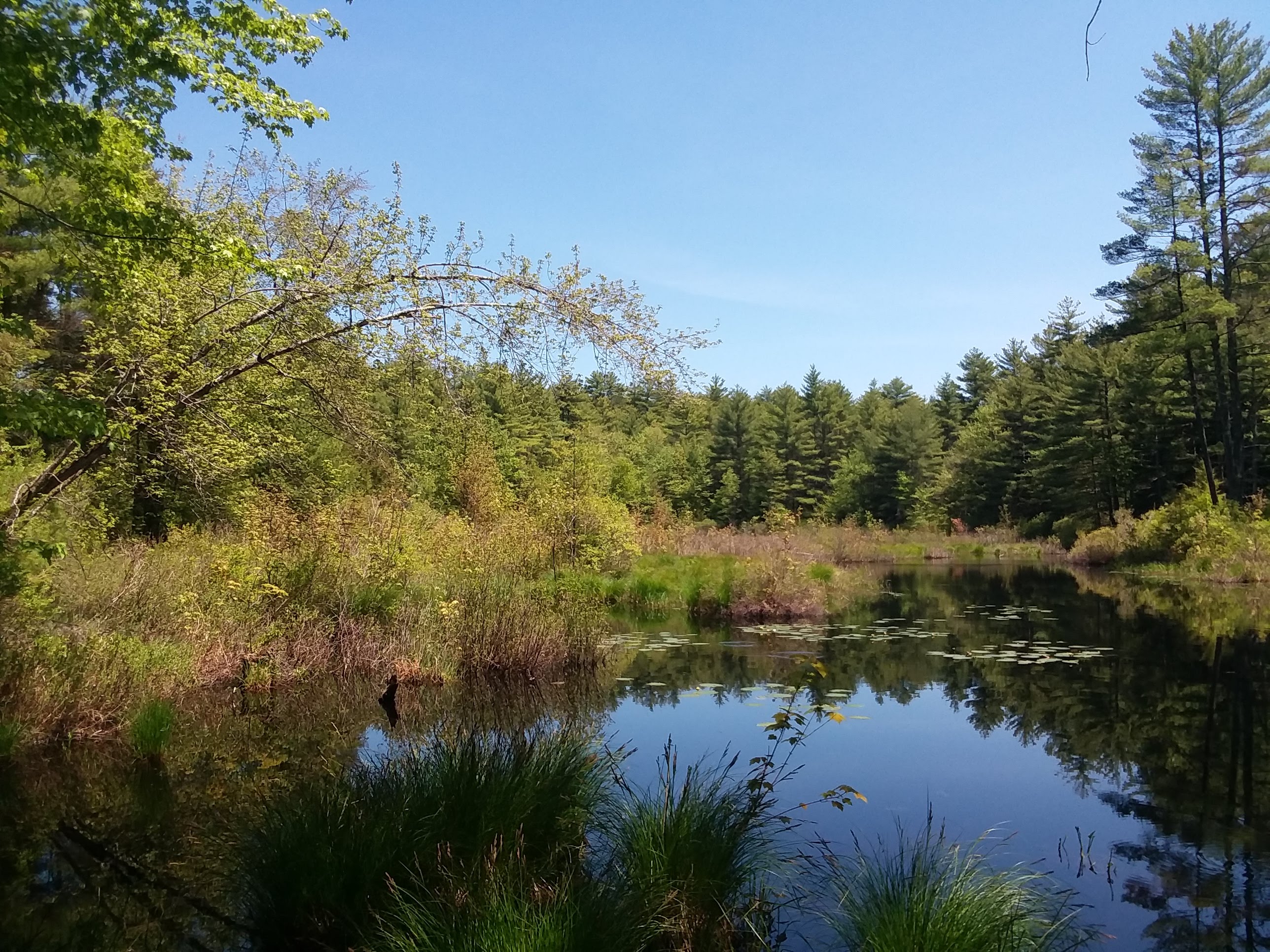
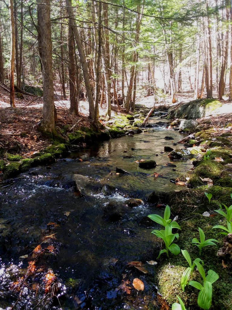
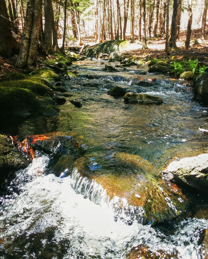
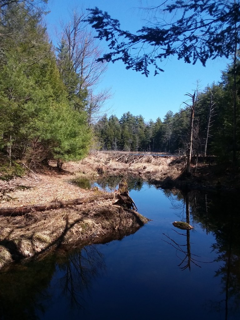
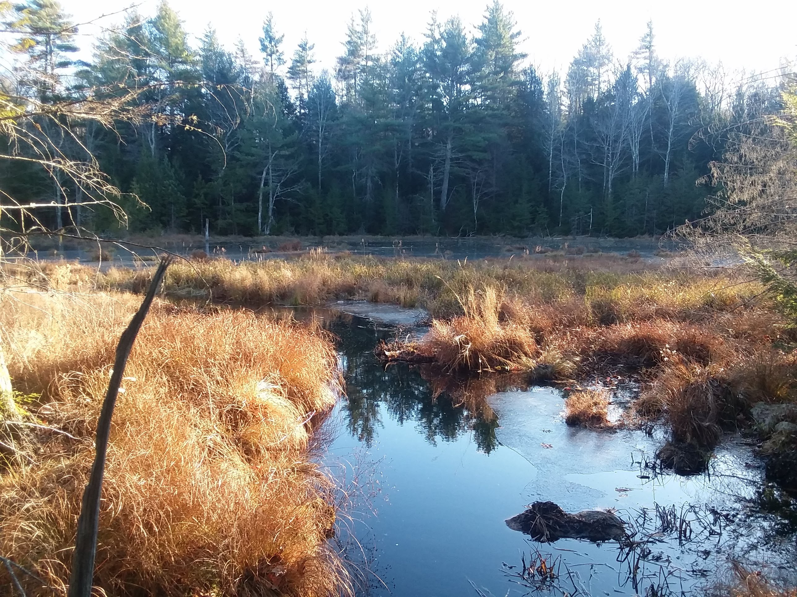
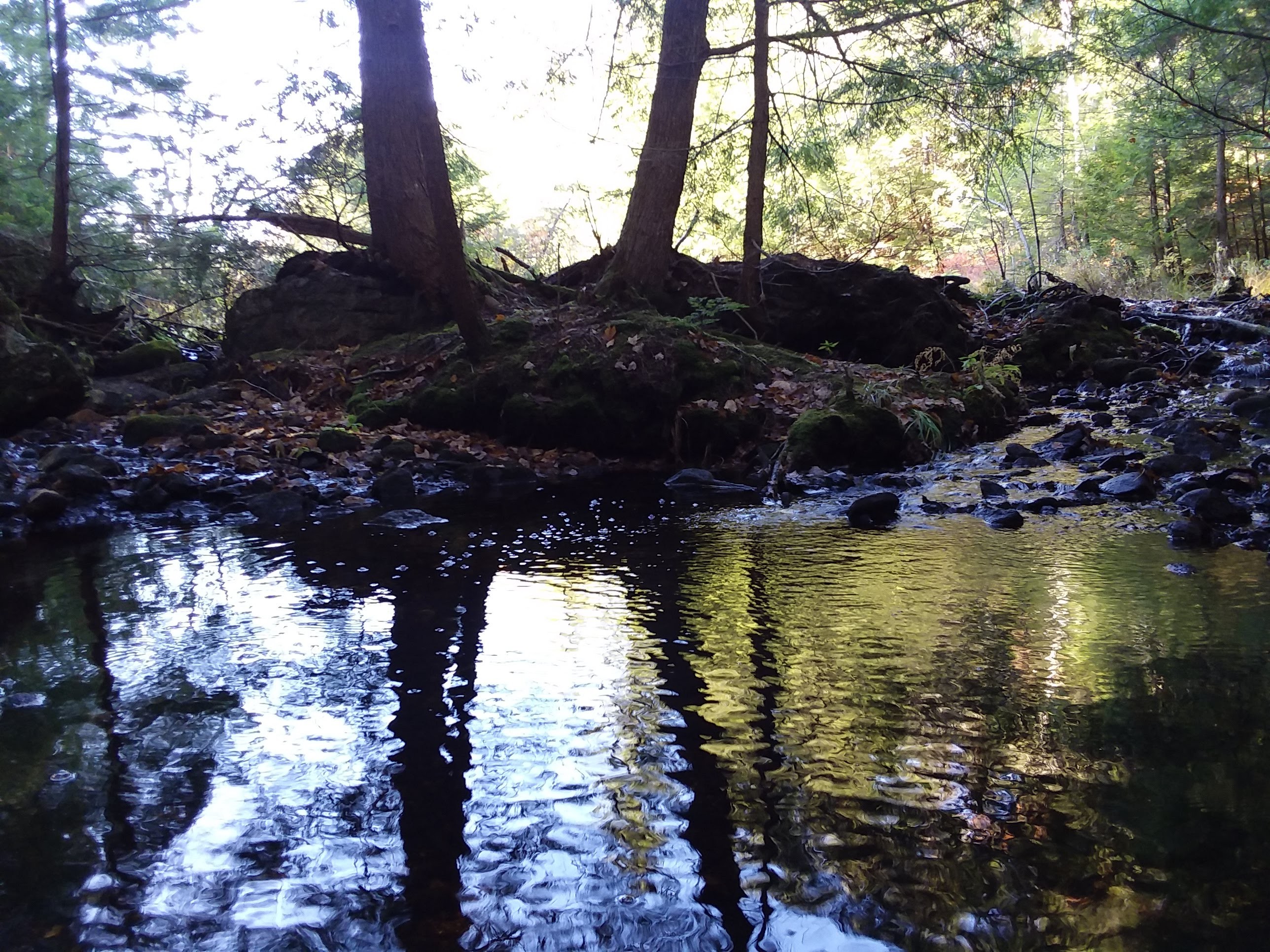
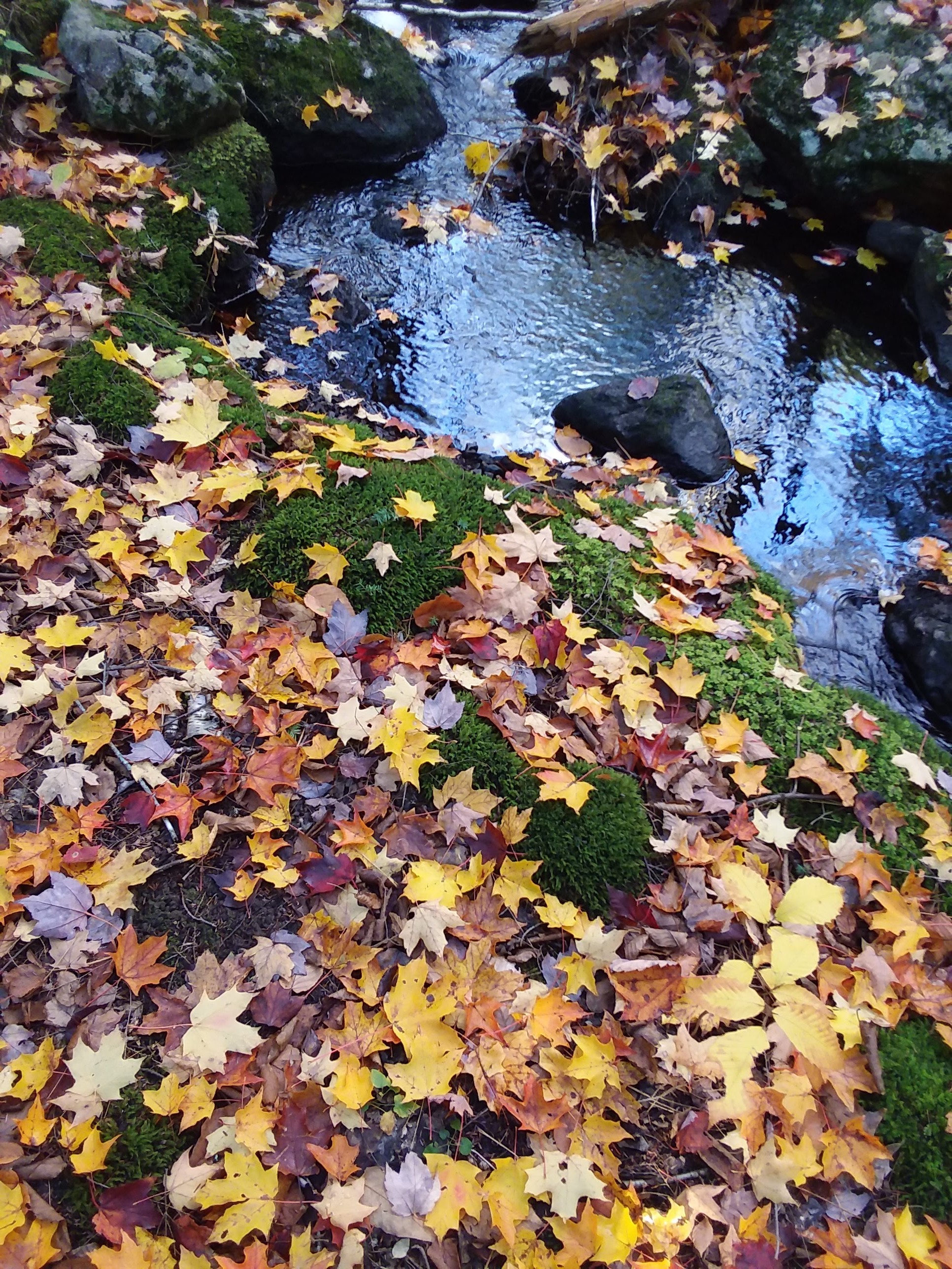
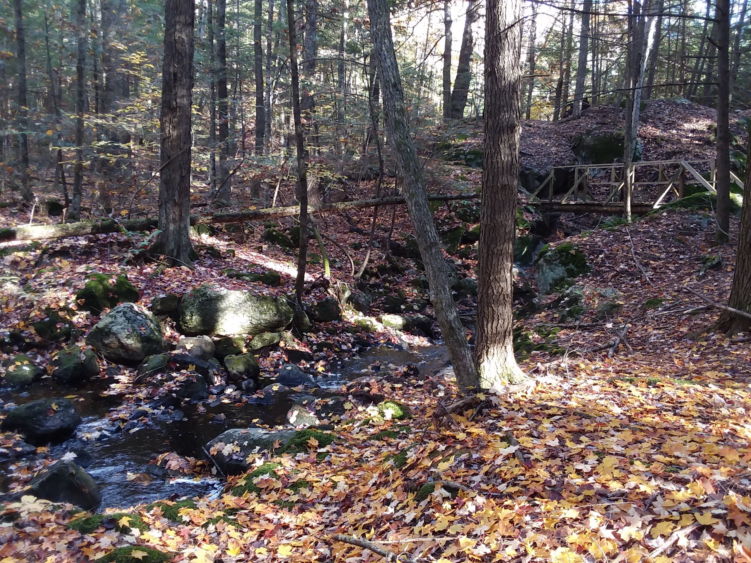
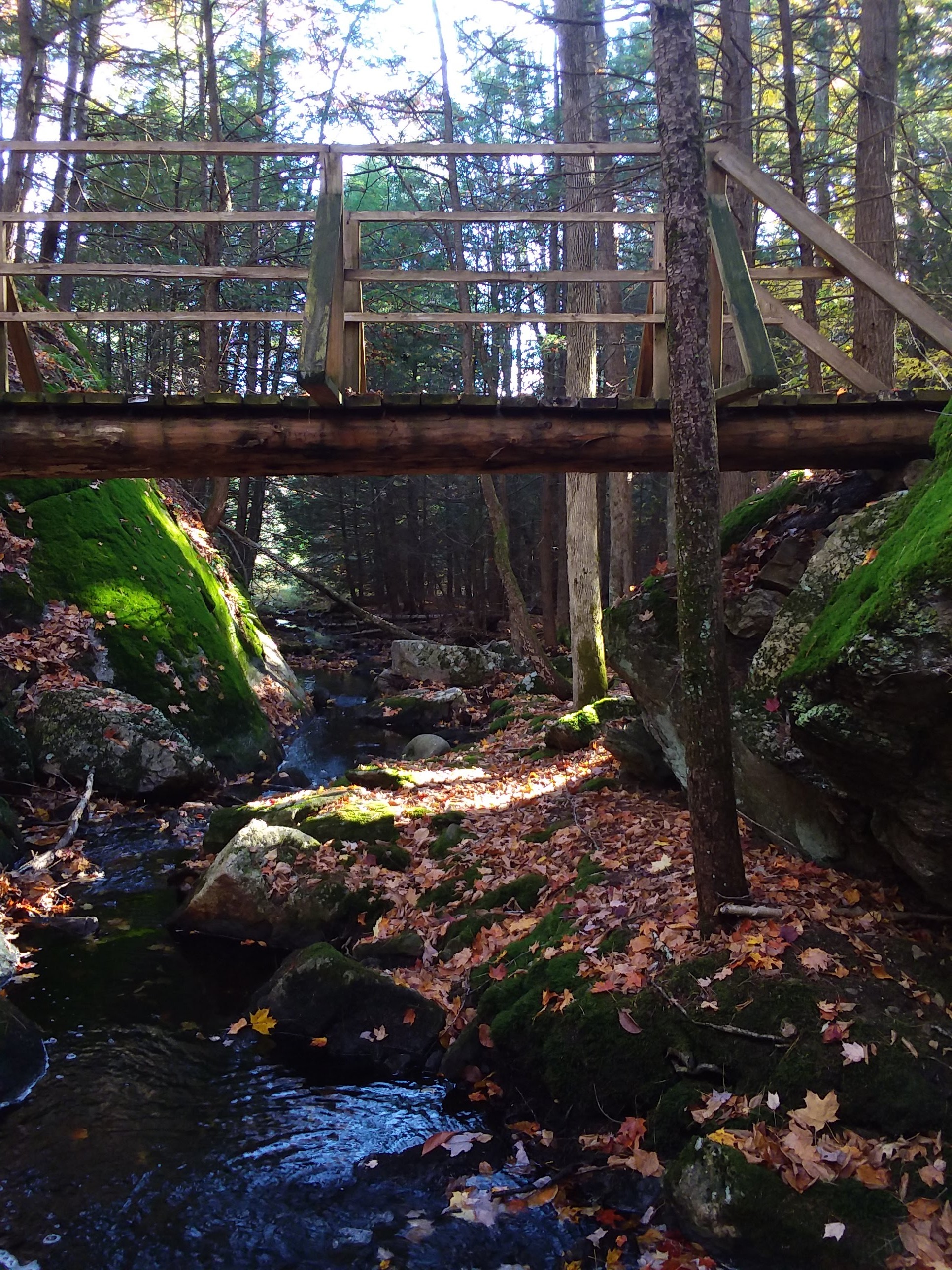
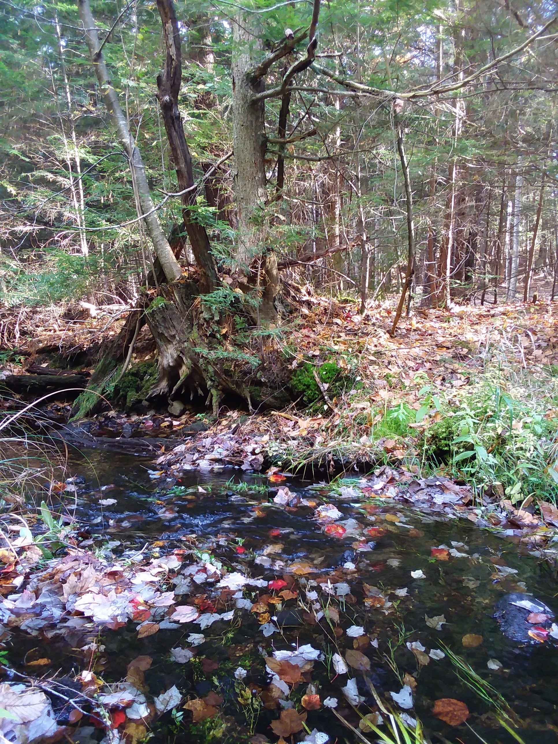
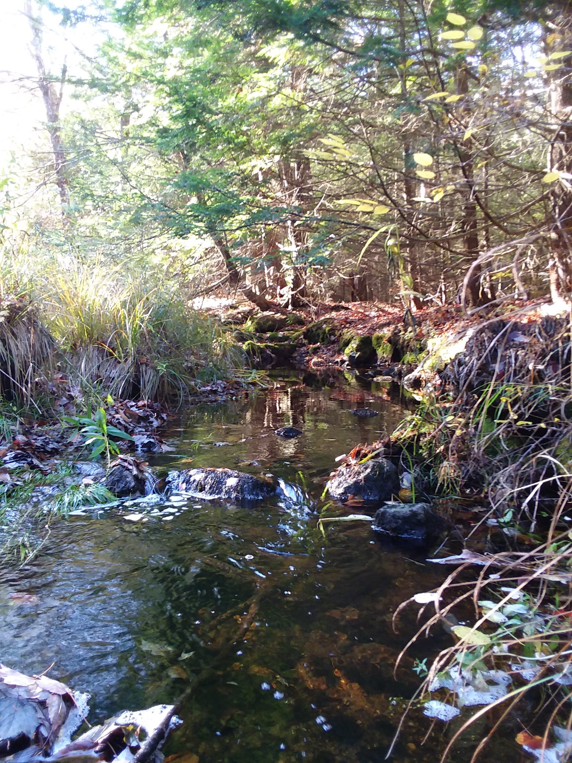
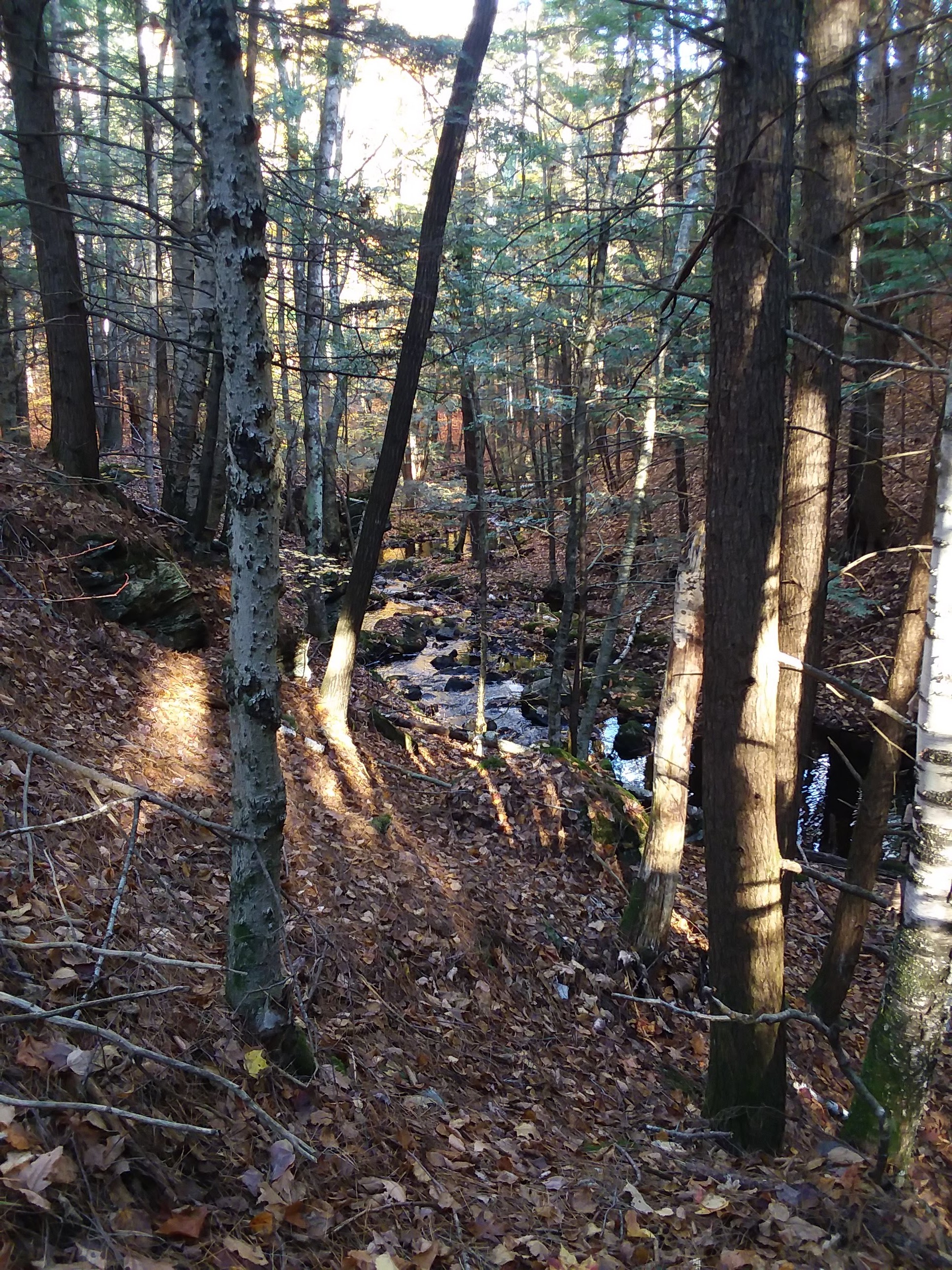
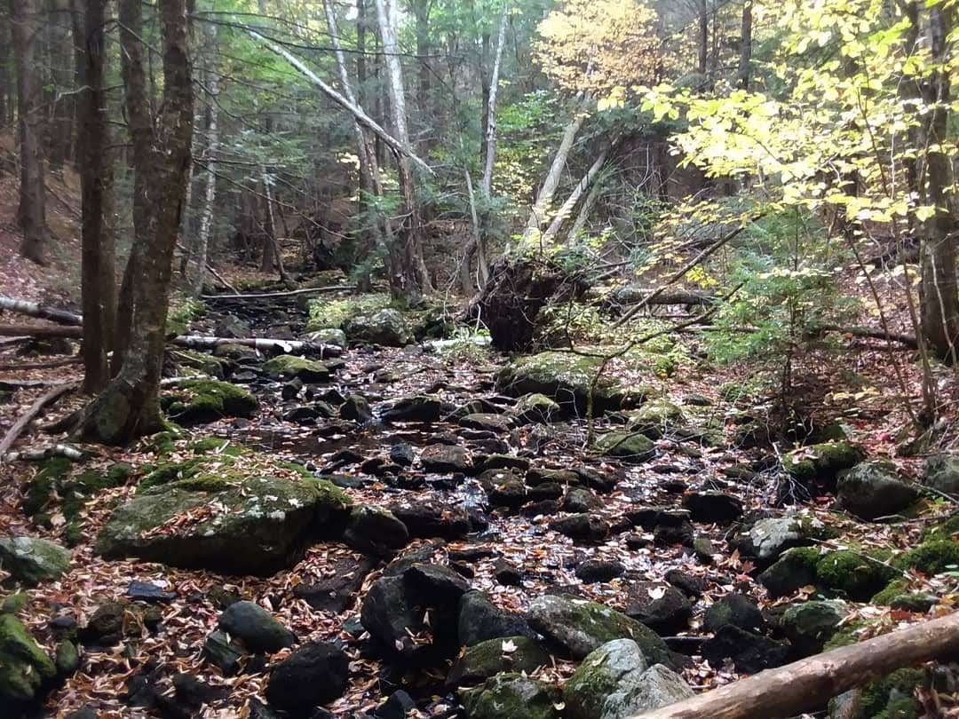
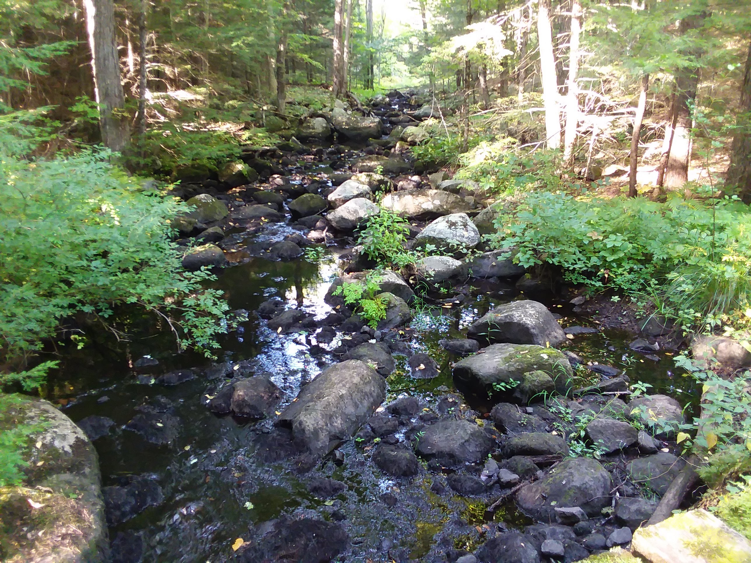
 Back Creek, Great Brook Trail, Deerfield


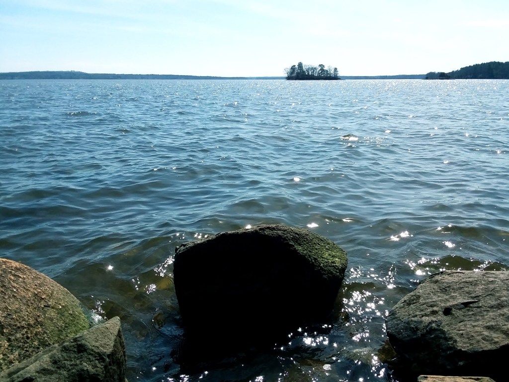
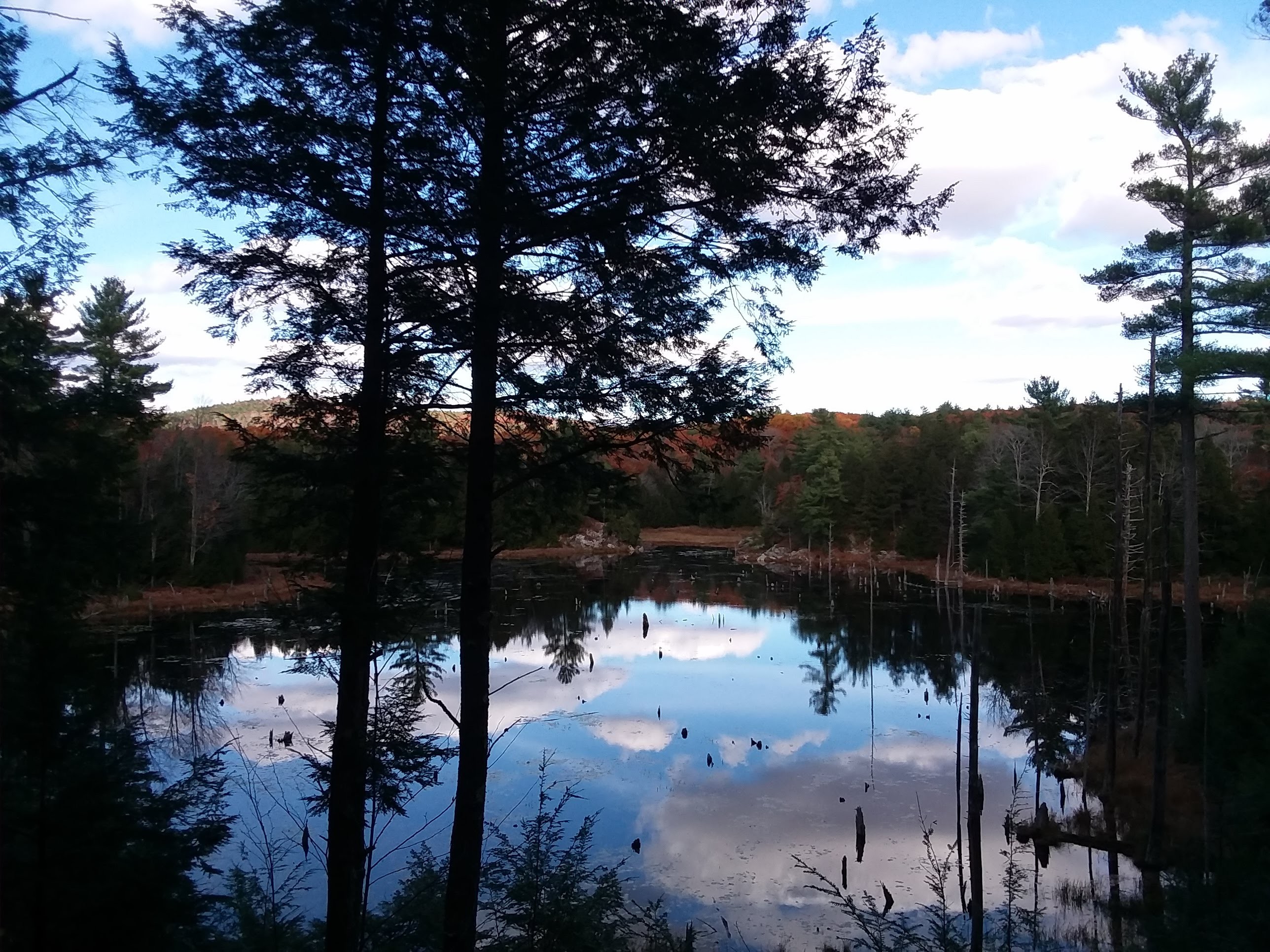
 It’s here at the Great Bay in Durham where many of the rivers and streams of southeastern New Hampshire end up. This bay is an tidal estuary that resides ten miles inland from the Atlantic Coast, being one of the farthest natural estuaries from the ocean.
![20191116_144125~2[1]](https://abstractchannel.com/wp-content/uploads/2019/11/20191116_14412521-1.jpg)
![20191116_144501~2[2]](https://abstractchannel.com/wp-content/uploads/2019/11/20191116_14450122.jpg)
![20191116_143318~2[1]](https://abstractchannel.com/wp-content/uploads/2019/11/20191116_14331821.jpg)
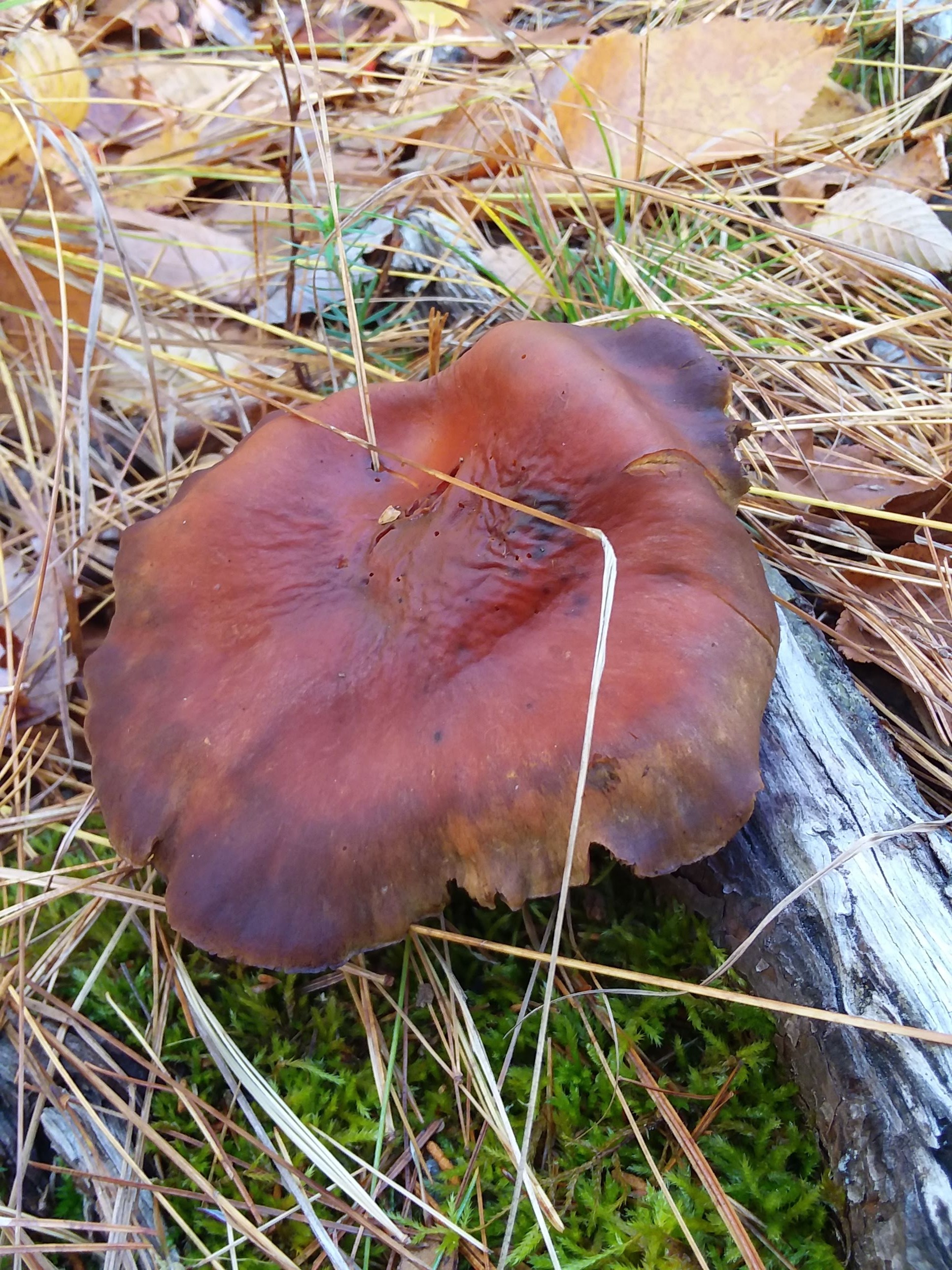


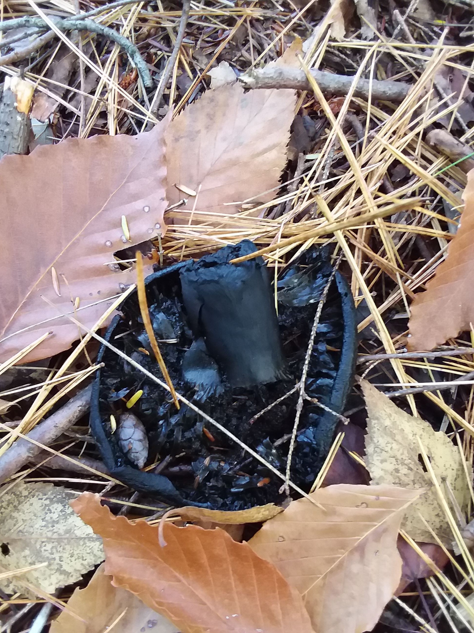

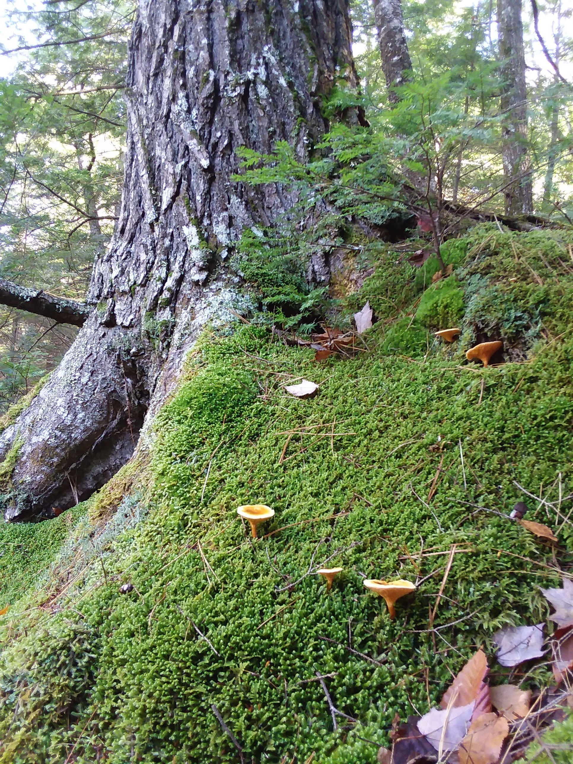


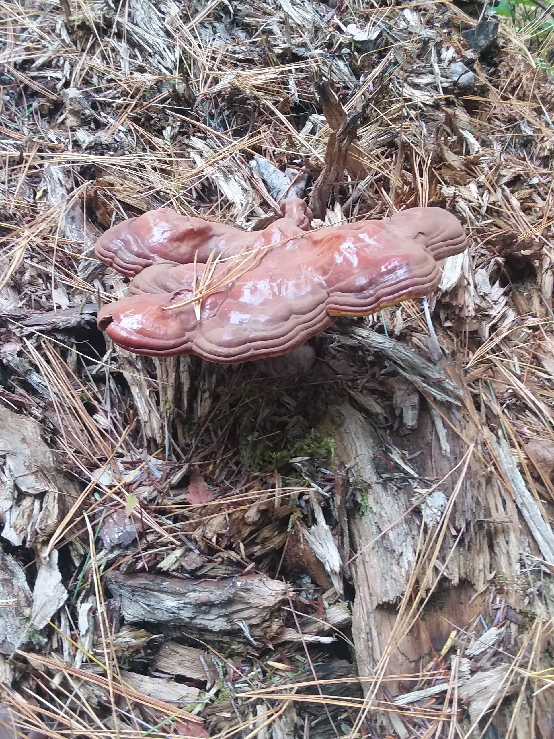
A hemlock varnish shelf mushroom.